DRONE SYSTEMS
Take your drone image
capture to new heights.
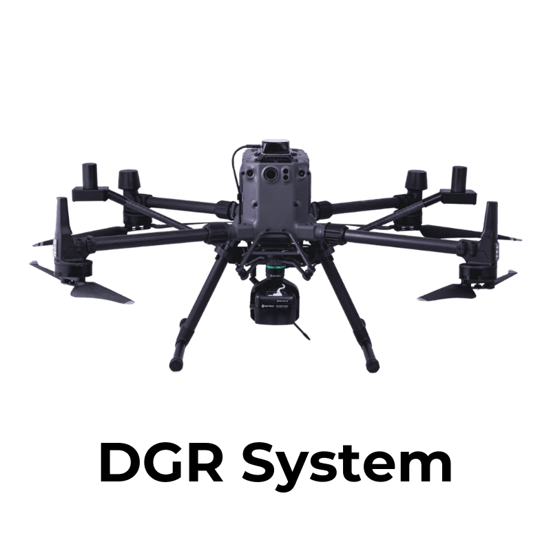
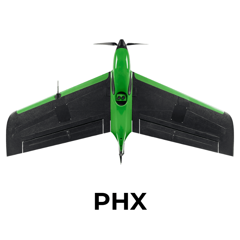
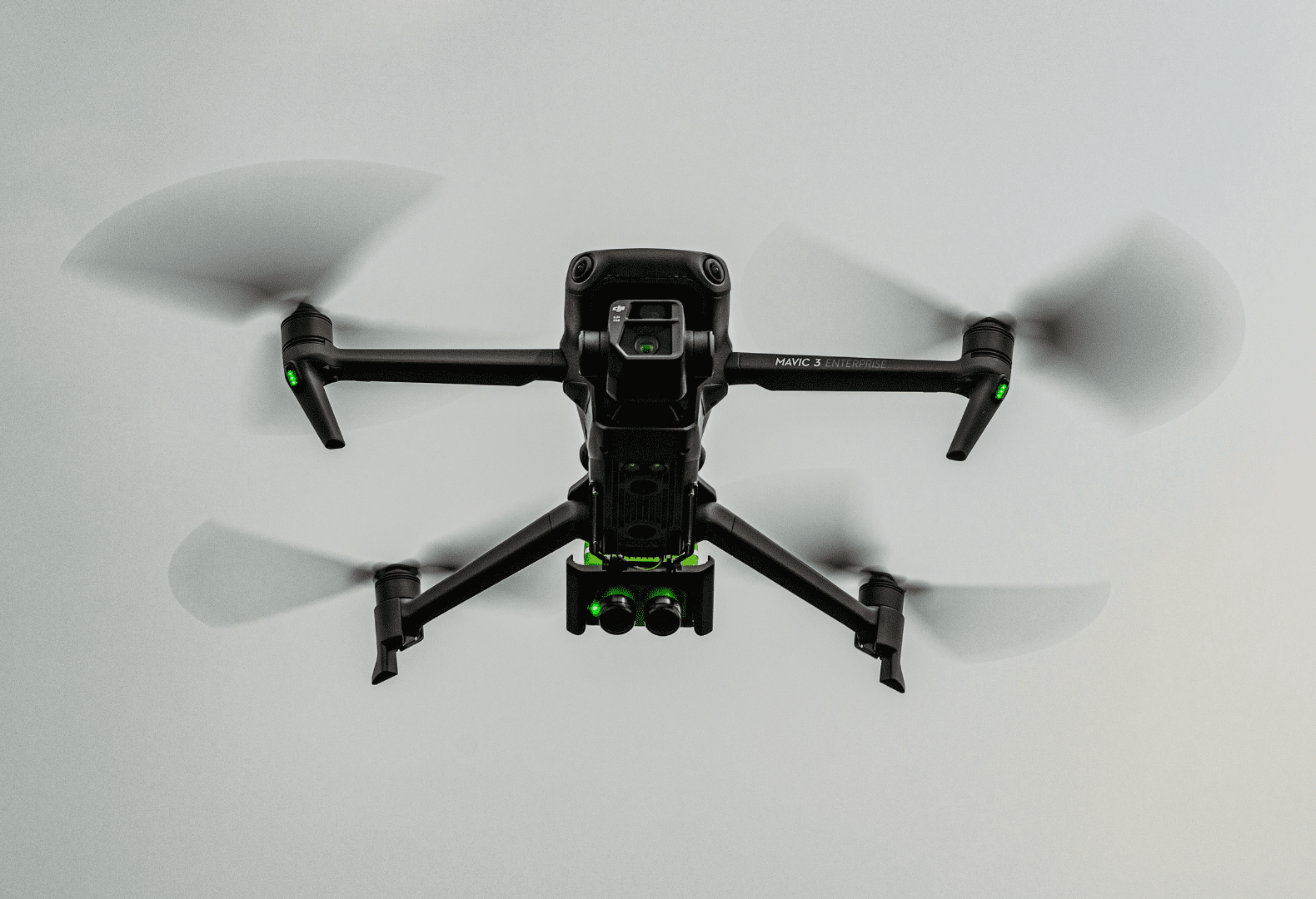
Compatible with the World’s Leading Drone Platforms


OUR SOLUTIONS
Better Aerial Data Capture Begins Now
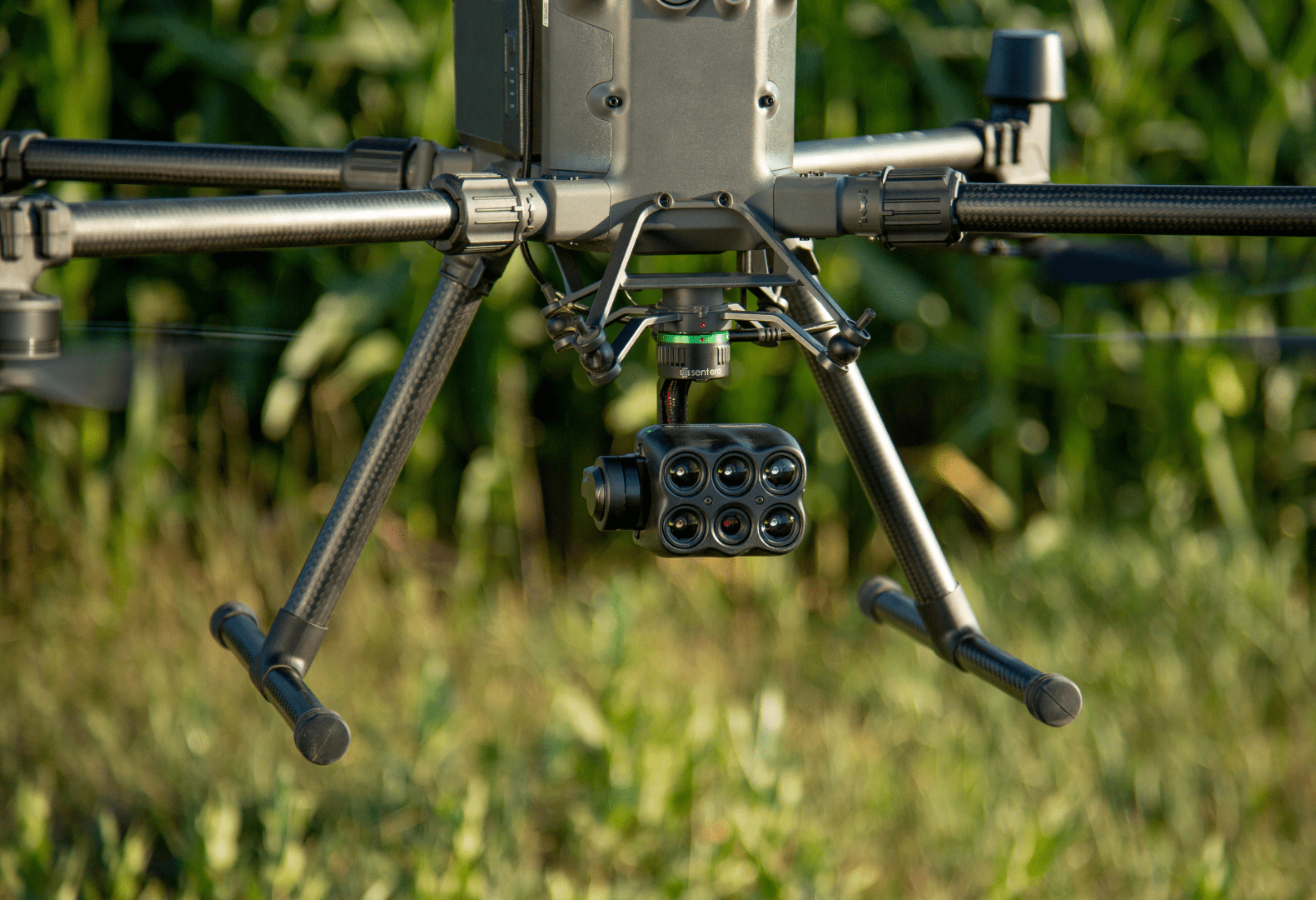
Gimbal-stabilized Sensors for Precision
Our sensors are compatible with leading gimbals, like Gremsy T3, Smart Dovetail, and Skyport, to deliver the most accurate imagery.
Fast Capture Rate Ideal for Aerial Capture
Pair your drone with one of our sensors designed for aerial imagery to get faster capture, covering more ground in less time.
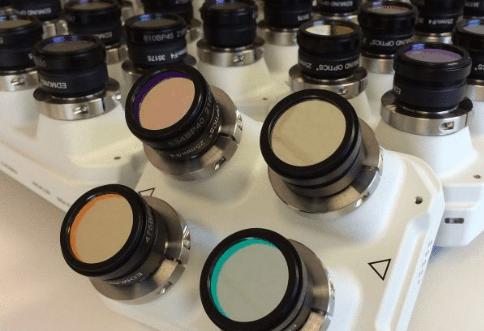
Custom Sensors Designed for Unique Use Cases
Have specific requirements that our current solutions don’t meet? Our team can build a solution to your specifications.
Your drone system starts with a Sentera Sensor.
Capture More Accurate Vegetative Indices
Go beyond NDVI and NDRE imagery that you can capture via satellite to get more precise data for analysis.
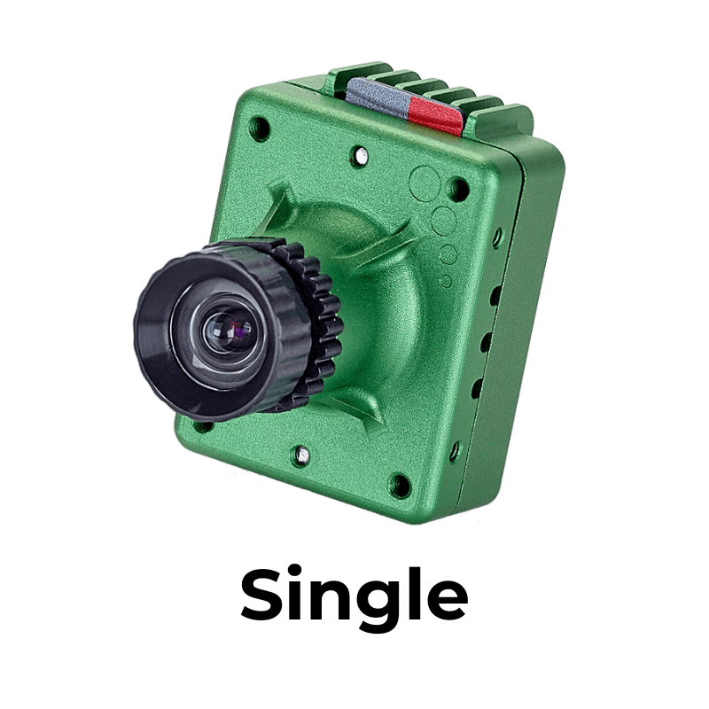
Compatible with DJI Mavic 2 Pro and DJI Phantom 4 Pro
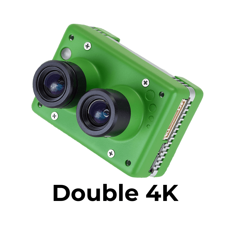
Rely on the Industry’s Most Versatile Multispectral Sensor
Get detailed multispectral imagery to turn into more precise measurements and analytics.
Compatible with DJI Matrice 200/300/600, DJI Mavic 2 Pro, DJI Mavic 3 Enterprise, DJI Mavic 3 Thermal, DJI Phantom 4 Pro, Sentera PHX
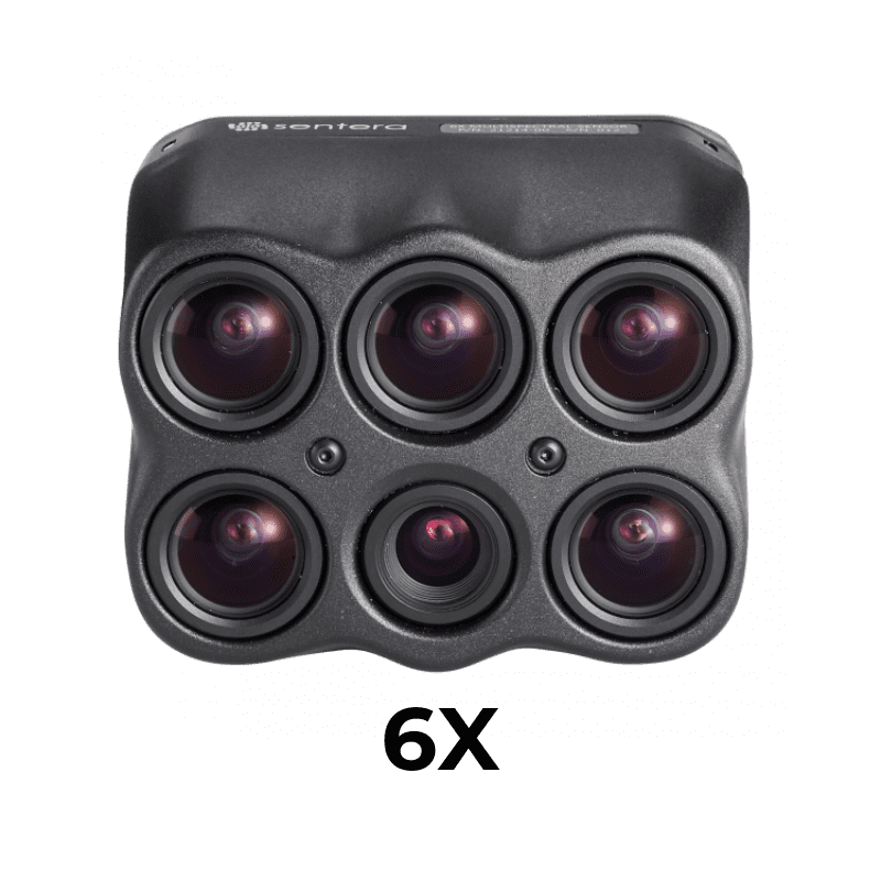
Get fast-frame rate performance and high radiometric accuracy
Get science-grade multispectral imagery with the option to extend optics to pixel-level temperatures.
Compatible with DJI Matrice 200/300, Freefly Astro
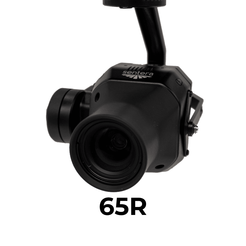
Maximize pixel coverage with an ultra-high-resolution sensor
Trust in more precise, accurate aerial data with a camera purpose-built by aerial-imagery experts for seamless drone integration.
Compatible with DJI Matrice 200/300, Freefly Astro, Sentera PHX
Hear From Our Customers
Your Expertise, Our Technology.
Let's build a data-driven solution to validate outcomes.

