
Capture More – Faster, With Confidence

High-Precision Single
Entry-level ag sensor for NDVI/NDRE

Double 4K
Versatile sensor for multispectral imagery

6X Multispectral
Research-grade quality multispectral

6X Thermal
Calibrated multispectral with thermal capabilities

65R
Ultra-high-resolution aerial sensor purpose-built for drones

Rely on Proven, Precision Sensors
Use our field-tested, aerial-based solutions to get the data you need, whether you require specific plot measurements or data-driven insights for grower engagement.
Get Reliable Data & Insights
Rely on our ag sensors to get you the high-resolution imagery you need, when you need it – because we know that while measurements matter, timeliness matters even more.


Power Faster Agronomic Decisions
Validate outcomes and performance with access to more data and deeper insights – without sacrificing quality so you can focus on making critical decisions.
Our Recommended Ag Drone Packages
Accomplish your aerial missions faster by choosing one of our pre-configured packages, built with Sentera’s leading sensors.

Research Package
Calibrated Multispectral and High Resolution RGB Insights

Broad Acre Package
Maximum Coverage Crop Health Maps and Insights

Scouting Package
Versatile Crop Spot Scouting and Mapping
Discover how Sentera can help you make critical decisions
Stay in the Know
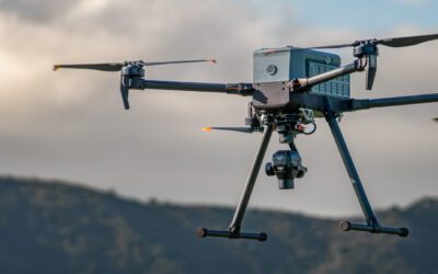
Sentera Launches Integration with Inspired Flight
Sentera today announced that it has partnered with Inspired Flight to Integrate the 6X and 65R sensors with their drone systems.
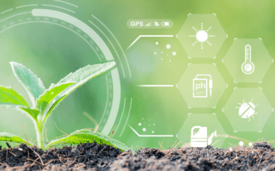
Sustainable Agriculture: Remote Sensing for Optimum Nitrogen Use
When it comes to sustainable agriculture, technology plays a large role. Read how leveraging remote sensing technologies can transform nitrogen use.
Sentera Sensors Now Compatible with Gremsy Quick Release
Today Sentera announced that its 65R and 6X sensors are compatible with the Gremsy Quick Release. This means that these industry-leading sensors are compatible with more drone systems.