

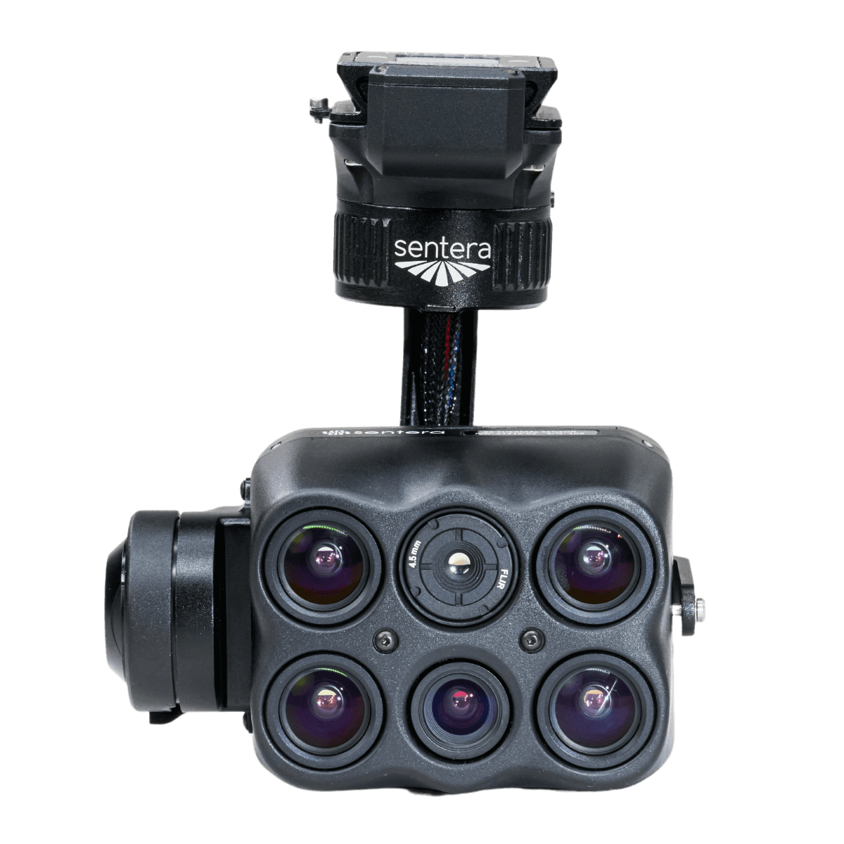
What is the Sentera 6X Sensor?
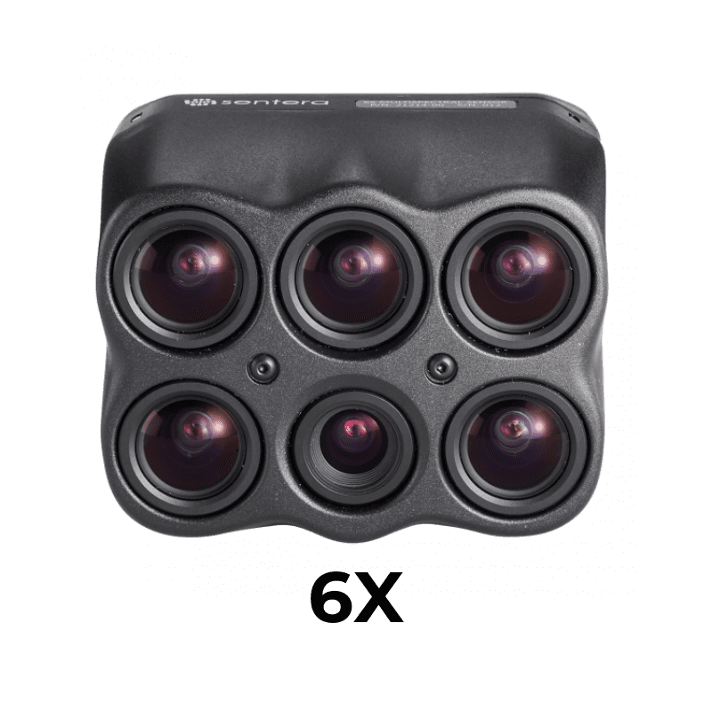
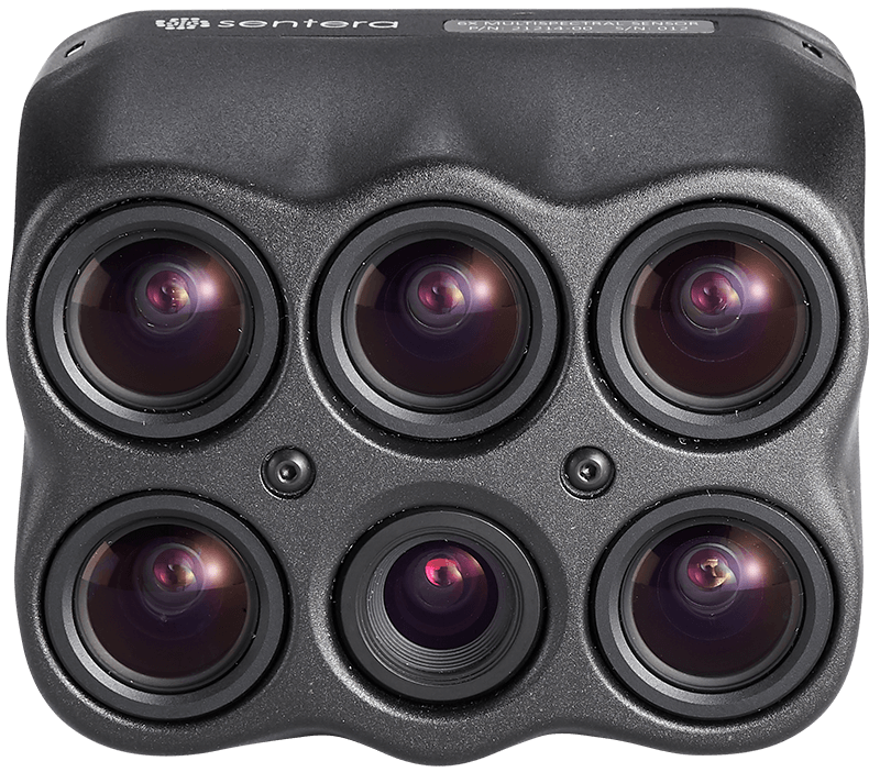
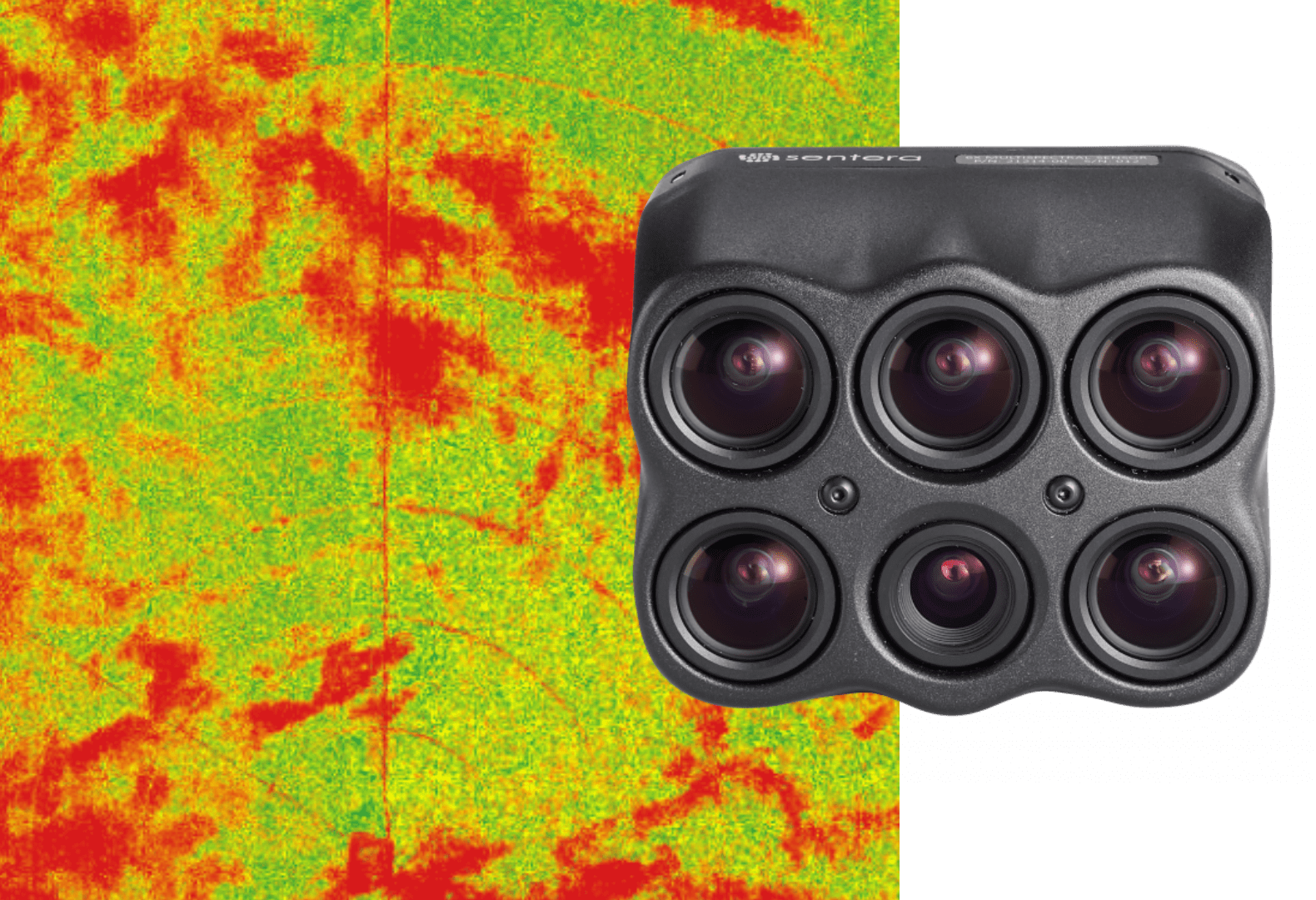
With eight channels of image data, Sentera’s 6X Multispectral and 6X Thermal sensors deliver fast-frame rate performance combined with high radiometric accuracy for more advanced imagery.
More Advanced Imagery with Radiometric Accuracy
Pair with radiometric calibration tools, like Sentera’s Calibrated Reflectance Panel and Light Sensor, to account for lighting varations; meaning you get accurate and reliable imagery.
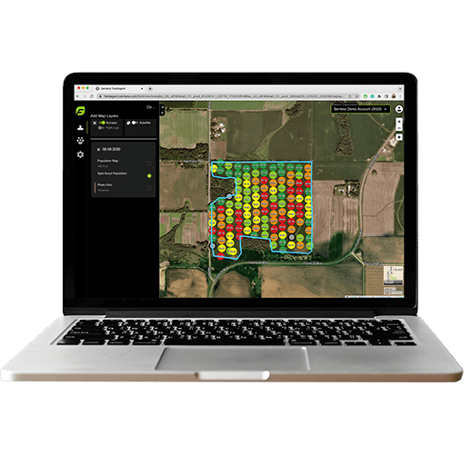
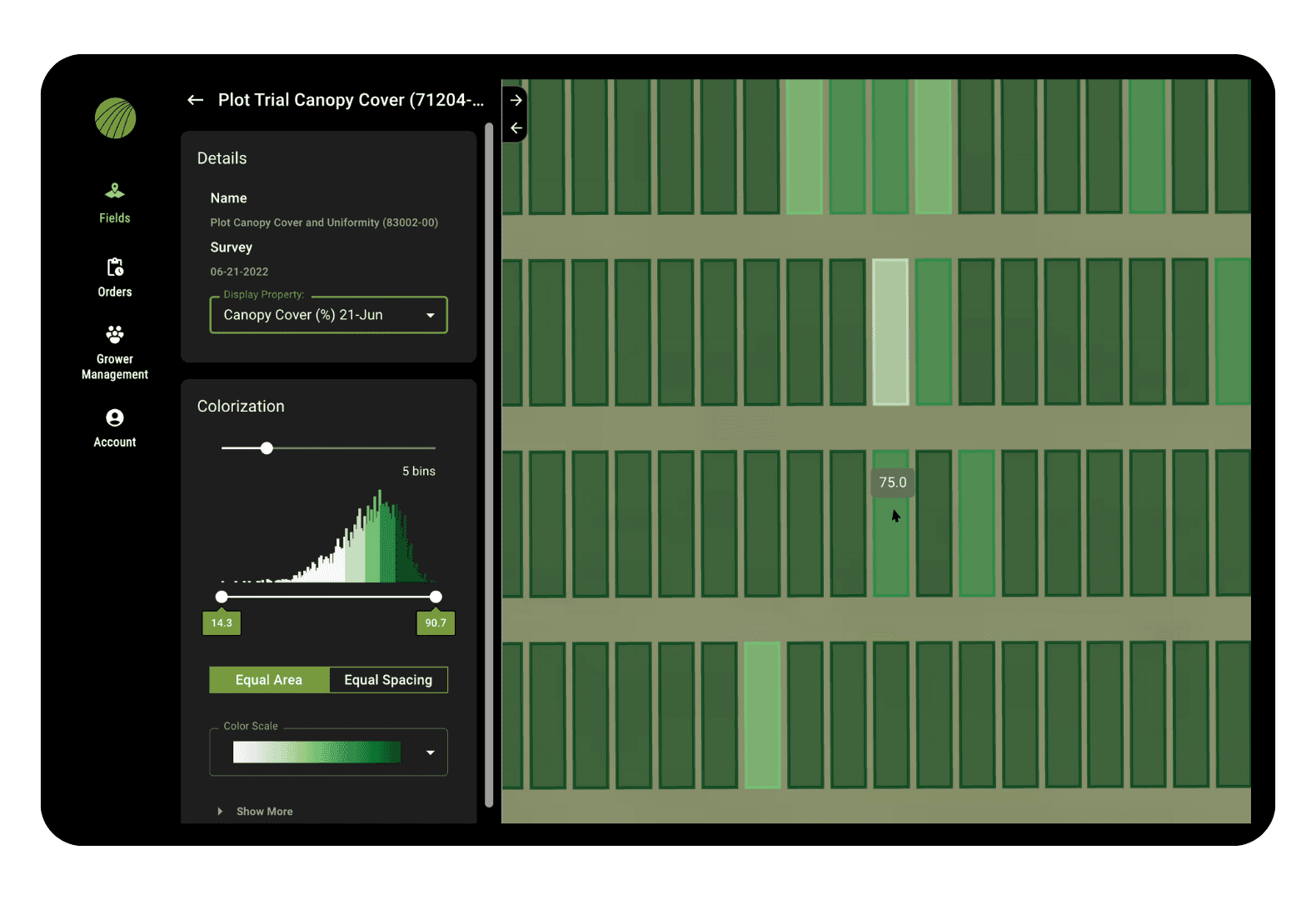
Plant-by-Plant Measurements, Delivered
From identifying crop health to informing trait selection and product development decisions, the 6X Sensor from Sentera delivers science-grade imagery with eight-channels of data to get insights down to the leaf.
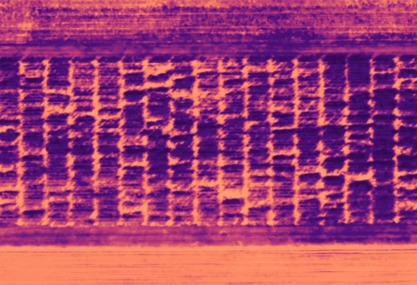
Pixel-Level Temperature Measurement
The 6X Thermal Sensor features a built-in 320 x 256 Boson® thermal sensor to deliver thermal accuracy of ±5°C and accurate thermal maps at a GSD of 17.7cm (7.0″) from 60m (200ft) flight altitude.
Key Specs for the Sentera 6X Sensors
6X Multispectral
6X Thermal
- HFOV: 47*
- GSD at 60m (200ft): 2.6cm (1.0")
- GSD at 121m (400ft): 5.2cm (2.0")
- HFOV: 47*
- GSD at 60m (200ft): 1.0cm (0.4")
- GSD at 121m (400ft): 2.0cm (0.8")
- HFOV: 47*
- GSD at 60m (200ft): 2.6cm (1.0")
- GSD at 121m (400ft): 5.2cm (2.0")
- HFOV: 47*
- GSD at 60m (200ft): 1.0cm (0.4")
- GSD at 121m (400ft): 2.0cm (0.8")
- HFOV: 50*
- Thermal Accuracy: +/- 5C
- Thermal Sensitivity:
- GSD at 60m (200ft): 17.7cm (7.0")
- GSD at 121m (400ft): 35.5cm (13.9")
- Blue: 475nm x 30 nm
- Green: 550nm x 20nm
- Red: 670 nm x 30 nm
- Red Edge: 715 nm x 10 nm
- NIR: 840 nm x 20 nm
- Green: 550nm x 20nm
- Red: 670 nm x 30 nm
- Red Edge: 715 nm x 10 nm
- NIR: 840 nm x 20 nm
- USB-C
- Gigabit Ethernet Optional
- Expansion Port
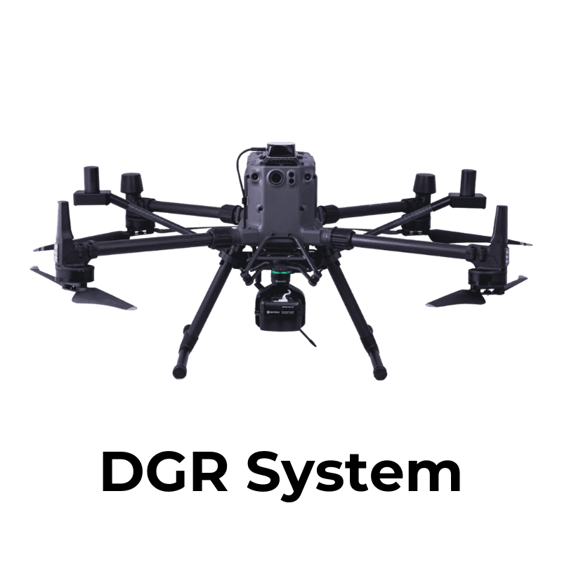
DJI Matrice Series
Freefly Astro
Compatible with Industry-leading Gimbal Options
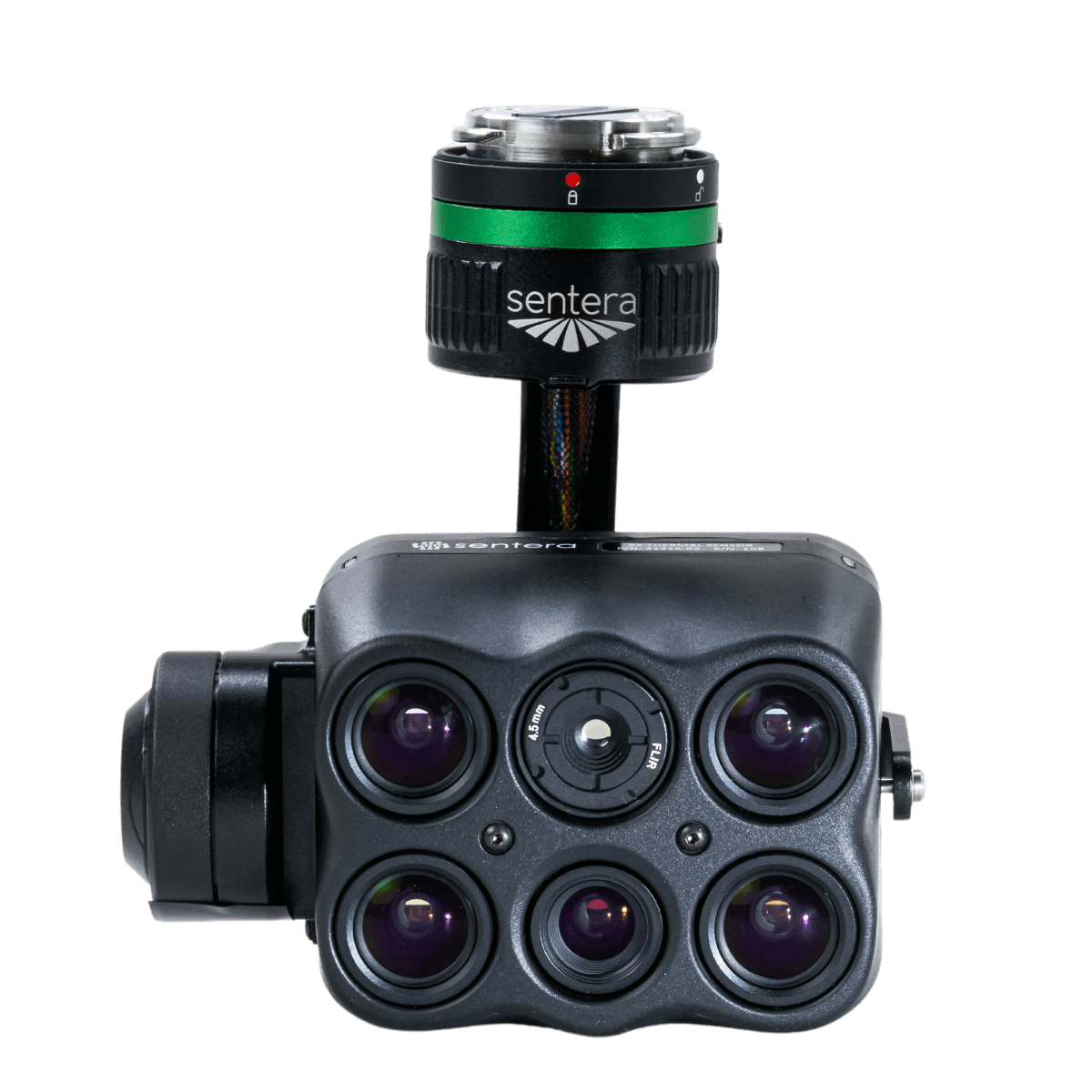
DJI Skyport
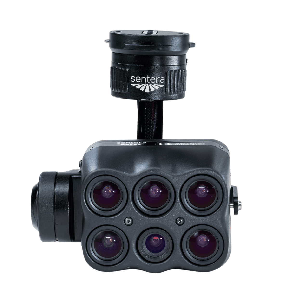
Gremsy Quick Release
Smart Dovetail
Download Sample Datasets

Raw images (already corrected images)
Zip folder – contains 6 folders (one for each sensor). Requires post-processing using Pix4D.
Derived indices full-resolution images
Zip folder – Contains 8 labeled full-resolution .tif files.
Clipped full-resolution 5-band Mosaic .tif < 1 GB
Direct download. Requires image viewing program that can open 5-layer geoTIFF such as QGIS/ArcGIS or an equivalent program.
Pre-colored GeoJPEGS
Zip folder – Contains 8 labeled full-resolution .jpeg files.
Clipped full-resolution RGB Mosaic .tif < 1 GB
Direct download. Requires image viewing program that can open 5-layer geoTIFF such as QGIS/ArcGIS or an equivalent program.
6X Thermal Mosaic Images
Zip folder – Contains 4 labeled full-resolution .tif files.
Your Expertise, Our Technology.
Let's build a data-driven solution to validate outcomes.

