
While we are in the heart of Stand Count season – at least here in the Midwest, USA – it means that this season is just starting to heat up, literally and figuratively. After a slow start, the USDA reports that things are starting to catch up and we are now in line with the average amount of corn planted over the past four years, and emergence is lagging just a percentage point behind.
And here at Sentera, our product and engineering teams have been hard at work to release new functionality and enhancements to drive a more productive FieldAgent experience, from the field’s edge to the office.
Take a look at some of our key highlights.
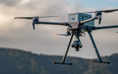
Terrain Informed Flight Planning
Now when using FieldAgent iOS to plan flights, fly your drone at varying altitudes, dependent on the terrain below. This adds uniformity to hilly areas or areas that may have large trees – adding more accuracy to aerial imagery.
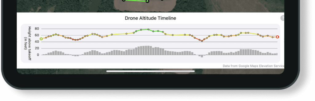
To use Terrain Informed Flight Planning, plan a mission as you normally would but toggle the Terrain Informed option before your drone takes off. It’s that easy!
Stitching Improvements
When a QuickTile doesn’t meet your needs, the Sentera team can publish a Mosiac – or a fully stitched image. For this season, we’re excited to announce several new enhancements to Stitching.
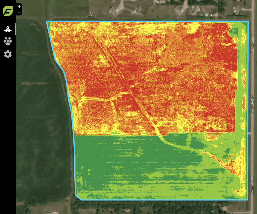
For one, we’ve made some improvements to our free Local Stitching that’s available on FieldAgent Desktop. Find more information about how to get the update here.
In addition, our Cloud Stitching service is faster than ever – meaning that you get timely insights to make critical decisions. To complement these enhancements (and also new this season), we’ve launched an option for customers to purchase Unlimited Stitching, which gives them the opportunity to create as many Mosaics as they need. (Need help getting set up with Unlimited Stitching? Contact us.)
Real-time Mapping
With Real-time Mapping, get a glimpse of what’s happening in the field at the field’s edge while your drone is still in flight – helping you uncover key problem areas faster and identify key areas to scout.
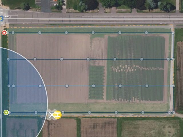
Upon planning a flight, turn on Real-time Maping and fly your drone. It will automatically populate on the map and uncover key areas for you to focus attention. Bonus? You can even opt to share after the flight.
Grower Management via Climate FieldView
Our integration with Climate FieldView has been advanced to include the opportunity to easily manage growers and field-level data right in FieldAgent.
Agronomists can now invite growers to FieldAgent to capture key information, like creating a crop season and transferring planting activities. Get planting data and key notifications, including growth stage, weather, and disease.
With this data, offer better guidance to growers by having essential details at their fingertips aligned with the insights and analytics from FieldAgent.
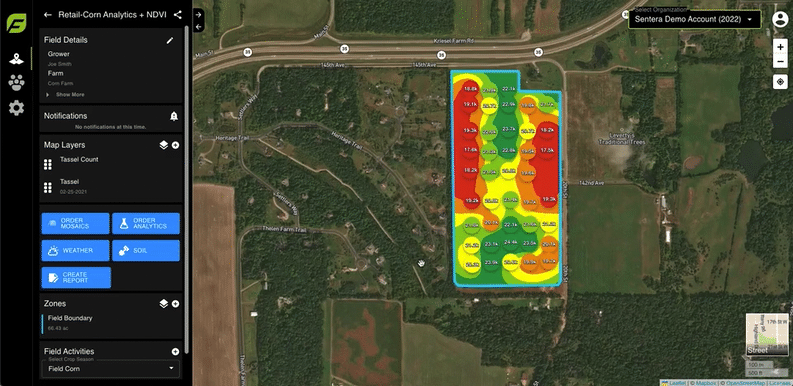
FieldAgent Web Reports
To make it even easier to add value to grower engagements, FieldAgent Web now includes reporting! Quickly spin up a report in just a few clicks to showcase visual imagery, add notes, and include a summary.
Create brand continuity by including your logo and export as a PDF so you can easily print and put in the hands of your grower to provide data-driven insights to performance, whether its Stand Count, Tassel Count, or all the points in between.
Plus, we’ve added some enhancements to make the platform more user friendly and continue to evolve FieldAgent to the next level. For instance, one of our more recent releases allows you to order upon import when using FieldAgent Desktop. It doesn’t get better than that!
 .
.
0 Comments