Delivering Proven ROI & Immediate Value
Decrease flight time by 60%

Capture 9x fewer images

Eliminate post-processing

Get data
5x faster
Pair with our Science-Grade Multispectral Sensors
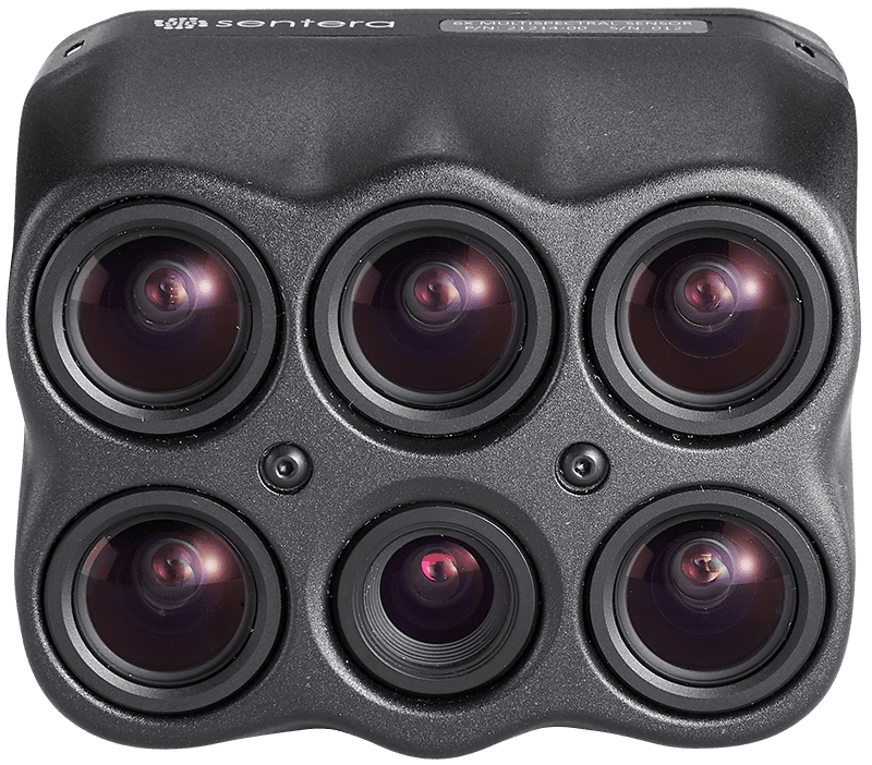
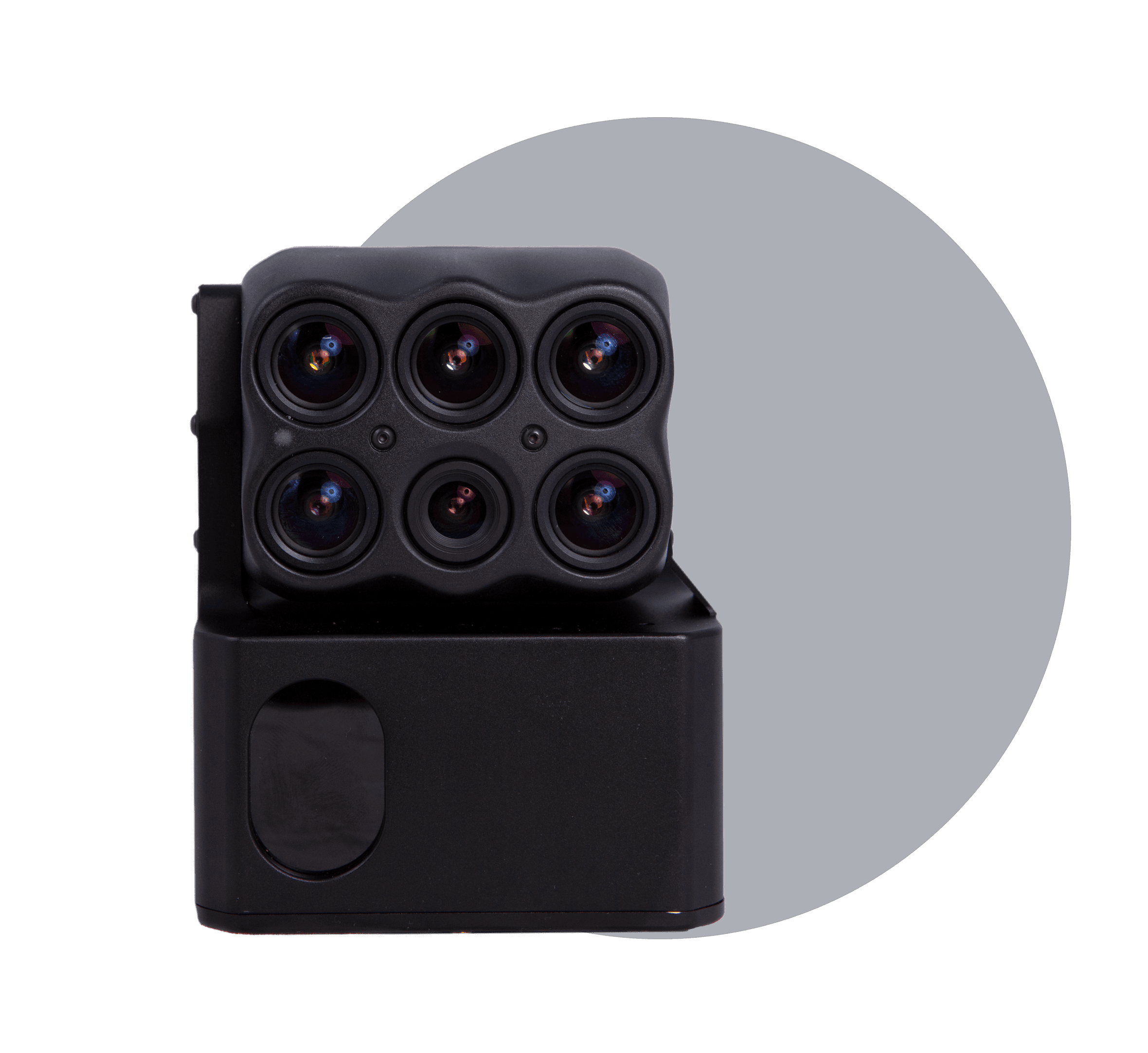
6X Multispectral
Science-grade multispectral imagery with fast-frame rate performance combined with high radiometric accuracy for more advanced imagery.
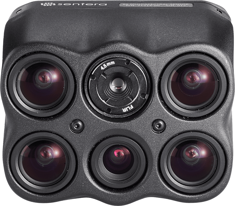
6X Thermal
Extend optics with pixel-level temperature measurement across all imagery, delivers even more precise insights to power critical decisions.
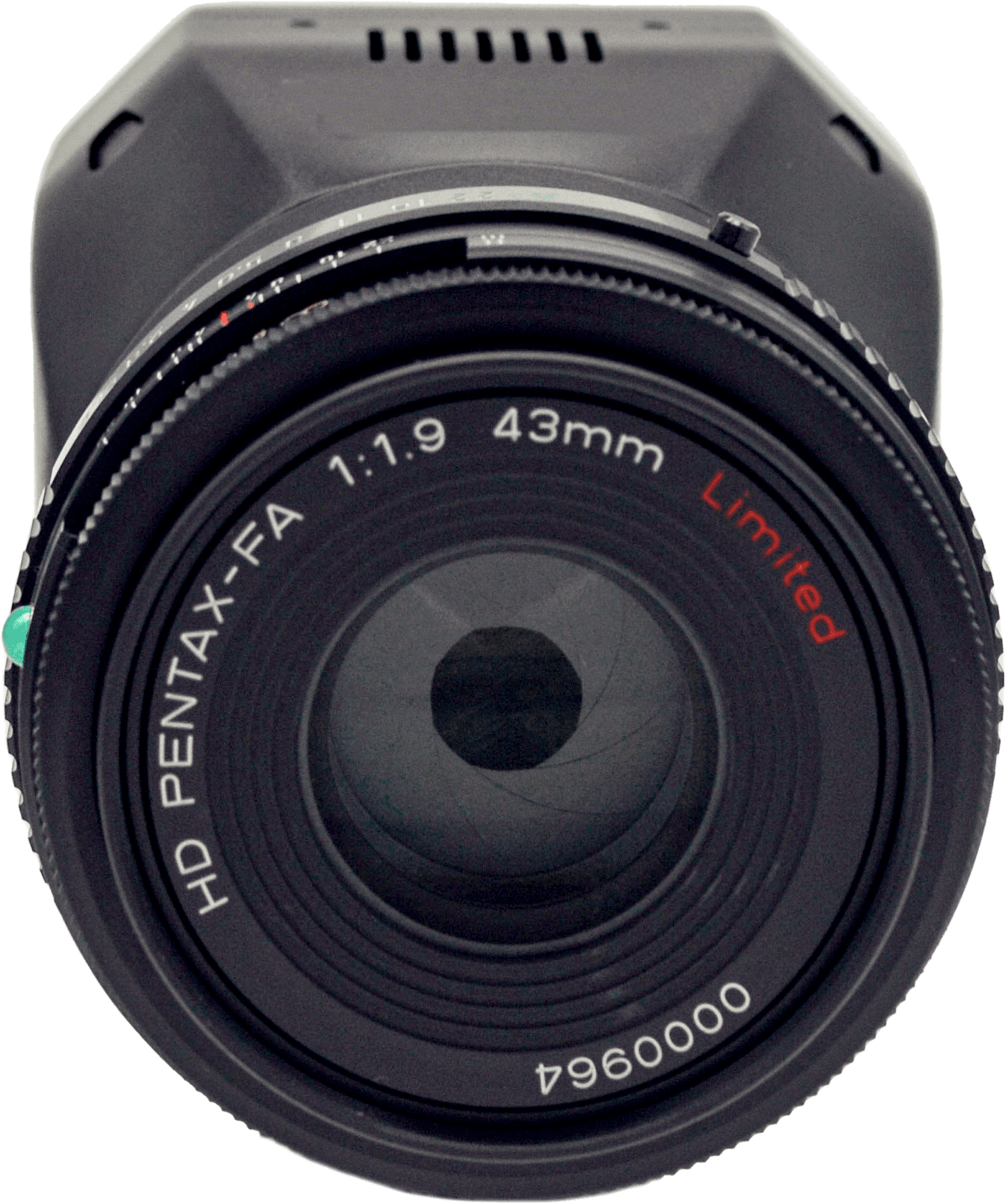
65R
Get sharper imagery with the ultra-high-resolution aerial sensor purpose-built for seamless drone integration.
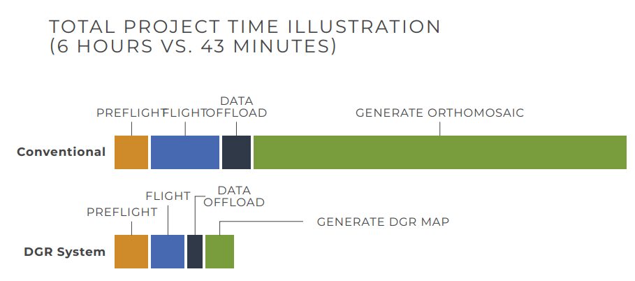
Cut Project Time by 8x
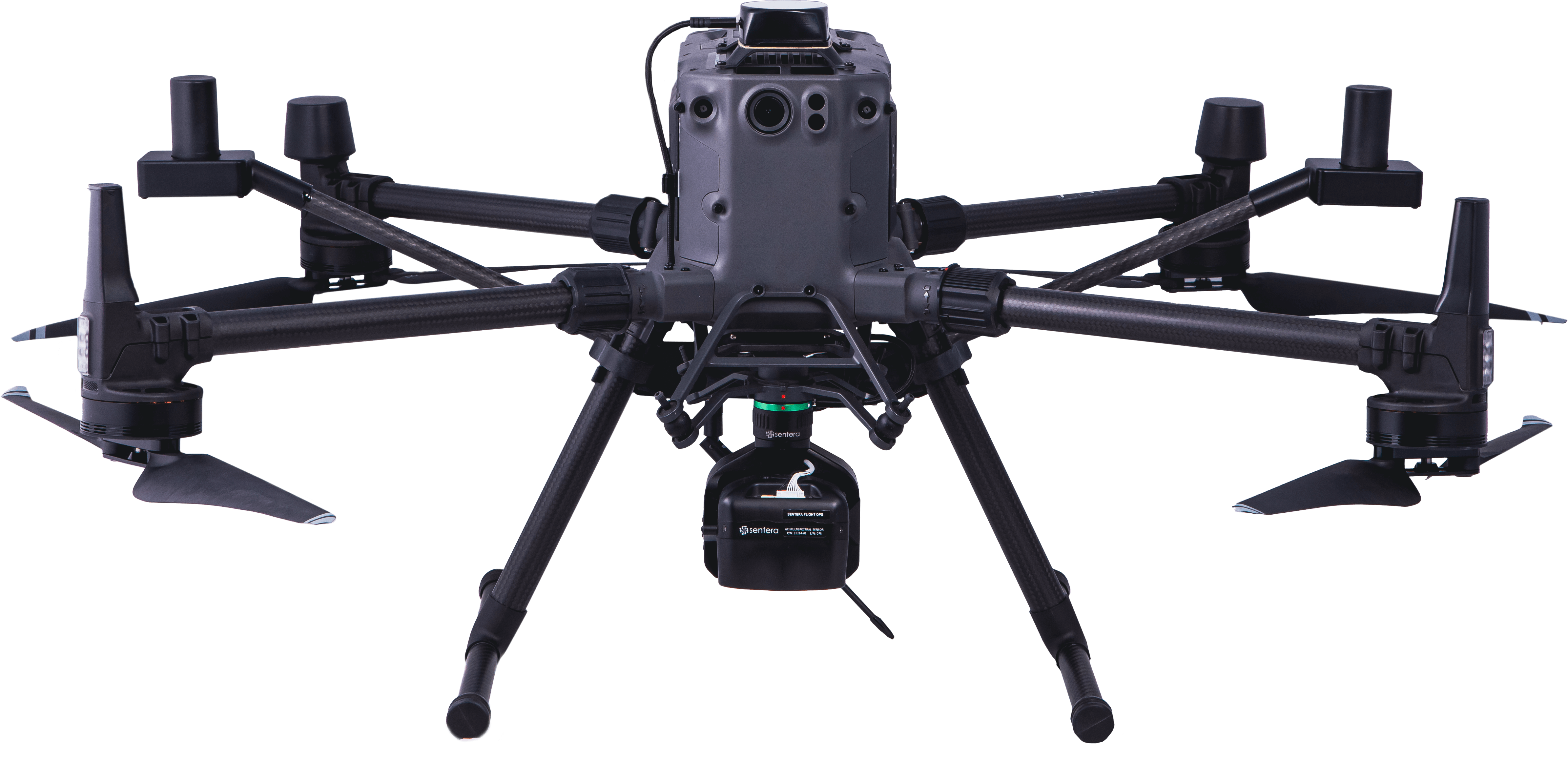
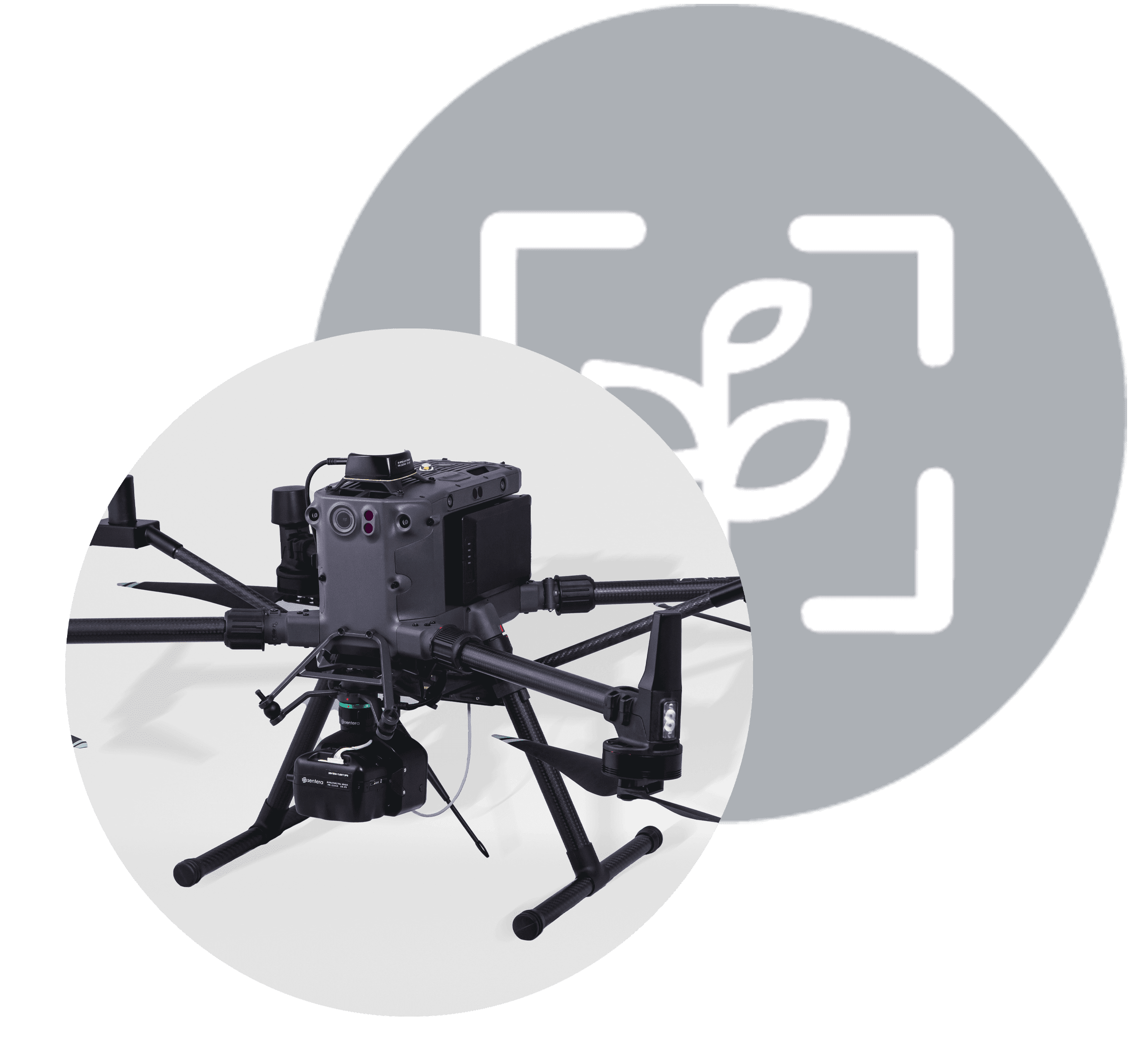
Designed for precision and efficiency, the DGR System streamlines workflows so you can focus on what matters most — making critical decisions.
Capture Data More Efficiently
From pre-flight planning to in-the-air image capture to post-processing, the Sentera DGR System increases efficiency and reduces total project time by nearly 90%

Say Goodbye to Stitched Mosaics
With precision geolocation images, get spatially accurate maps in real-time right at the field’s edge – so you can skip stitching and start analyzing at the field’s edge.
Get Detailed Analytics
The Sentera DGR System seamlessly integrates with our 6X Sensors, designed to capture detailed multispectral imagery that’s translated into precise crop health and performance measurements.
DGR Sample Data Sets
Small Plot Corn

DGR System with 65R
DGR System with 6X
Real-World Field Analysis Example
| CONVENTIONAL | DGR SYSTEM | |
| Acres | 150 | 150 |
| Altitude | 120 M | 120 M |
| Flight Time | 45 minutes | 17.5 minutes |
| Image Captures | 1,115 | 129 |
| Data Volume | 29.0 GB | 3.4 GB |
| Post-Processing Time | 5 hours | 10 minutes |
| Total Project Time | 6 hours | 43 minutes |
Discover how Sentera can help you make
critical decisions
Stay in the Know

Sentera Launches Integration with Inspired Flight
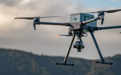
Sentera today announced that it has partnered with Inspired Flight to Integrate the 6X and 65R sensors with their drone systems.
Sustainable Agriculture: Remote Sensing for Optimum Nitrogen Use
When it comes to sustainable agriculture, technology plays a large role. Read how leveraging remote sensing technologies can transform nitrogen use.
Sentera Sensors Now Compatible with Gremsy Quick Release
Today Sentera announced that its 65R and 6X sensors are compatible with the Gremsy Quick Release. This means that these industry-leading sensors are compatible with more drone systems.

