DATA & ANALYTICS
Plant-level measurements, at scale
OUR SOLUTIONS
Validating Outcomes with Precision

Machine Learning Tuned for Ag
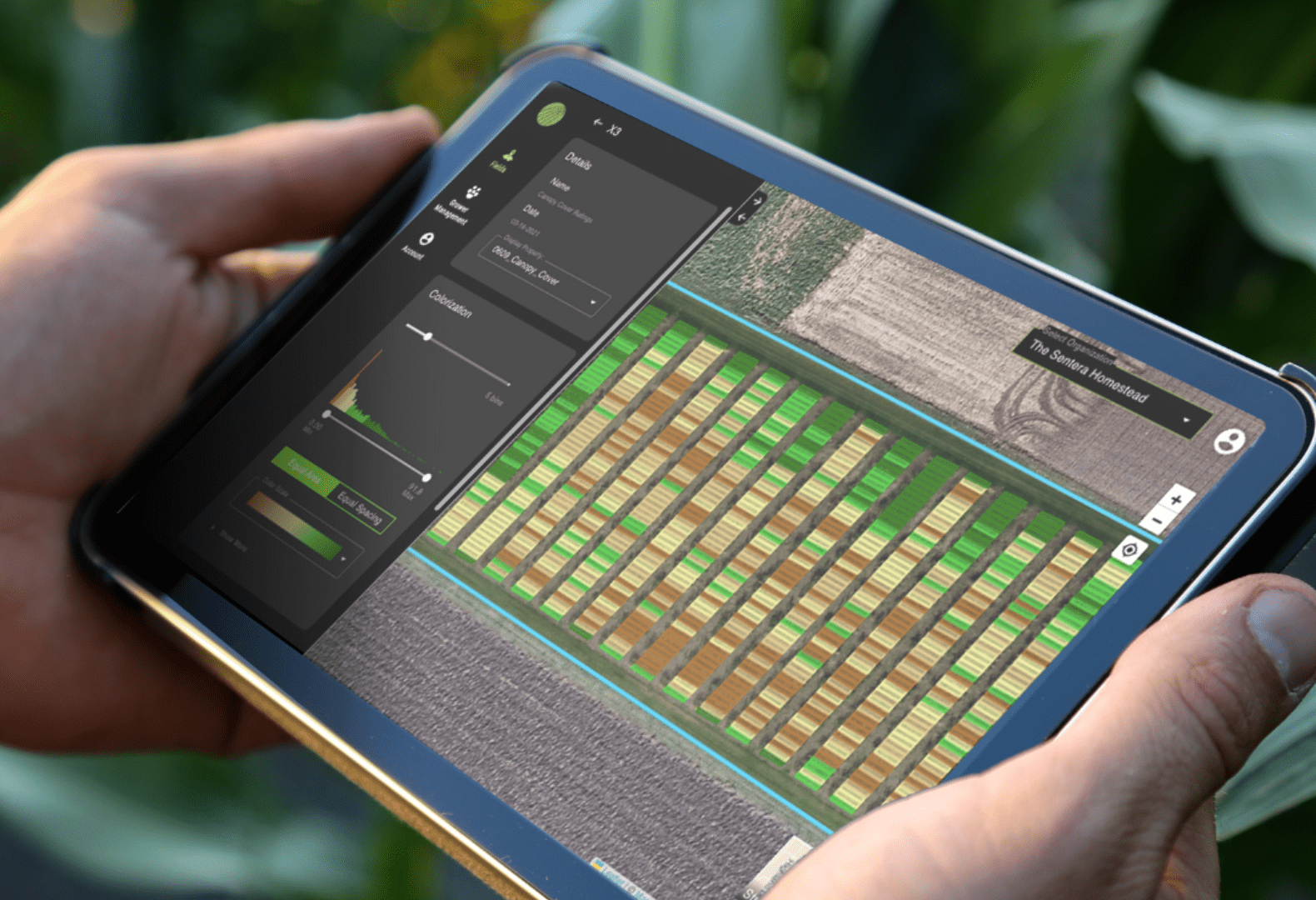
With machine learning models built for agriculture, get accurate and precise insights from your aerial imagery.
Precise and Accurate Analytics for R&D
From standardized data collection to reliable processes, get plant-level measurements to inform critical decisions for research and product development.


Ag Modeling for Deeper Analysis
Build a retrospective analysis using historical data, or get real-time predictions or forecasts as new data becomes available.
Data and analytics for your unique use case
Ag Modeling
Build a model with your data to understand crop maturity date, nutrient status, or yield and quality.
![]()
Crop Area
Get measurements and delineation of crop area within a field to undersatnd precise boundaries.
![]()
Crop Height
Measure canopy height and detect areas of damaged crop canopy for corn, soybean, cotton, canola/OSR, and small grain.
![]()
Maturity Date
Detemine the timing of crop maturity based of senescence of crop canopy cover
![]()
Tassel Count
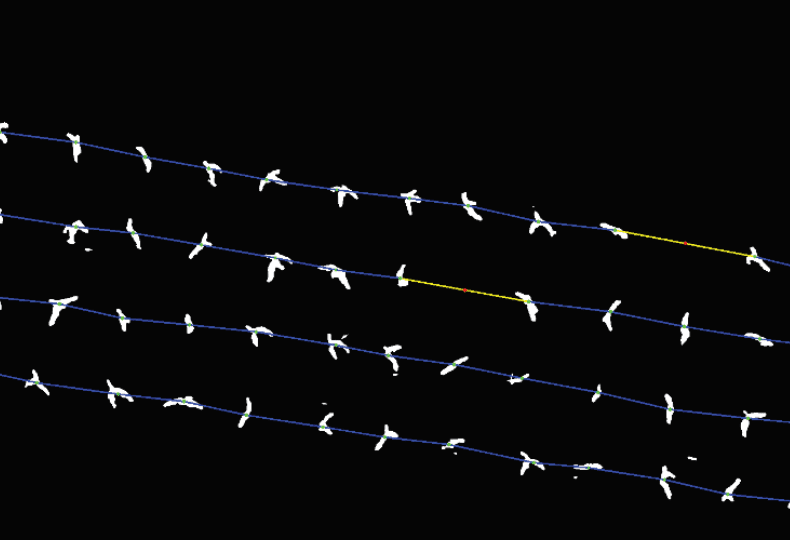
Ensure seed production purity standards and production goals are met across every acre for corn and male/female corn crop production.
![]()
Anomaly Detection
Identify anomalous plots due to within-plot and between-plot spatial varaibilty.
![]()
Crop Damage
Detect the extent, and measure the area, of crop damage due to weather or other events.
Elevation & Hydrology
Model how water will flow within the field, helping direct critical decisions about water management strategies
![]()
Residue Cover
Quantify the extent and fraction of residue covering bare soil prior to crop planting or following crop harvest.
![]()
Weed Detection
Reduce post-emergent herbicide use by up to 70% with a precision weed control solution.
Canopy Cover
Quantify the fraction and uniformity of green vegetation across every acre and every plot for corn, soybean, cotton, canola/OSR, and small grain.
![]()
Crop Health
Quantify the effects of products and treatments across all acres and plots throughout the entire season for corn, soybean, cotton, canola/OSR, and small grain.
![]()
Flower Cover
Quantify the fraction and uniformity of flower cover across every acre and every plot for cotton and canola/OSR.
![]()
Stand Count
Quantify crop emergence and uniformity across every acre and every plot for corn, male/female corn, soybean, cotton, and canola/OSR.
![]()
Yield Potential
Characterize the relative yield potential based on multispectral crop health.
![]()
Standardized, repeatable data collection

You Fly, We Fly
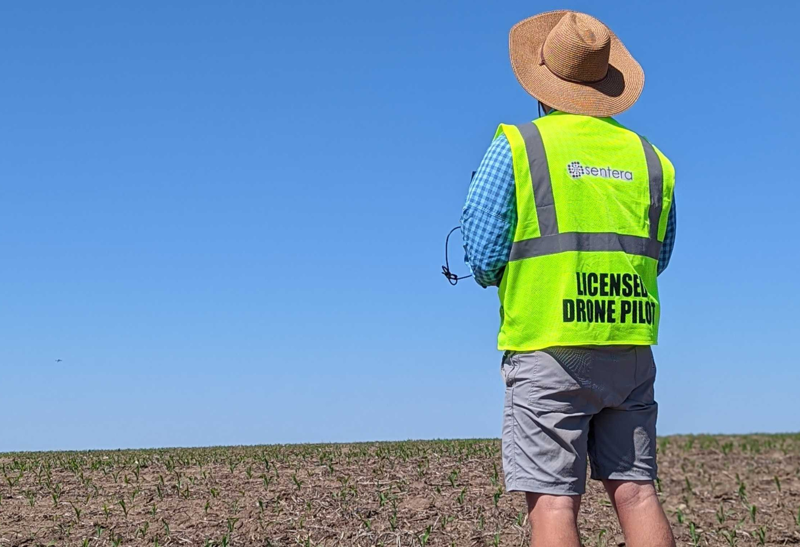
Capture your data with one of our award-winning drone systems or hire our team of Flight Services pilots, available to capture. yourdata where and when you need it.
Hear From Our Customers
Your Expertise, Our Technology.
Let's build a data-driven solution to validate outcomes.


