

What is the 65R Sensor?
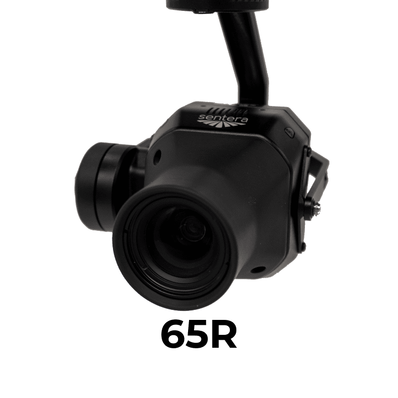
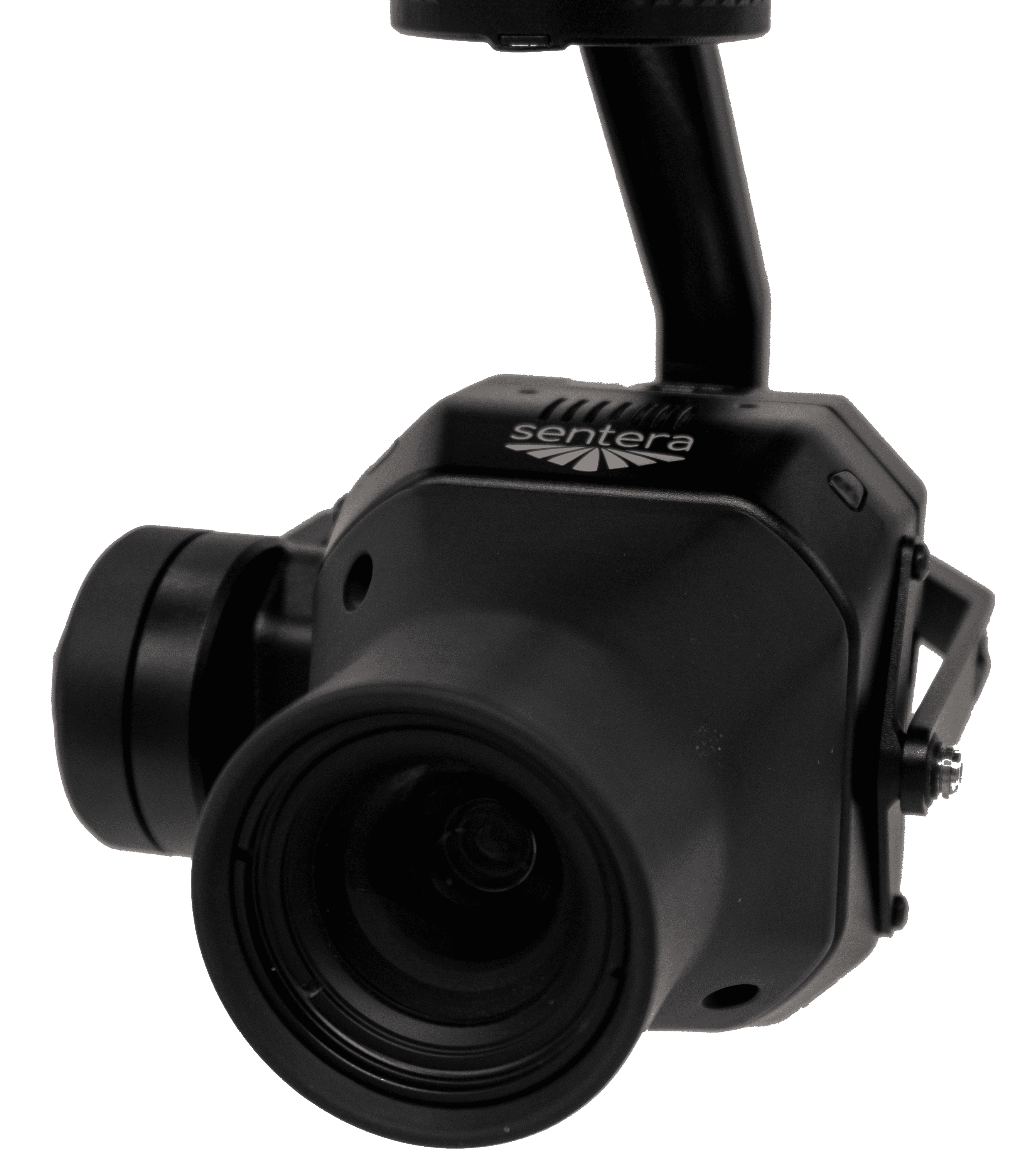
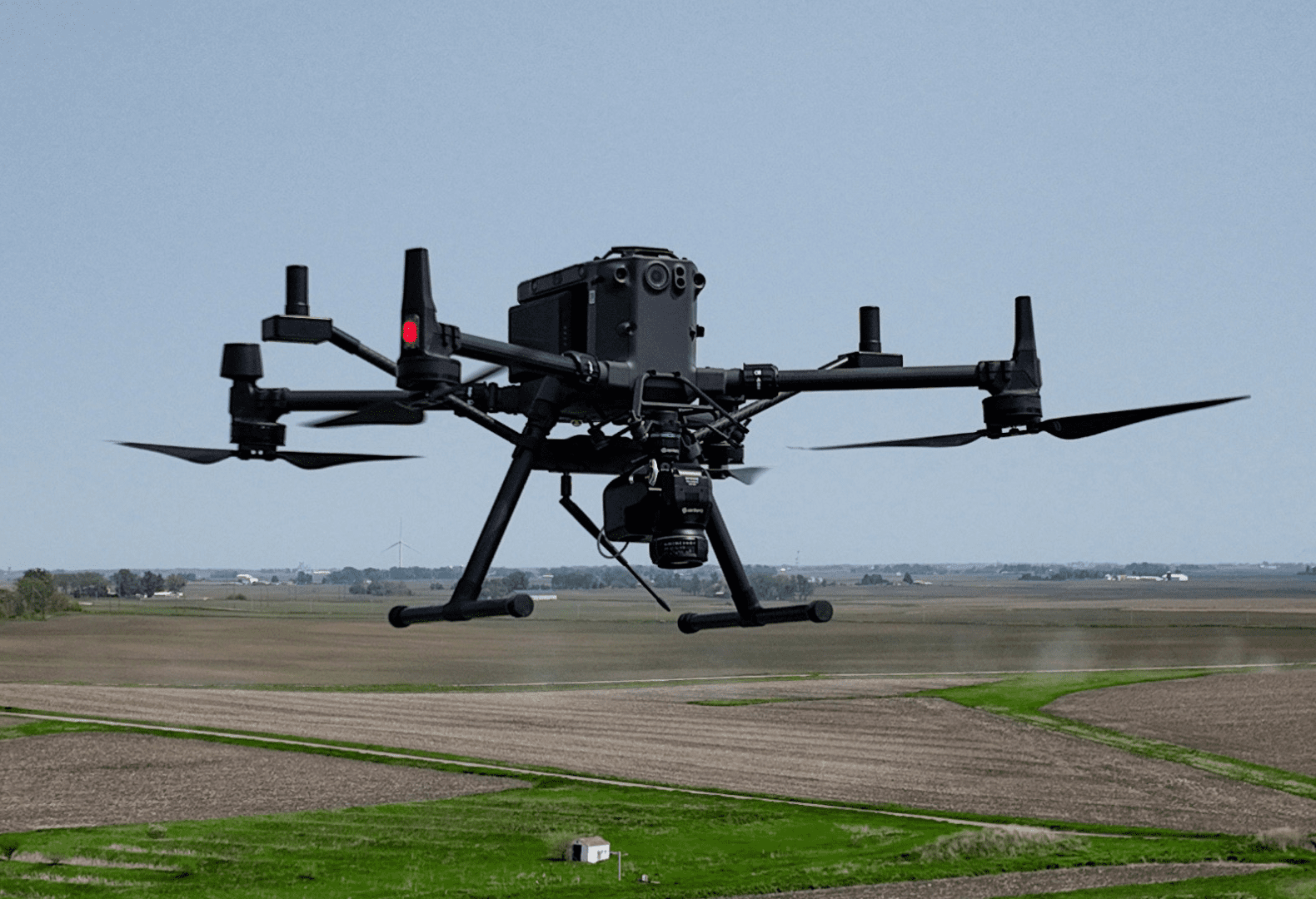
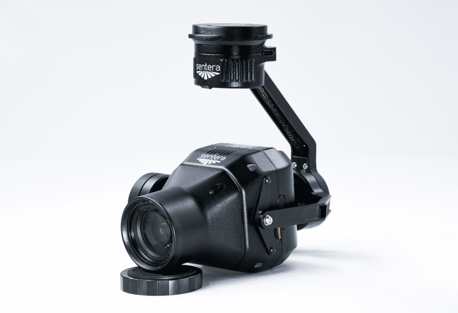
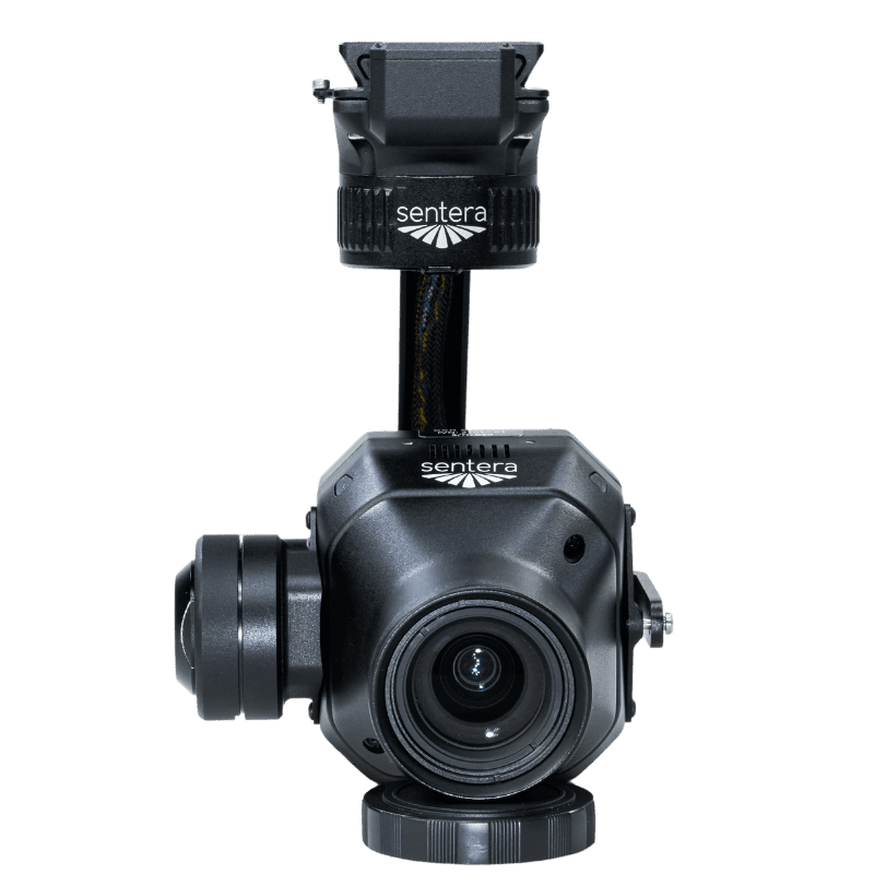
The Sentera 65R is the first ultra-high-resolution precision sensor built from the ground up for seamless integration with drone systems, including RTK systems.
More Pixels Per Image, Captured Faster
With a ground sampling distance of 0.45cm/pixel, improve efficiency and reduce errors by capturing more pixels per image; meaning you can capture more ground significantly faster than any other camera on the market.
Purpose-built for seamless Drone integration
Our engineers and technical team built the 65R with one thing in mind: easy integration with drones for ultra-high-resolution aerial image capture to inform critical decisions for survey and mapping use cases.
Optimal Data Output for Your Use case
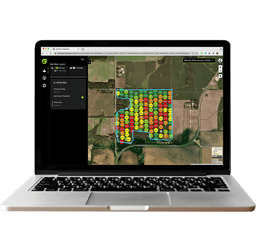
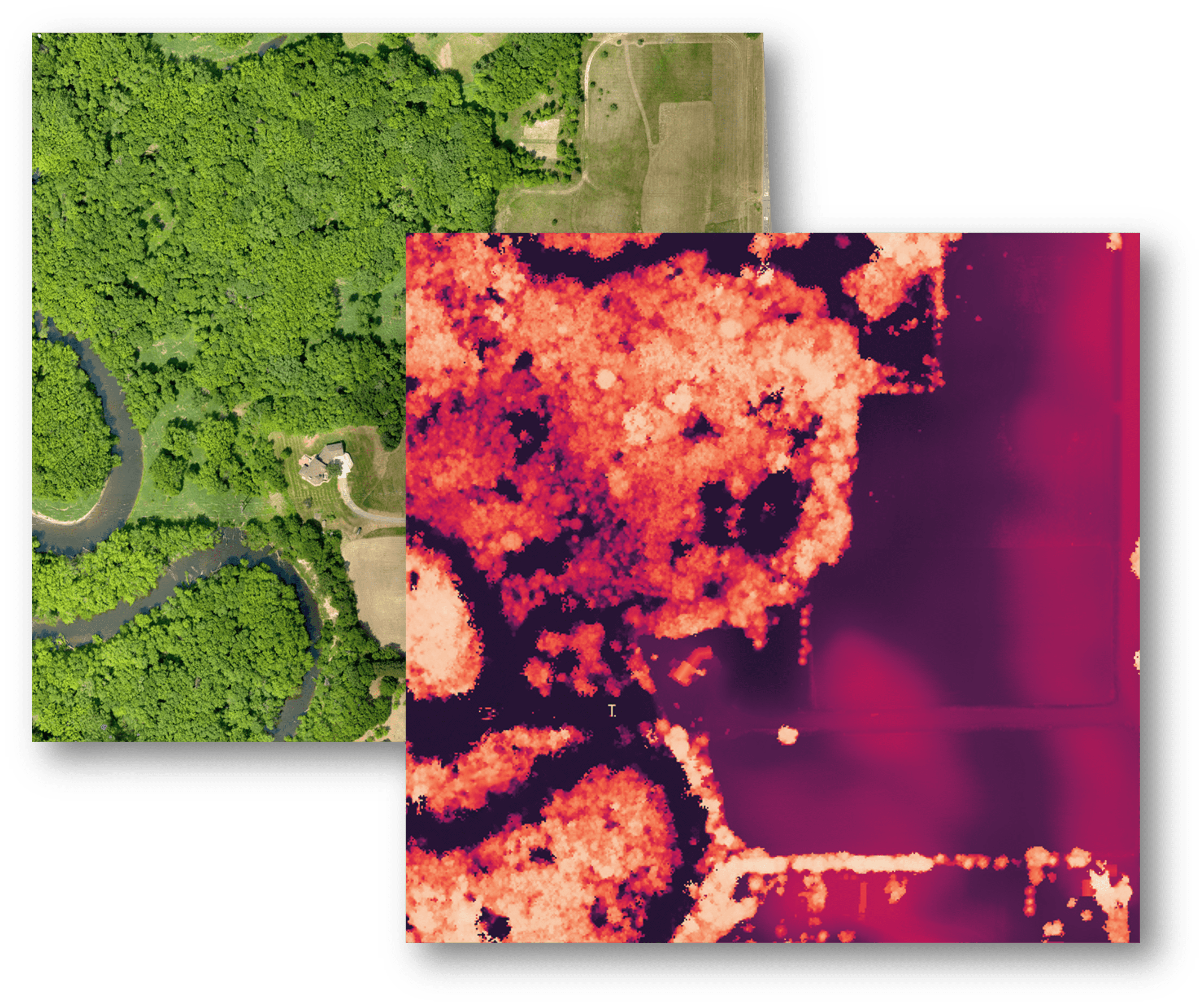
From an RGB mosaic to a detailed digital surface model (DSM) and deep analytics, easily generate the data you need for your unique use case, whether for surveying, modeling, or mapping.
Key Specs for the Sentera 65R Sensor
Resolution: 9344 x 7000
- HFOV: 57.6* x 44.8*
- GSD @ 38m (125 ft): 0.45cm
- GSD @ 120m (200 ft): 1.43cm
- Focal Length: 27mm
- USB-C
- Gigabit Ethernet
- UART
- Digital I/O
Input Pulse/PWM for Image Capture
Input Pulse Per Second (PPS) for Time/Position - Sync
Output Pulse for Image Exposure Sync
- Integrated IMU
- Pushbutton Trigger Option
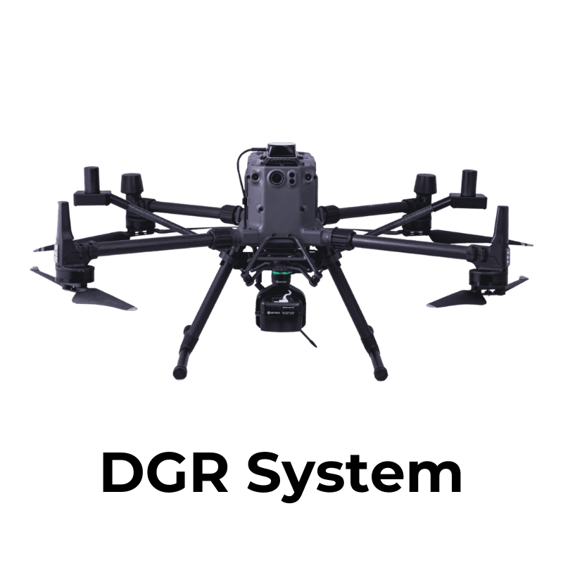
- DJI Matrice Series
- Freefly Astro
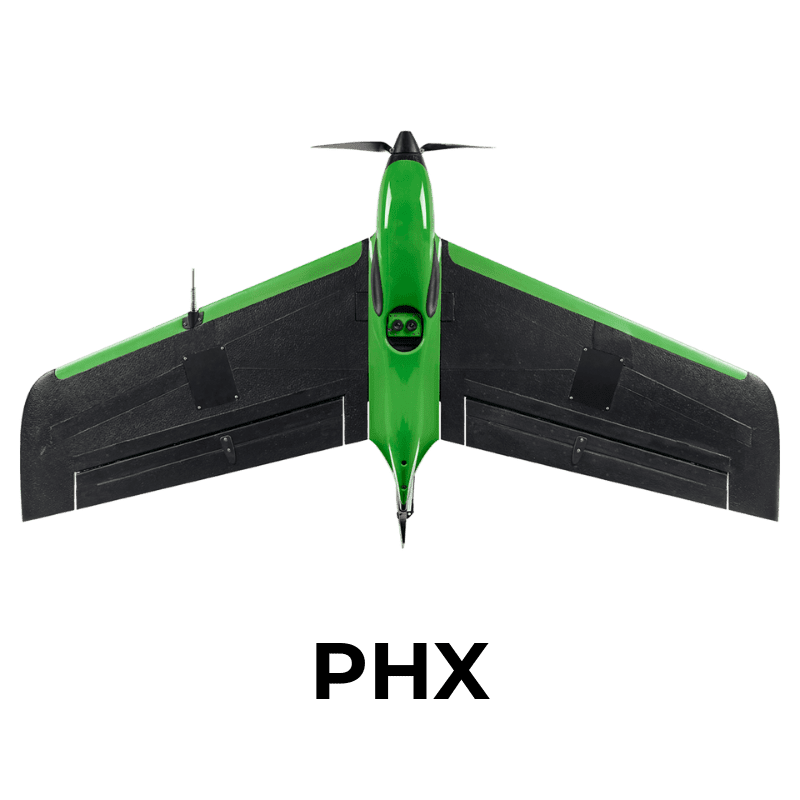
- Sentera PHX
Compatible with Industry-leading Gimbal Options
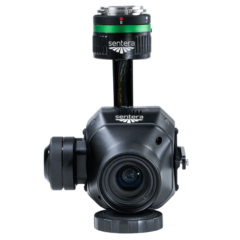
DJI Skyport
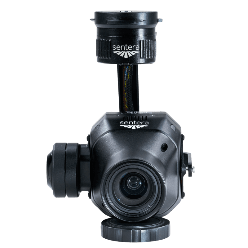
Gremsy Quick Release
Smart Dovetail
Download Sample Datasets
Get a preview of the ultra-high-resolution aerial imagery you can capture with the 65R
Sample Data Subset
Full Orthomosaic
Full Data Set
Elevate Your Farming Practices
with Precision Insight
Get started today and unlock the full potential
of your farm with our precision ag solutions.

