Profit from Precision
Insights for Timely and Informed Actions

Empowering Precision Agriculture
At Sentera, we are at the forefront of precision agriculture technology. Our mission is to accelerate the adoption of innovative, scalable solutions that transform farming.
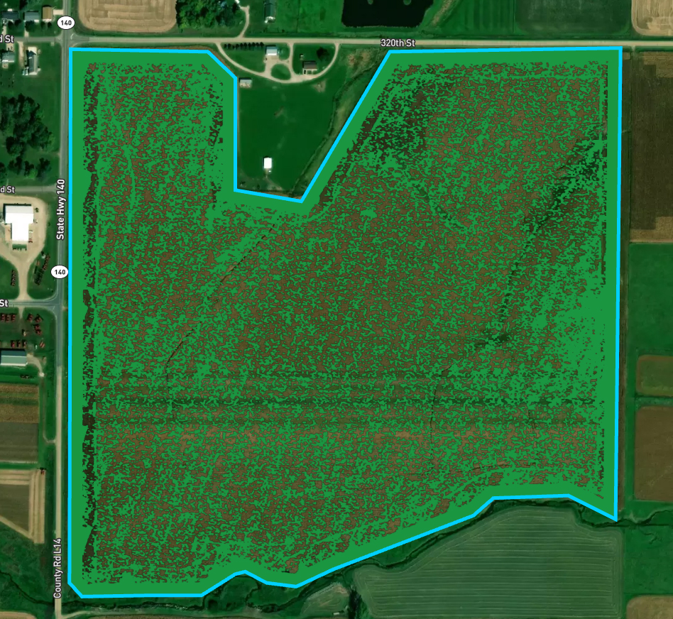
By harnessing the power of high-resolution imagery, AI, advanced data science, and state-of-the-art hardware, we provide farmers with precise, plant-level insights. These insights arrive just in time to inform crucial on-farm decisions, significantly boosting both efficiency and profitability.
Discover how Sentera’s cutting-edge technologies can revolutionize your agricultural practices, leading to smarter, more sustainable farming.
Insights Before
Action
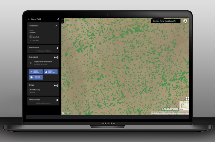
Make informed decisions with confidence. Sentera is committed to providing detailed, insights that empower farmers to act decisively and with confidence. Our solutions are designed to deliver critical data ahead of key agronomic decisions, ensuring that every action you take is backed by the most accurate and timely information available. With Sentera, be proactive, not reactive.
Scalable Precision for Every Acre
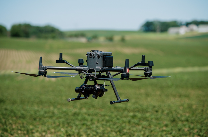
Unlock the full potential of every acre with Sentera’s scalable precision agriculture solutions. Tailored to meet the demands of any farm size, our technology ensures that every field receives optimal care and management. Experience affordable precision ag that grows with you, transforming your agricultural practice into a more profitable and sustainable operation.
Accelerating Innovation with Trusted Partners
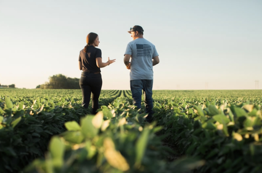
At Sentera, we believe in the power of collaboration. By forging strong partnerships in the precision agriculture industry, we accelerate innovation and time to market, and deliver solutions through distribution channels that growers know and trust. Our trusted network of partners enhances our capabilities, allowing us to offer cutting-edge, reliable solutions that set new standards in farm management practices.
Powered by Advanced
Sensing Solutions
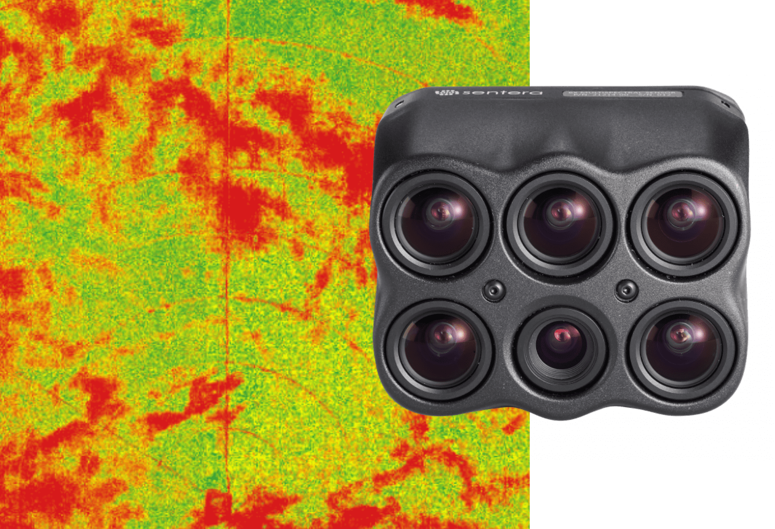
Sentera offers a comprehensive suite of sensors, ranging from cutting-edge multispectral sensors to high-resolution cameras, ensuring unmatched accuracy and performance. Our sensors are designed to seamlessly capture both standard and advanced wavebands, facilitating sophisticated vegetation applications and analysis.
Elevate Your Farming Practices with Precision Insight.
Get started today and unlock full potential of your Farm with our precision ag solutions.
.
