Maximize Outcomes with Precision Insights
Revolutionizing Crop Imaging and Analysis
Unlock Crop Insights
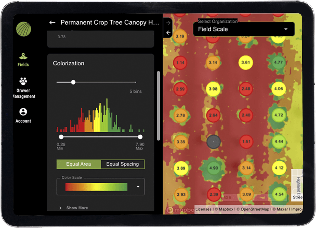
FieldAgent is Sentera’s web, mobile and desktop application to deliver in-season field insights and enable better decision-making. It offers advanced agronomic analytics packages for farmers, retailers, and enterprise customers to gather key crop insights.
Advanced Field Insights with Crop and Field Imaging
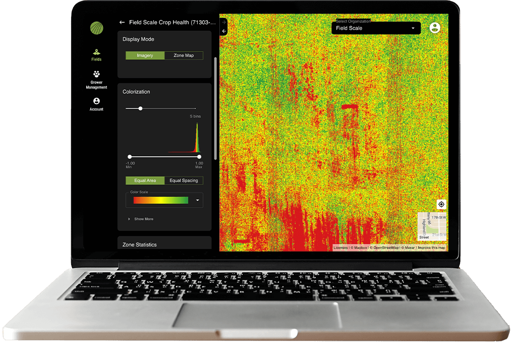
Unlock the full potential of your fields with unlimited high-resolution RGB, multispectral, and crop health mosaics. Our detailed elevation maps provide crucial topographical insights, aiding in better irrigation and land management. Enhance crop health, boost yield, and optimize farming operations with our advanced imaging tools.
Seamlessly Track Development with Crop Monitoring
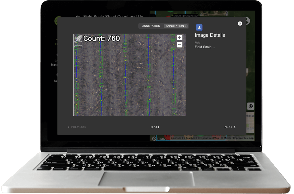
Effortlessly track plant populations and monitor crop development to optimize yields and improve decision-making with stand and tassel counts, NDVI and crop health insights. Enhance your efficiency with accurate data on every plant in the field.
Precise and Accurate Plot and Production Analytics for R&D
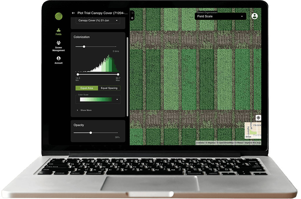
From standardized data collection to reliable processes, get plant-level measurements to inform critical decisions for research and product development with insights into canopy cover, height, anomalies and digital phenotyping.
FieldAgent Packages
| Features | Scout | Advisor | Enterprise |
|---|---|---|---|
| Field Management |  |
 |
 |
| Field Sharing |  |
 |
 |
| Zone Analysis |  |
 |
 |
| Area Measurement |  |
 |
 |
| Crop/Vegetation Health Measurement |  |
 |
 |
| Drone Flight Planning |  |
 |
 |
| Satellite Imagery |  |
 |
 |
| Report Creation |  |
 |
 |
| Standard Format Data Export |  |
 |
 |
| Unlimited RGB Mosaics |  |
 |
 |
| Unlimited Multispectral Mosaics |  |
 |
 |
| Unlimited Crop Health Mosaics |  |
 |
 |
| Unlimited Elevation Maps |  |
 |
 |
| Unlimited Stand Count |  |
 |
|
| Unlimited Tassel Count |  |
 |
|
| Research Plot Analytics |  |
||
| Seed Production Analytics |  |
||
| API Integrations |  |
||
| Ground Control Points |  |
||
| Access to Full Analytics Catalogue 🔗 |  |
||
| Annual Plans | $1,000 Buy now | $1,500 Buy now | Contact Us |
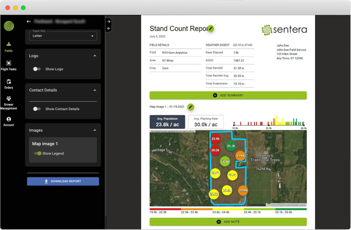
Generate and Export Detailed Reports
In just a few clicks, generate reports that capture imagery, notes, and historical data points for easy reference. Need faster analysis? Export it into your preferred format.
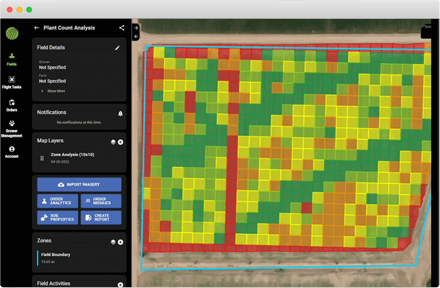
Zone Management Insights
Analyze distinct zones on maps, to get detailed insights into crop health and variability for better-informed decisions in the field.

Drone Flight
Planning
Plan drone flights in advance for automated flying including altitude and where to take photos of areas of interest in the field.
