Aerial imagery has come a long ways since the first image was captured in 1858 from a hot air balloon in Paris.
While aircraft has significantly transformed since then, among the most noticeable advancements are within drones (we may be biased, however). Until the 1980s, drones were predominantly used by military groups and didn’t have a place among industry or consumers.
The 21st century brought some smaller, more nimble drones, which made them more palatable for personal and professional use; and in recent years, technological advancements – like drone-specific sensors – in industry have given drones a solid footing in several industries.
Of course, we’re most interested in looking at what this means for the agriculture industry. Modern-day drone systems have made remote sensing commonplace; making it easy for researchers, product developers, and growers to get essential insights to crop health and performance that previously were only available via spot scouting in the field.
This evolution has resulted in purpose-built sensors for drone technology. This has several benefits for drones; particularly those in agriculture.
1. Better Ag Drone Performance

More isn’t always better, particularly when it comes to the size and weight of the onboard camera. When drones were first becoming available for personal and professional use, adding cameras required a bit of a do-it-yourself approach. This meant that standard cameras were often used; and that resulted in too much weight for the smaller drones. The result? Slower flights and drained batteries.
The past decade and a half has brought sensors purpose-built for drone technology, and in doing so, it has immensely helped with efficiency. From an agronomic perspective, this equates to drones being able to fly more acres, faster, so you can fly more in the same amount of time.
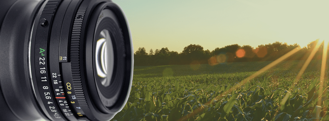
Today, sensors designed for seamless integration with drones can weigh less than even one pound. The Sentera 65R, for instance, comes in at a whopping 405 grams – or 0.89 pounds.
2. Faster Data Capture

Unequivocally, better drone performance ties into faster data capture, but advancements in sensor technology goes beyond that.
Ground sample distance, commonly referred to GSD in the UAV world, refers to the distance between pixel centers on the ground. Satellite imagery used for remote sensing is often captured at a 10 meter GSD, which means that adjacent pixel image locations are 10 meters apart on the ground.
With a lower ground sampling distance, you can capture more pixels per image, which results in the need for less images to create a comprehensive visual map of the area.
The 0.3cm/pixel ground sample distance for the Sentera 65R improves overall efficiency and reduces errors because of the ability to capture more data in less time.
3. More Precise, Accurate Aerial Data

The first Normalized difference vegetation index (NDVI) for vegetative mapping was from the launch of the first Earth Resources Technology Satellite (ERTS), which is known today as Landsat 1.
NDVI depicts how light reflects off plants, which does so at different wavelengths depending on the health of the plant. As noted above, satellite imagery provides a good indication of what’s happening, but the quality can often be lacking because of the GSD.
Capturing NDVI or other multispectral indices like NDRE via a drone sensor can result in more precise, accurate aerial data by delivering more images that can be stitched together to create an orthomosaic.
And, when working with a partner like Sentera, these images can also be translated into detailed measurements and data sets for an even better idea of crop health and performance. These data sets can indicate key characteristics, like maturity and vigor, to help inform critical decisions, like input management, water management strategies, or even harvest timing.
Ag Drone Sensors: What’s Next?
There’s much to celebrate for where we are today when it comes to ag drone sensor technology, but a question begs to be answered.
Have we hit the point of the law of diminishing returns in relation to aerial imagery? Is there a way to deliver even more precise or accurate data?
Much like that day in 1858 in a hot air balloon over Paris, today may be the start of the future evolution of drone sensors as we know it – and time will tell how else we can improve the experience to drive more value for agronomic leaders.
In the meantime, we can celebrate the ability to pair lightweight drones with ultra-high-resolution aerial sensors like the 65R from Sentera to capture sharper, more precise imagery to meet the dynamic needs of UAV pilots.
 to determine which works best for your needs.