
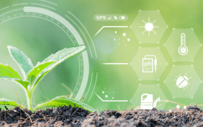
It’s widely known that healthier soil results in higher yields and better outcomes for the season. But, it’s also been found that crops grown in healthy soils have higher levels of vitamins, minerals, and antioxidants than crops grown in unhealthy soils.
Many practices exist today that are focused on finding ways to improve the health of soils – and among these are managing residue cover to help decrease soil erosion while increasing overall soil health. Aerial imaging powered by drone technology can help identify existing residue cover and provide insight into where to improve it, helping to maximize the benefits of this practice in the off season.
Residue Cover Analytics Overview
There’s no end to the amount of work that needs to get done in agriculture – and while the work varies in the off-season, it doesn’t mean that it goes away.
Managing fields in the winter can result in better yields come the following season; and this can start by understanding residue cover and its impact on the field and field health. In recent years, there has been more focus on the value of residue cover in between growing seasons, as data has shown that it can provide a number of benefits to the field, soil, and overall environment.
This is where Sentera’s Residue Cover Analytics come in. These analytics provide insight into what’s happening across acreage to identify the composition of residue cover on the field. In doing so, it can help to inform management practices that focus on residue cover and managing it in the off-season to promote better soil health in the season to come.
How to Use Residue Cover Data
When evaluating the data set that provides insight into Residue Cover, it can provide a number of benefits. At a very basic level, it helps to identify where residue cover may be improved within the field – by either planting a cover crop or applying compost.
The Residue Cover data can be captured via drone technology after tillage to measure how much soil is disturbed during this management practice. In doing so, it can help to inform critical decisions about soil health as a whole, as well as key actions to take to manage soil erosion, water infiltration, and weed control in the off-season.
As part of this, this data can be used for conservation practice detection – which is done by using remote sensing data to identify and map conservation practices across acreage. This includes tillage management, but it may also evaluate practices like contour farming and cover cropping. Using multispectral imagery to generate data around residue cover can help with carbon credit monitoring, reporting, and validation by providing data-driven insights into carbon credit program results.
Residue Cover Analytics: What’s Included
After aerial imagery capture, Sentera’s advanced data science ecosystem translates the imagery into field-level measurements to understand what’s happening across acreage.
In the case of Residue Cover Analytics, this will provide an overview of the percent residue cover within the field by using Sentera’s patented Spot Scout technology. In doing so, it will provide an overview of residue cover in key areas of the field to identify where there may be substantial coverage – and in other cases, not enough.

In addition to providing the analytics layer of data, FieldAgent makes it easy to view the imagery for each of the data points – helping to provide insight into how much residue cover exists in a certain point in the field. This can help inform scouting practices, while supporting data-driven decisions on whether to add more residue.
How to Capture Residue Cover Analytics
Unlike many of Sentera’s analytics, Residue Cover must be captured during the off-season – either after harvest or before the next season begins. Like any aerial data capture, one of the benefits is the ability to fly the drone as many times as needed to measure the success of management practices, as well as to track how it changes over time.
This can be extremely beneficial for Residue Cover, especially when thinking about tracking and managing conservation practices.
Sentera’s Residue Cover Analytics can be covered by using a range of sensors, including RGB, multispectral, and thermal. Among these include Sentera’s Double 4K sensor, which pairs well with the Sentera PHX for high-endurance flights to cover wide swaths of acreage. The Sentera 6X – which is available as a multispectral or thermal – can also be used to capture multispectral imagery. Sentera’s ultra-high-resolution aerial sensor – the 65R – delivers more precise insight into RGB data.
And, these analytics can be generated from data captured on-board sensors, like what you find on the DJI Phantom 4 Pro, Mavic 2 Pro, or Mavic 3 Enterprise.
Regardless of your system of choice, capturing Residue Cover Analytics this off-season will help to set your next season up for success. Augmenting soil health requires year-round dedication, and in doing so it can result in sizable gains across yields and outcomes.
 to see how it can help solve your toughest agronomic challenges
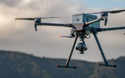
0 Comments