Direct Georeferencing (DGR) System increases project efficiency by 3x
ST. PAUL, Minn. – Oct. 26, 2022 – Sentera, the industry leading ag analytics platform powered by machine learning, today announced the launch of its Direct Georeferencing (DGR) System, which quickly connects to an ag drone to add high-precision location certainty to high-resolution aerial imagery.
“Drones have transformed data collection processes for agriculture,” said Ryan Nelson, chief mechanical engineer, Sentera. “With the DGR, we’re taking it one step further by eliminating inefficiencies so our customers can deliver insights faster.”
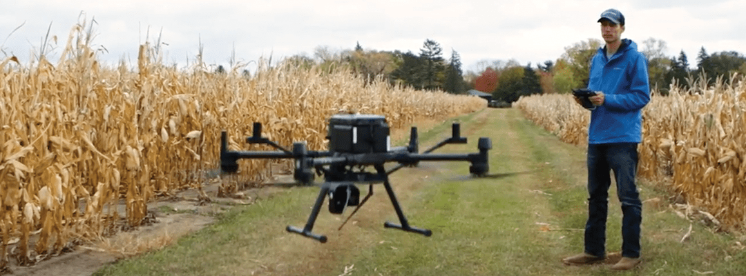
The Sentera DGR System features a tactical-grade inertial measurement unit (IMU) and RTK GPS that tightly integrates with a sensor, like Sentera’s 6X Multispectral or 6X Thermal. DGR-enabled products quickly connect with compatible drones, including the DJI Matrice 300 and several MAVLINK-based platforms.
The DGR System adds high-precision geolocation information in real-time, which means fewer images are required to cover the same area. As a result, users can eliminate the need for the orthomosaic stitching process. In real-world use, drone flight times decrease by up to 60 percent, and the time to move from collection to analysis can be reduced by up to 8x.
“Many times, image stitching is just a necessary evil to assemble the data that produces a crop insight,” said Nelson. “With the DGR System, this process is eliminated – completely transforming how fast we can deliver data.”
Because image stitching is no longer required to precisely geolocate data, many analysis workflows can be accomplished right at the field edge. Where cloud-based processing is preferred, the DGR System’s dramatic reduction in data volume accelerates production rates versus current techniques.
“Efficiency in the field allows our customers to spend their time where it matters most – analyzing key crop health and performance measurements to validate outcomes and performance,” said Nelson.
More details about the DGR System and the value it provides to researchers and product developers will be shared in Sentera’s webinar on November 10, “Maximizing Ag Data Precision with the DGR System.”
For more information about the DGR System, visit https://www.sentera.com.
About Sentera
Sentera powers in-season decision makers with the fastest and most reliable agronomic insights to maximize performance outcomes, from research, breeding and seed production to in-field product validation and sales support via its FieldAgent® platform to analyze comprehensive digital insights from numerous data providers, including aerial imagery that can be captured by Sentera’s drone technology solutions or services. Operating in more than 45 countries, Sentera works with hundreds of customers to monitor more than 42 million acres in real time. For more information, visit https://www.sentera.com.