by Alyssa Pfaff | Nov 10, 2023 | Articles
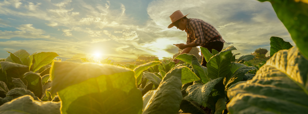
We continuously hear the statistic that food production will need to increase 70% by 2050, but how exactly are we going to do that? This data point has been one of the driving forces of a variety of innovative technologies and practices and right alongside it has been...
by Lora Osborn | Nov 3, 2023 | Articles
by Alyssa Pfaff | Oct 17, 2023 | Articles
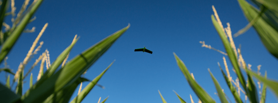
It’s a bird, it’s a plane… no, it’s a fixed wing drone (is that how the saying goes?). Built like miniature airplanes, fixed wing drones have been taking over the skies as they become more and more popular within the drone industry. With the goal of more efficient...

by Andrew Muehlfeld | Oct 13, 2023 | Articles
How many times have you heard your algorithm team say, “it’s working pretty well, we just need more data,”? The trouble is that data is expensive to collect and there are practical limitations. Contracted drone pilots charge upwards of $1,500 per day for data...
by Lora Osborn | Oct 10, 2023 | Articles
What’s scarier than a goblin and more frightening than a werewolf? That would be the dreaded ghost corn imagery. Wait, what is that you may ask? It’s when you get a drone up in the air to get an aerial view of your plots or fields, and what comes back… is a washed out...