Your Trusted Partner In Precision Agriculture Innovation


About Sentera
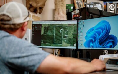
With over a decade of specialized experience, Sentera stands at the forefront of precision agriculture innovation.
Our expert team, comprising engineers, data scientists, and agricultural specialists, develops advanced solutions that redefine profitable farming. By harnessing the power of reliable remote data collection, our technologies facilitate timely decision-making, empowering growers and agribusinesses to achieve unmatched levels of profitability.
Our Mission
Sentera is dedicated to building a future where precision farming is within reach for every farmer. Together with our partners, we aim to equip farmers and advisors with transformative tools, unlocking new levels of profitability and pioneering an era of agronomic decision-making based on profound insights into field conditions.
Our Vision
SmartScript™ Weeds is just the starting point for Sentera’s vision of a comprehensive remote-based precision management platform. By delivering scalable, actionable insights across the season for crop stressors such as disease, nutrient deficiencies, and fertility, we empower farmers and agribusinesses with timely, precise data-driven information. This enhances efficiency and profitability across the supply chain, reduces risk, and facilitates the adoption of accessible precision agriculture solutions for farms of all sizes.


Leading Agricultural
Sensor Innovation
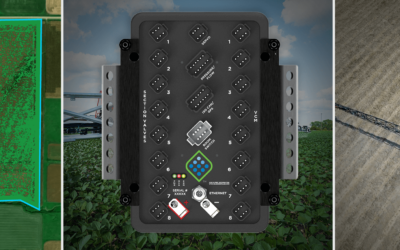
Sentera is at the forefront of developing advanced sensors designed specifically for agricultural applications. Our vertically integrated technology stack enables us to continuously innovate and enhance our sensors, ensuring that we consistently deliver highly precise, accurate, and timely insights to our customers.
Leadership
Meet our leadership team — a group of seasoned professionals dedicated to steering our vision and propelling our mission forward. Each member brings a wealth of experience and a unique perspective to enhance Sentera’s strategy and operations.

Brian Wenngatz
Chief Executive Officer

Eric Taipale
Chief Technology Officer & Founder

Joe Walsh
Chief Growth Officer

Andrew Muehlfeld
Vice President, Software Develpoment

Matthew Nanne
Head of Finance

Todd Colten
Sr. Director, Program Management

Dimitris Zermas
Director of Machine Learning

Ryan Nelson
General Manager (Data Production Systems)

Brian Eickoff
Director of DPS Engineering

Missy Oakley
Geospatial Manager

Dan Dorson
Flight Services Manager
News and Insights
John Deere Acquires Sentera to Integrate Aerial Field Scouting
MOLINE, Illinois (May 23, 2025) — John Deere (NYSE: DE) announced today the acquisition of Sentera, a leading provider of remote imagery solutions for agriculture headquartered in St. Paul, Minnesota. This acquisition will advance the capabilities of John Deere's...
Unlocking the Power of Precision: How Sentera and Capstan Ag Are Transforming Targeted Weed Control
By Andrew Muehlfeld, Sentera & Brian Finstrom, Capstan Ag Where Precision Meets ActionIn a market full of incremental improvements, Sentera and Capstan Ag are taking a giant leap forward. Born from a shared commitment to practical innovation, the partnership...
Sentera Announces Oversubscribed 2025 Early Access Program for SMARTSCRIPT™ Weeds
FOR IMMEDIATE RELEASE MINNEAPOLIS, MN — April 17, 2025 — Sentera, a leader in image-based precision agriculture solutions, today announced that its 2025 Early Access Program (EAP) for SMARTSCRIPT™ Weeds is fully enrolled. Fueled by exceptional market interest, the...
INVESTORS


Our Culture: Collaborating, Innovating, and Putting Customers First

Teamwork
With employees located around the country, we value teamwork as a core value — working together to help our customers solve their biggest challenge.

Customer Focus
Our customers come first and it’s evident in how we do business, as we continually seek ways to improve and optimize the Sentera customer experience.

Innovation
Sentera sits at the intersection of agriculture and technology, and our teams are dedicated to delivering new solutions to drive the industry ahead.

Trusted Partners
From delivering high-quality sensors to derailed data set to software tools, we are a trusted partner that helps our customers confidently make decisions.
Join Our Team
Get started today to help revolutionize agriculture with cutting-edge precision technology—where innovation meets impact.