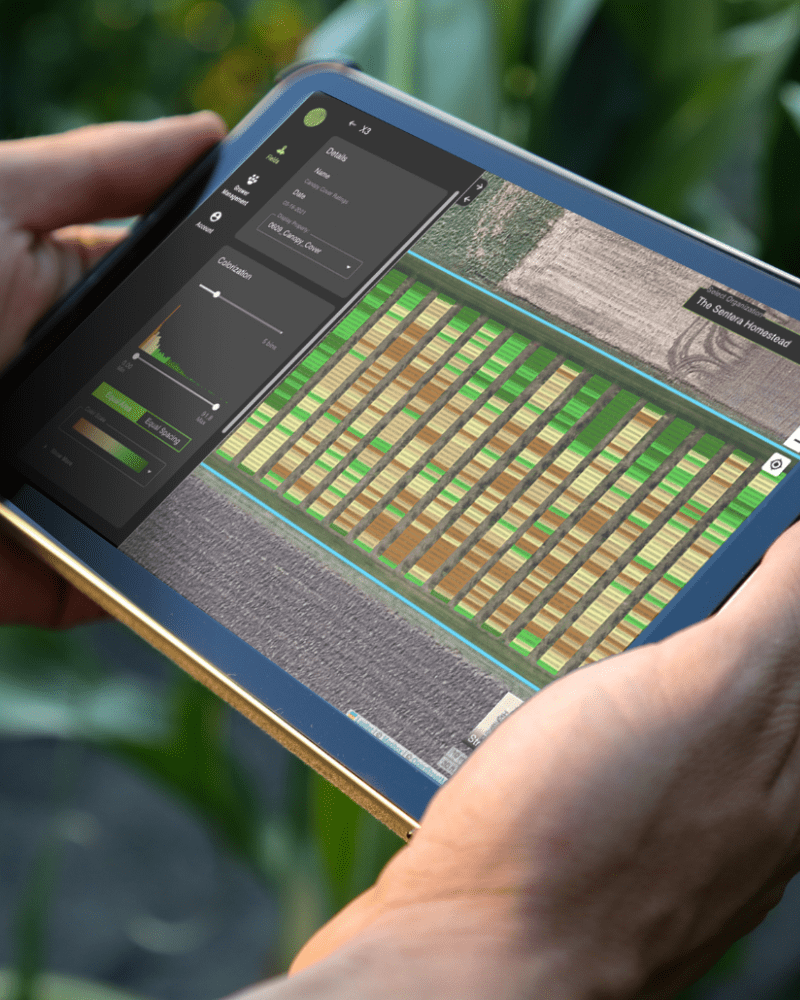
Delivering Ag Analytics
from Research Trial to Crop Production

Turning Plant-level Measurements Into Insights
The seasonality, locality, and uncertainty of agriculture will never change, but how researchers and product development leaders respond to it can – and that’s fueled by access to more frequent and accurate plant-level measurements.
With our data science ecosystem, trust in the accuracy of remote sensing as we translate aerial imagery into the data points required to validate outcomes and maximize yields.
Our Solutions
Data & Analytics
Our advanced data science ecosystem translates aerial imagery into plant-level measurements for deeper insight.
Learn More >
Sensors & Drones
Award-winning sensors and drones to capture aerial imagery across fields and plots.
Learn More >
Precision Weed Management
The first scalable precision weed management solution to reduce post-emergent herbicide use by up to 70%.
Learn More >
Solving the Toughest Agronomic Problems
42mm
monitoring 42 million
acres in real time
10x
capturing 10x
data points
100mm
models trained on
100+ million images
Hear From Our Customers
Your Expertise, Our Technology.
Let's build a data-driven solution to validate outcomes.


