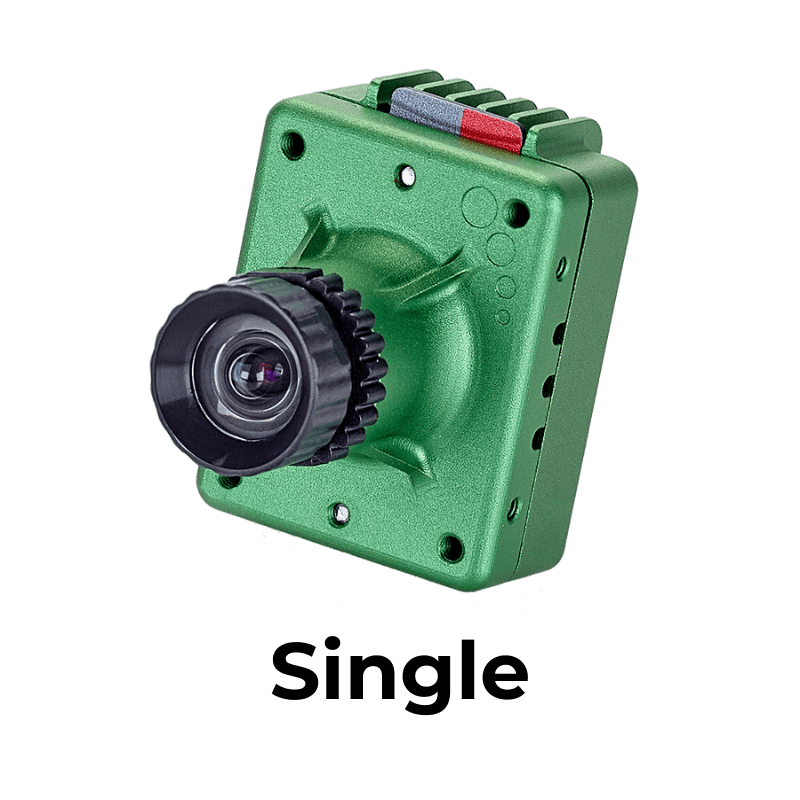


What is the High-precision Single Sensor?
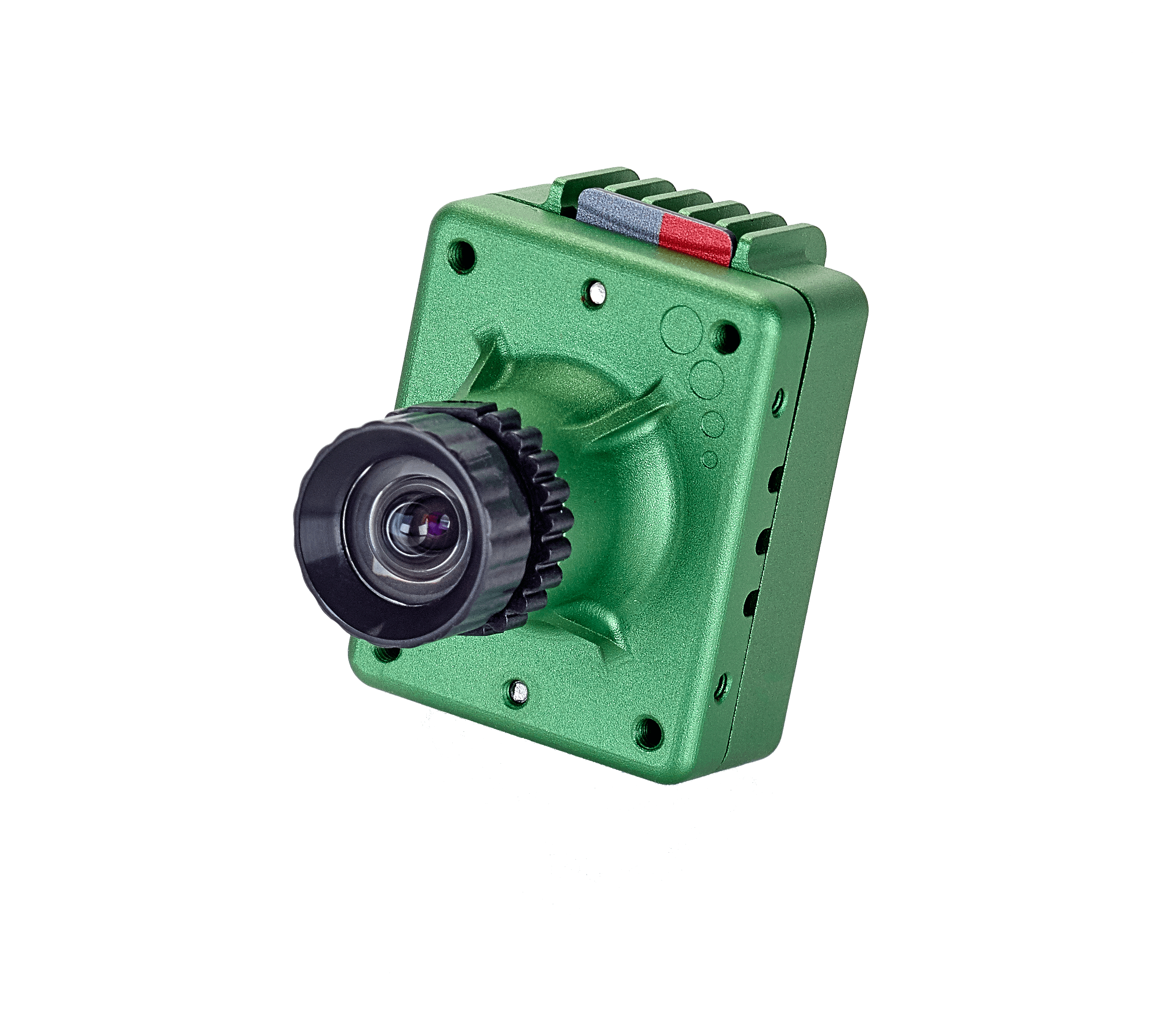
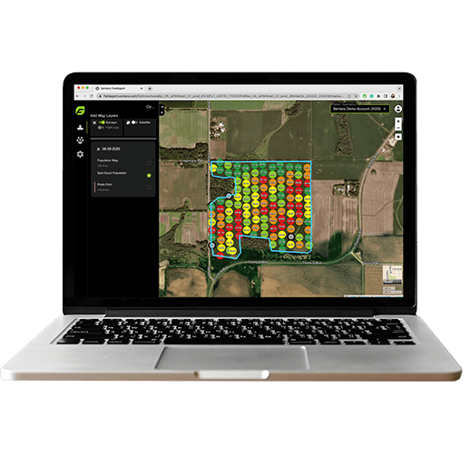
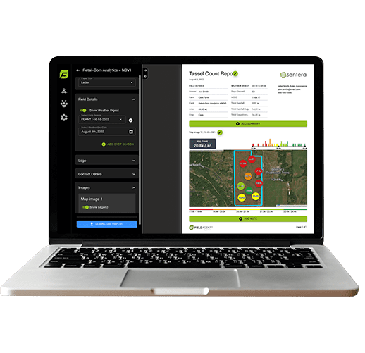
The High-Precision Single Sensor is designed to capture measurements related to crop health, maturity, and vigor. Go beyond NDVI and NDRE imagery that you can capture via satellite to get more precise data for analysis.
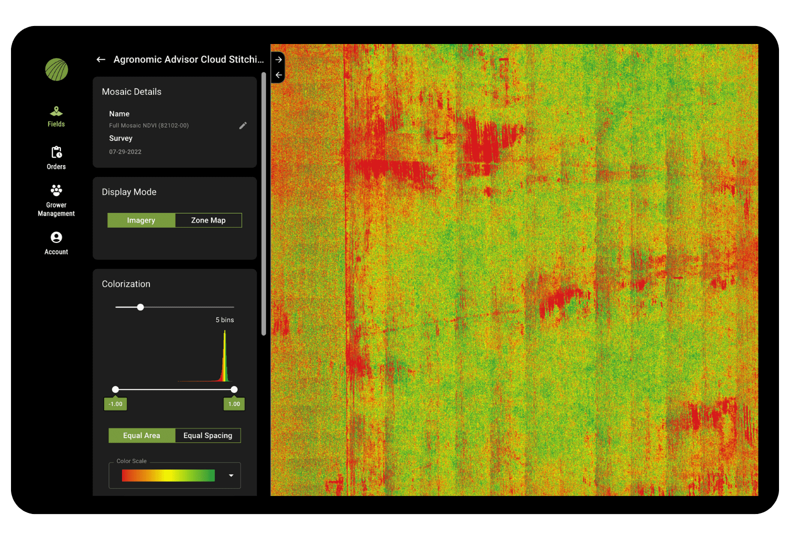
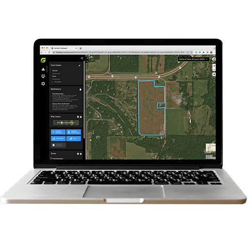
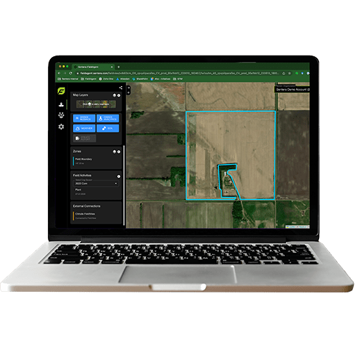
More Detail Than Satellite Maps
For users who are interested in getting more precise multispectral imagery than what can be captured via satellite imagery, the Single Sensor delivers.
Agronomic Insights from Two Cameras
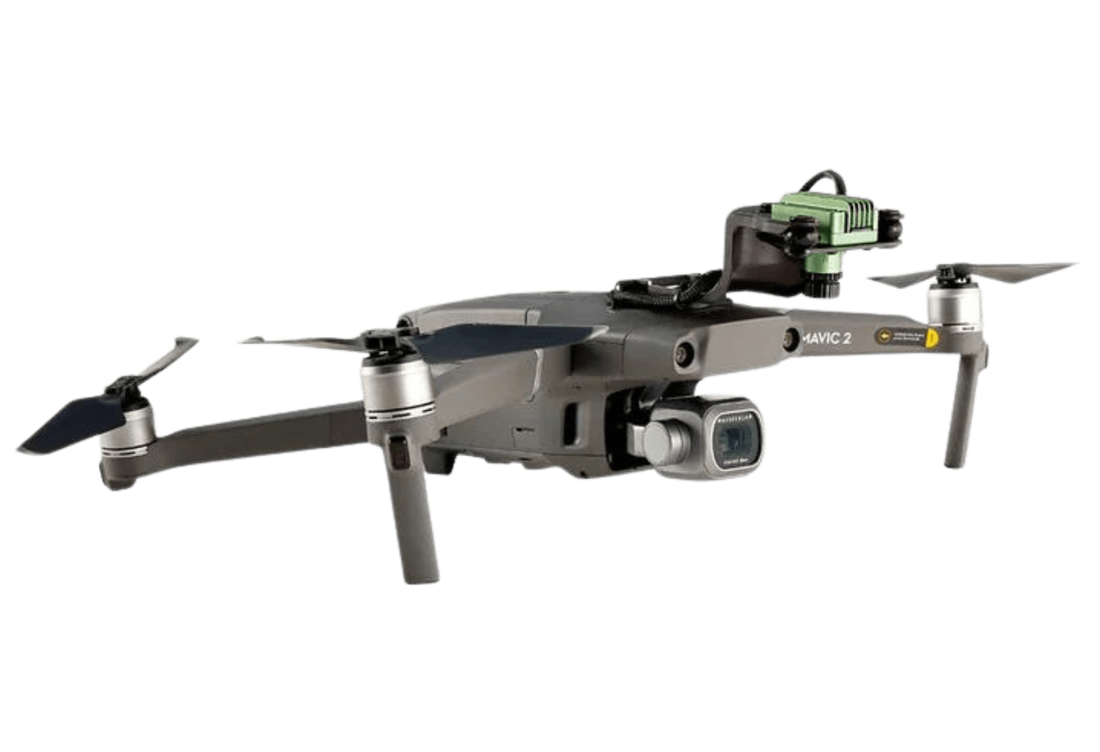
Add the Single Sensor to your drone and retain existing camera functionality to get deeper agronomic insights with the option to generate NDVI or NDRE maps.
Easily Identify Crops Under Stress
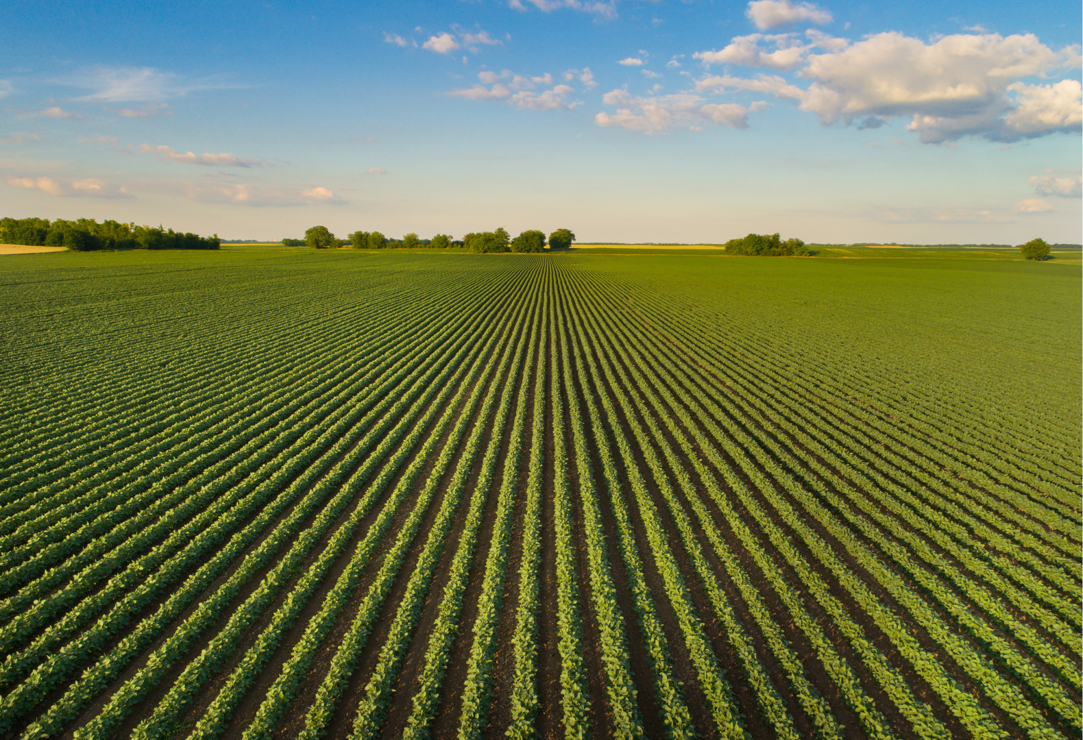
With the ability to capture near infrared (NIR) data, detect crop health issues earlier with visibility into how plants are reflecting light given chlorophyll content.
Key Specs for the Sentera Single Sensor
- HFOV: 60" horizontal/47" vertical
- GSD @ 60m: 5.5cm
- GSD @ 120m: 11.0cm
- Focal Length: 4.14mm
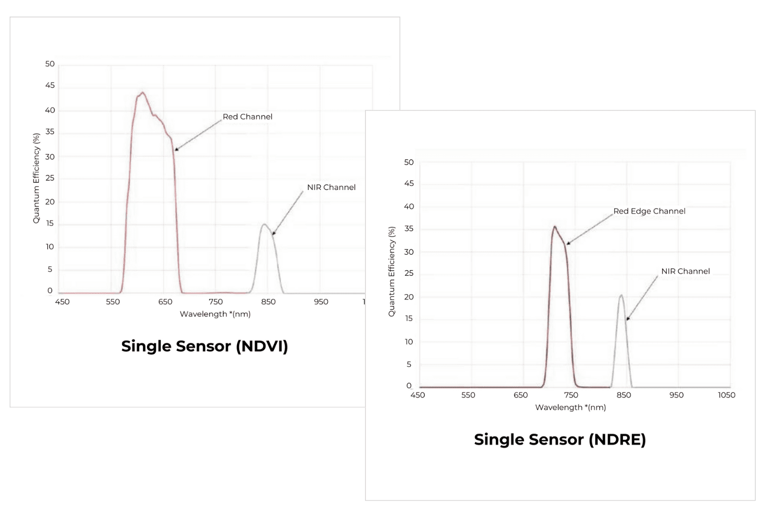
Red band: 625nm CWL x 100nm width
NIR Band: 850nm CWL x 40nm width
NDRE (Red Edge):
Red Edge Band: 720nm x 40nm width
NIR 840nm X20nm width
JPEG: 200,000 images; TIFF: 8,000 images
- PIXHAWK autopilot
- MAVLink-based systems
- Customized ICD options available
DJI Phantom 4/4 Pro
NDVI vs. NDRE: Which to Choose?
The High-precision Single Sensor from Sentera is available in two models: NDVI and NDRE. Both offer a deeper look into crop health and performance, so how do you choose?
Cited in Research
UAVs to Assess the Evolution of Embryo Drones
Analysis of Vegetation Indices in the Cotton Crop in South Asia region using UAV Imagery
UAVs for Structure-From-Motion Coastal Monitoring: A Case Study
UAV Remote Sensing: NDVI Analysis in Danongdafu Plantation
Crop Health Monitoring Using IoT-Enabled Precision Agriculture
Evaluation of Physiological Changes in Flowering Dogwood Under Drought Conditions in a Container Production System
Remote sensing in Ossa-Morena Zone: Lithological and Mineralogical Mapping Using Satellite and Multispectral Drone Imagery
Your Expertise, Our Technology.
Let's build a data-driven solution to validate outcomes.
