Each year holds unique, and sometimes unpredictable, challenges that need to be overcome in order to maximize potential outcomes. Comparing and contrasting performance of past years allows the ability to indicate trends, problem areas, wins, and more beneficial insights.
Being able to compare crops from past years by just looking at one detailed visualization is efficient, but also provides the precise crop records needed to fuel agronomic decisions. This is where stitched mosaics (or an orthomosaic if you prefer the formal term) come in, especially as they’ve become a monumental factor in improving how to gain deeper insights into the full-scale picture of field performance.
This type of stitching doesn’t require thread and needles – a stitched mosaic comes from taking images captured via drone technology and connecting them together to create an accurate map. It provides precise data collection needed to fuel critical data analysis and decision-making.
Breaking Down Stitched Mosaic
Stitching a mosaic can be a long, but worthwhile, process of compiling hundreds to thousands of photographs to create one image. A stitched mosaic compares neighboring images – allowing for smoothing between them and essentially making it impossible to tell the photographs were merged into one.
When going through the process of creating a stitched mosaic, precise geographic positioning plays a vital role in accurate results. It is crucial to map out ground control points to ensure you’re hitting the correct areas when flying over them with the drone. The overlapping images taken may take more time, but it is necessary to ensure that every part of the intended area is being captured: this allows for a more accurate final product.
Once the data capture is completed, how do you get the final stitched mosaic? After taking all the images and data collected during flight, you then plug it into a stitching tool that does it for you (or, if using Sentera’s FieldAgent on desktop, you have the option to stitch yourself). If searching for that detail that Stitched Mosaics provide, it is worth the wait.
A somewhat similar concept to a Stitched Mosaics is the QuickTile – but there are clear differentiating factors between the two. It is essentially right in the name, the QuickTile method is a faster, less accurate version of a stitched mosaic. The outcomes of both methods are very different and have functionalities that support different use cases.
With QuickTile you are getting this less accurately aligned and detailed image – this is due to images not being compared to adjacent ones.

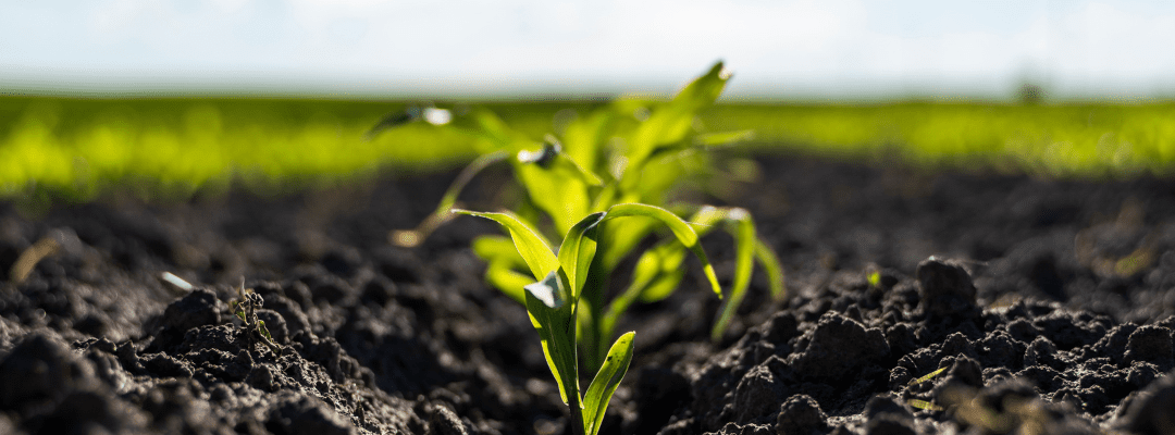
A stitched mosaic captured by Sentera’s 6X Sensor
Is Stitching Really Necessary?
There is no simple answer to this question. Yes, you may be able to get some of the same insights with other methods – but it does not match up to the capabilities of stitched mosaics. The extra time that is invested into stitching mosaics is worth it when comparing effectiveness and accuracy.
By just capturing a normal image from a drone and modifying it to fit the map, you are missing out on crucial data points. This distorts the image, destroying any sense of accuracy and detail which is the sole purpose creating mapped images. By going through the stitching process, you can ensure that you are receiving insights on all the features, details, locations, etc., needed to analyze.
For Sentera customers, there is the option to use our QuickTile option. QuickTile method is a faster, less accurate version of a stitched mosaic. The outcomes of both methods are very different and have functionalities that support different use cases.
With QuickTile you are getting this less accurately aligned and detailed image – this is due to images not being compared to adjacent ones. It gives you a quick view of what’s happening so you can make decisions right at the field’s edge in the event that you need to scout a particular area or fly a particular section again for more detailed insight.
On the other hand, a stitched mosaic map provides a far more precise and scaled image than just a typical picture taken from a drone and what is provided by QuickTile. It can tell you the location of a specific area or provide you with detailed imagery of crop performance that a distorted or messily produced image would not provide.
Taking Stitched Mosaic to the Next Level: Sentera’s DGR
Traditionally, it takes a decent amount of time to create these geographically and visually accurate mosaics, which is its most common downfall. But if there wasn’t such a large time commitment, would producing a mosaic image be more appealing? It’s safe to say that yes, reduced time would boost efficiency and leave more time for analysis and making those critical decisions.
Sentera’s Direct Georeferencing (DGR) System cuts project time by nearly 90% – eliminating the inefficiencies around mosaic stitching. The technology makes it possible that you can capture fewer images, decreasing the flight time by 60%, and completely cutting out the need to ever stitch a mosaic again. Yes, you read that right – Never. Stitch. A. Mosaic. Again.
Because of the workflow optimization, the DGR System unlocks additional time that researchers, product developers, and agronomic leaders can use to do what they do best: analyze results and make critical decisions to maximize outcomes.
 , to learn more on the improvements made to creating orthomosaic maps that eliminate inefficiency and promote accuracy.