Over the past few years, those in the agricultural industry have demonstrated their resiliency and commitment to food production. From input prices skyrocketing, like with nitrogen fertilizer, to limiting resources, there are clear challenges – but this has opened the door to technology adoption within the industry as well.
The innovations and advancements seen in agriculture throughout the years directly correlates with providing solutions to different problems. With limited labor, we have begun to see more autonomous equipment and are relying more on technologies (like ag drones and sensors) to replace manual methods. Ag technology has been advancing to provide more efficient and reliable options while boosting productivity.
And each operation poses its own unique challenges and circumstances, calling for specialized techniques and technologies. This is where the different uses of remote sensing come in handy.
Getting Started with Remote Sensing
Before investing and getting started with remote sensing ask yourself this: what are you looking to get from using remote sensing?
This question fuels everything regarding remote sensing from start to finish. From equipment to time of year, the answer to this question is critical towards the successful implementation of your objective(s). When considering your purpose for using remote sensing, you can leverage that question to uncover suggested methods for data capture.
The suggested methods and your intended goals help to shape what hardware is going to get you the results needed. With many variations of ag drones, sensors, and combinations of the two, identifying where and what needs to be done dictates what equipment suits you.
When preparing for your mission, there are a lot of things to keep in the back of your mind. Pre-flight planning, choosing equipment, and determining which category lines up with your goals. So, matching all of these will contribute to meeting or even exceeding your expectations – providing you with results you’re happy with.
Asking yourself what your goals are not only impacts the pre-flight planning and data capture itself but also carries into what to do with the data afterwards. Knowing your end objectives also plays a significant role in how you process and interpret the data that is captured.
Defining the Three Key Uses of Remote Sensing: Which is for You?
When breaking down remote sensing, there are three main uses of remote sensing: scouting, monitoring, and prediction modeling. So, how do you differentiate the three? It all comes down to how their end results tie into your goals.
The main question fueling scouting is: where should I go to get a closer look at what’s going on in my field? Scouting with remote sensing is essentially giving an eye-in-the-sky for agronomists – versus boots-on-the-ground scouting. This provides a visual look at the research plots, providing the qualitative data needed for crucial insights. By using imagery to identify areas, you’re better able to facilitate manual methods by directing them to specified areas – boosting efficiency along the way.
A second type of remote sensing is monitoring, which gains the necessary quantitative insights into your field, typically leveraging only the remote sensing imagery that was just captured. The core objective behind monitoring is to identify problem areas of your research trials so they can be accounted for during statistical analysis.
What rate of in-season nitrogen should I apply to my field? What is the phosphorus uptake for each of my plots? On what date did my crop reach physiological maturity? These are some questions answered by the third use: prediction modeling. Predictive models involve leveraging remote sensing imagery for quantitative insights into your field based on proactive and future decisions that you know you will need to make. Predictive modeling uses a more holistic approach, and thus, typically requires additional data other than what is picked up with remote sensing, such as:
- Weather
- Soils
- Crop management practices
- Topography
Picking the Perfect Equipment for Your Remote Sensing Needs
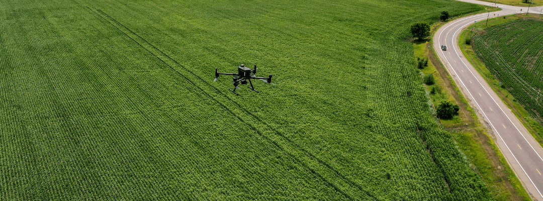
Arguably one of the most important aspects of mission success is using the hardware. Picking and using the right equipment for your goals and needs can make or break the results you get. With different specializations for data capture, plant growth stage, plot size, and terrain of the plot, it is critical to choose both the correct drone and sensor. So, let’s dive into building a system for the three key uses of remote sensing we have broken down.
Scouting requires limited complexity, making it simpler to put together an ag drone system. Traditionally, scouting drones are limited to smaller drones with an RGB sensor with video feed. Georeferencing can be added to elevate the data you are collecting and further guide to specific areas that need attention.
Because monitoring is seeking more specified data, utilizing specialized sensors – like those capturing high-resolution imagery with multispectral indices – is required. Sensors, such as Sentera’s 6X Thermal Sensor, can pick up on insights needed for monitoring. The imagery is then translated into detailed analytics (e.g., monitoring plant emergence, crop stand, canopy, and more) to get an in-depth understanding of performance. Georeferencing is usually needed to pinpoint exact problem areas, especially since that is the key objective for monitoring. And, in ag, it becomes essential given the large areas that are captured.
Since more area and data is being collected, both drone and satellite technology can be leveraged for predictive modeling. Just because more data is being captured doesn’t mean the quality has to suffer, which is why spectral sensors with high degree of radiometric calibration are recommended to provide the best accuracy.
Drone sensors are ideal for “proof of concept” prediction models due to their flexibility for data capture, but satellite sensors are better suited to making predictions across larger areas and/or throughout the season due to their passive data capture and relatively lower unit cost per area.
