As researchers, agronomists, and growers strive to optimize crop yields, enhance sustainability, and make informed decisions, data plays a pivotal role in uncovering valuable insights. However, data alone is not enough to drive meaningful change. It is the story that emerges from the data that truly holds the potential to transform agronomic practices.
Today, there are several different sources for data to help inform decisions while building a story of what’s happening within plots or fields.
Whether it’s taking soil samples, evaluating key milestones during the season with equipment data, or leveraging aerial imagery to get essential insights into plant-level measurements and crop performance all season long, using these different sources can build a comprehensive understanding of what’s happening throughout an agricultural system.
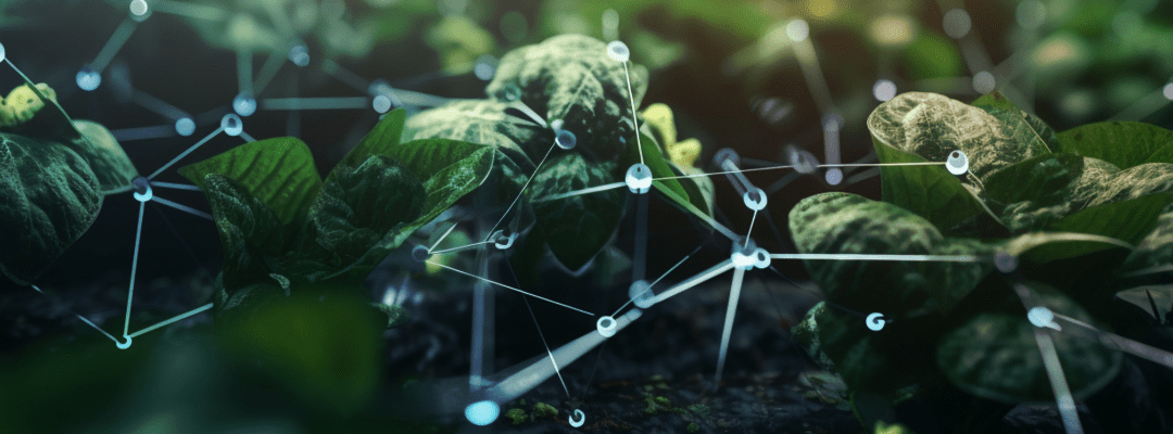
Advancements in data science and machine learning have made high-resolution aerial imagery more valuable in recent years; in addition to delivering actual pictures of what’s happening in the field, these images can be translated into plant-level measurements and data sets for deeper analysis.
The Chapters of Your Data Story
During each stage of the growing season, you’re on the mission to uncover specific insights into your crops that vary based on growth stage. Capturing aerial imagery via remote sensing opens the door to a more efficient and accurate way to do multiple (or even one) analysis’ during the season. And early, mid, and late season data provide valuable “chapters” to your ag data story.
Chapter 1: Early-Season Emergence, captured by Stand Count analytics, gives the first indication of health, performance, and even prediction of yield. This is the first big chapter of your ag data story, helping to fuel anywhere from input decisions to replanting or even plot deactivation.
Chapter 2: Monitoring crop health, to get an inside look at how your crops are developing, if they are experiencing stress, and their growth progression. Crop Health is a critical analytic in gauging overall crop performance and can indicate potential issues that need attention.
Chapter 3: End of season outcomes, using late-season analytics, like Tassel Count, provide the last look at end of year yields. This is the most accurate look at productivity, helping to gain an early indication of yield and outcomes before harvest.
Chapter 4: Water management, insights provided by Elevation and Hydrology, provides a post-season look at how water interacted throughout your field. This late-season analytic can help fuel planting and field management decisions that help to optimize areas that ran into issues. Whether it be flooding or drought, having insight into how your fields or plots manage water can power critical decisions that lead to more productive and efficient seasons.
And those are only three of the many valuable insights and data analytics captured throughout the season. With food demands running higher and restrictions with resources, leveraging accurate and efficient data collection technologies (like high-resolution imagery) can help power a more sustainable and productive future for agriculture.
Picking the Optimal Data Collection Method for You
There are a variety of methods to capture data throughout the season, some older and some more new, with each holding their own value. As new challenges rose, innovations and accommodations were made to improve the data collection process in terms of timelines, accuracy, and amount of data collected.
Let’s start with the most traditional method: manual, boots-on-the-ground scouting. For years, this has been the main way of collecting data and monitoring your fields. Where essentially you or hired workers (often seasonal) walk the fields and manually record what they are seeing at the ground level. While this provides an up-close look at what is occurring at the field-edge, the data is at-risk of subjectivity due to human-error and due to recent labor shortages, there just isn’t a surplus of workers to manually scout – making this more time-consuming and costly than before.
Luckily, there is a way to mix tradition with innovation by leveraging high-resolution aerial imagery to assist boots-on-the-ground scouting. By combining the two, you are better able to inform manual scouting by pinpointing areas of concern to check out in-person. While aerial imagery provides precise and accurate look into performance and health, being able to get up-close and personal provides a different perspective in the situation.
On the flip side, there is also the strictly high-resolution aerial imagery option, which is captured by ag drone systems, and covers the downfalls of manual methods. To ensure high-quality, objective data, relying on technological advancements is necessary in minimizing human error. Remote sensing has transformed the data collection process for the better, providing easily comparable, accessible, and accurate insight into your fields or plots.
And if you don’t want to own, manage, or fly your own fields? Services like Sentera’s Flight Services complete your personalized missions for you.
But when choosing which method is suited for you, it comes down to what you are looking for, your operation size, and the resources available to you.
Using Your Ag Data Story
Whether you’re in ag research or an agronomic advisor or a grower, building your ag data story can provide a variety of uses and add value to different operations. Having these key analytics and a detailed account for what occurred during the season helps to support and understand end-of-season outcomes.
The data captured via high-resolution aerial imagery offers a deeper understanding and more accurate look at performance. From an agronomic advisor’s end, having this data laid out to tell a detailed and accurate story helps to better support growers and build trusting relationships.
The insights provided by aerial imagery give the necessary information and help empower growers to make decisions. By getting a full view of what is happening within their fields, they can better assess and make more informed decisions. With the help of high-resolution aerial imagery, growers can better identify problem areas; as well as uncover the root of the issue. Pinpointing these areas of concern can then help growers assess the situation and put together a treatment plan while still possessing the power to make their own decisions.
The same goes with ag research and product development in the sense that it powers critical decisions and helps with validating outcomes. Say you’re testing different seed variations or different treatments, having precise images and a comprehensive story offers a detailed look at performance and can make easier comparisons.
By building a comprehensive ag data story, you can better identify the impact of factors like weather patterns, micro challenges, planting decisions, and more. By understanding the cause and effect of these issues facing agriculture, we can formulate proactive plans – rather than relying on reactive decisions.
 .
.