In today’s fast-paced agricultural landscape, farmers and their advisors are constantly searching for more efficient ways to monitor field conditions and boost productivity. Traditional methods like manual scouting and on-machine sensing often fall short, requiring significant investments, slowing down operations, and offering limited actionable insights before fieldwork begins.
This two-part series will explore how remote sensing is reshaping agriculture, starting with the powerful advantages it offers for field monitoring and efficiency in Part 1. Stay tuned for Part 2, where we’ll dive into a specific Sentera use case, Aerial WeedScout, that highlights the transformative impact of these technologies in action.
The Power of Remote Sensing in Agriculture
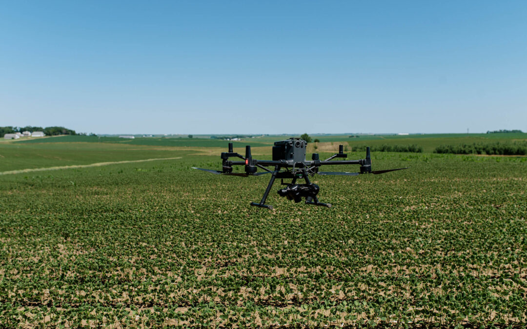
Remote sensing has emerged as a revolutionary tool across industries, with immense value in agriculture. Whether through satellites, aircraft, or drones, remote sensing technology provides quick, accurate, and cost-effective insights. Sentera specializes in drone-based remote sensing, capturing high-resolution imagery and detailed data with proprietary technology that enables remarkably fast processing.
By deploying drones, farmers and advisors gain a comprehensive, real-time understanding of field conditions, monitor crop progress, and identify issues with unmatched speed, efficiency and precision. Unlike traditional methods, Sentera’s drone-based remote sensing provides a complete and detailed view of every acre, ensuring no issue goes unnoticed.
Aerial WeedScout: Revolutionizing Weed Management
Sentera’s Aerial WeedScout exemplifies how Sentera’s differentiated remote sensing platform is transforming targeted crop management. Utilizing advanced sensing technology, Aerial WeedScout captures high-resolution data that feeds into AI and deep learning models, generating crucial pre-application insights. Farmers receive precise weed maps and targeted spray prescriptions that empower them to make informed decisions before they spray. This approach significantly enhances weed management effectiveness and has the potential to reduce post-emergence non-residual herbicide costs by up to 70%.
Key Benefits of Remote-Based Sensing
Ongoing Field Surveillance for Proactive Management
One of the standout benefits of drone-based remote sensing is its ability to provide continuous, near real-time surveillance of field conditions. This constant monitoring allows farmers to detect and address issues rapidly, rather than relying on periodic field visits that might miss early signs of trouble. Sentera’s advanced Direct Georeferencing (DGR) technology further enhances this capability, enabling early detection and swift action, ultimately saving time and resources. Sentera’s sensors are able to precisely collect images and data at 1.5 mm resolution and upwards of 90 acres per hour
Cost-Effective and Efficient Operations
Remote sensing dramatically reduces the need for frequent machine and personnel deployments, cutting operational costs. By minimizing expenses related to fuel, maintenance, and labor, drone-based remote sensing proves to be a far more cost-effective solution compared to traditional scouting methods. Moreover, it offers a faster and less disruptive way to gather comprehensive field data, ensuring that observations are both timely and accurate.
Timely, Actionable Insights
The rapid data processing and analysis capabilities of Sentera’s drone-based remote sensing mean that farmers and advisors receive timely, actionable insights. These insights empower them to make informed decisions before deploying costly machinery, ensuring that every action in the field is both necessary and effective. Aerial Weedscout uses pre-geolocated data significantly reducing data volume size and eliminating lengthy processing times for image stitching. This allows most prescriptions to be delivered by 6 am the next day after the drone flies, allowing farmers to make quick decisions.
Accelerated Innovation Adoption
As technology advances, remote sensing offers farmers a straightforward path to adopting the latest innovations in AI, cameras, sensors, and drones. This rapid pace of innovation ensures that Sentera’s solutions remain cutting-edge, equipping farmers with the best tools to achieve optimal outcomes.
Optimized Crop Management
With Sentera’s drone-based remote sensing, crop insights are delivered before 6 am the next day, 90% of the time. This enables farmers to prioritize fields, optimize chemical volumes, and customize tank mixes to match specific field conditions. This targeted approach not only enhances efficiency but also reduces costs, ensuring that resources are deployed where they are needed most, ultimately leading to better crop yields and healthier fields.