There is a well-known statistic circulating the internet (and even the Sentera blog) that quotes the U.N. and states that by 2050, the world will need to increase food production by 70%.
For those of us in agriculture, this stat isn’t new information – after all, this has been the quest for seed breeding programs for many, many decades. The Green Revolution took the first pass at this by increasing agricultural production with higher yielding food grains and technological advances.
And now, as the world enters the fourth agricultural revolution, there’s another tool that’s transforming phenotyping in agriculture: drones.
The History of Drones in Agriculture
The history of drones in agriculture is a relatively short one, but it has seen rapid growth in recent years.
The first evidence of this type of technology in agriculture dates back to 1985, when David Thurling’s paper, “An Aerial Camera System for Weed Detection in Oilseed Crops,” was published in Agricultural Engineering. In his research, he describes developing a camera system that was mounted on a radio-controlled helicopter to take vertical images of oilseed crops to identify and map weeds within the field.
Since then, drones have come a long way. For the past 20 years, they have been used for spraying crops and monitoring performance and health. Their aerial view has been immensely helpful in covering a vast amount of acreage much quicker than other methods. Today, drone technology has a much wider use.
In addition to planting and irrigation, drones are used to collect immense amounts of data on soil crop health, and weather patterns. The advancements in the cameras – or sensors – that are used on drones have advanced quite a bit to get more accurate and deeper insights on what’s happening within a field, even going beyond crop health and performance to give indication of how field conditions may be impacting growth and yields.
And, with this information, precision agriculture methods are informed for growers to maximize their resources, reducing production costs and optimizing yields in the process. It’s no wonder that the value of drones within agriculture continues to grow – in fact, by 2025, it’s estimated that the overall global market will be valued at over $3 billion.
The Role of Drones in Phenotyping in Agriculture
Phenotyping in agriculture serves as an instrumental component of seed breeding. Plant phenotyping relies on the identification of key properties of a plant, from anatomical to physiological to biochemical properties; and using that information to select the seed traits that have ideal characteristics to withstand many of the challenges that changing weather patterns present; or to optimize yields given soil conditions and nutrient quality.
To get to the level of information required to truly understand distinct properties of plants and how they are performing, it requires technological tools that can uncover these characteristics and report on them in standard, repeatable, and precise ways.
Traditionally, this has relied on humans to gather this data. This can result in erroneous data (humans get tired, technology tools do not), as well as challenges in capturing the amount of data that may be required to validate the plant characteristics. Even a research trial that has hundreds of plots can be challenging to capture data required to perform a distinct analysis on specific characteristics and growth patterns to uncover specific insights into seed traits.
This is where drone technology has started to gather momentum in the world of agriculture. By using a drone with a high-resolution aerial imager, it can on an aerial mission to capture imagery across plots in a fraction of the time compared to humans on the ground.
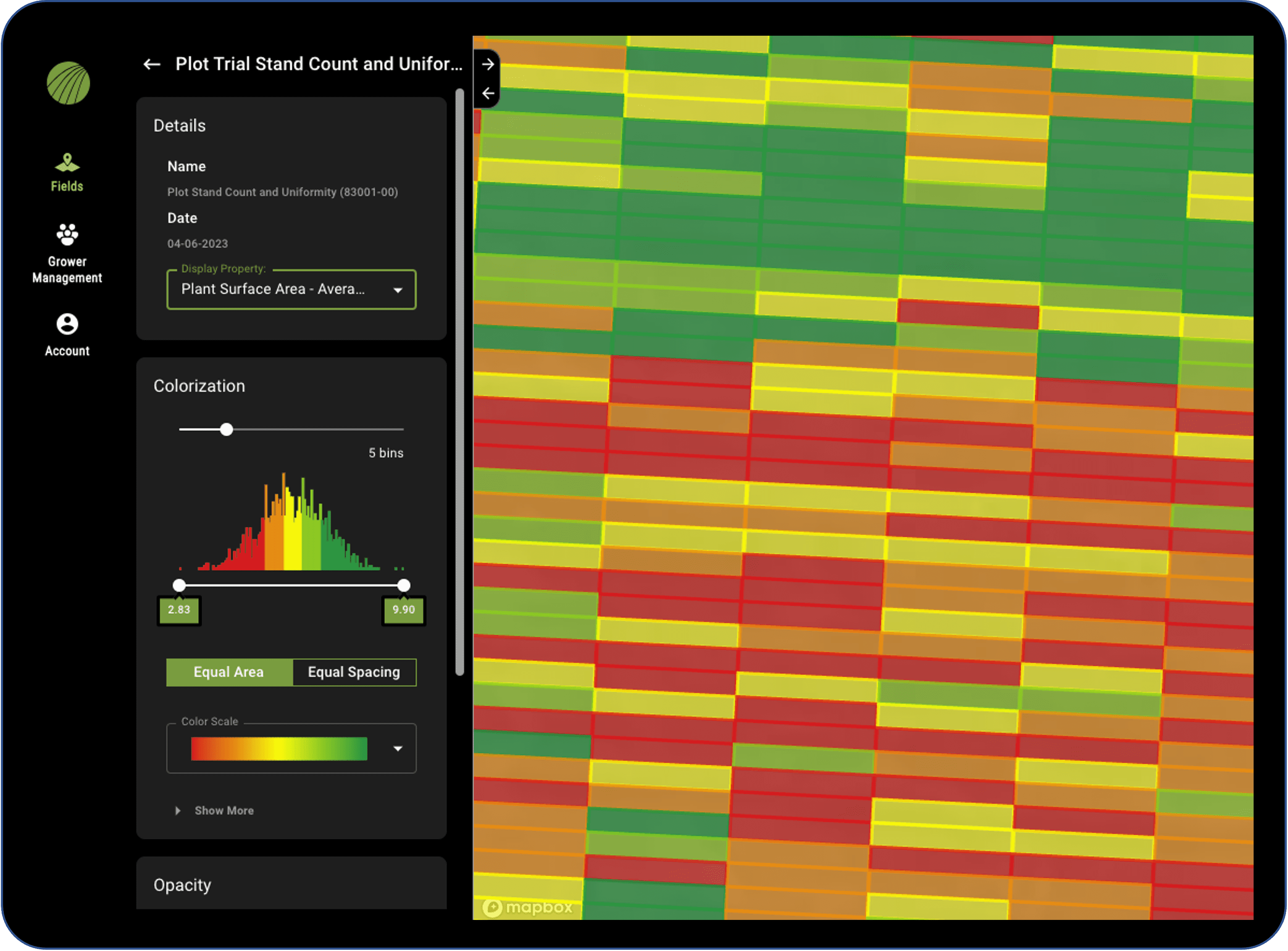
And, by pairing it with an advanced data science ecosystem, it can turn this aerial imagery into detailed plant measurements and data sets to provide an even more granular level of detail on how plants are performing within plots. This can be especially appealing when tracking data throughout growth stages, to create a comparative analysis of what happens when plants are exposed to specific inputs or even weather patterns.

This isn’t to say there isn’t a place in the field for manual analysis. Scouting continues to be a critical part of data analysis, offering a qualitative perspective that may not be captured via drone technology. Many researchers find that using aerial imaging provides a broad perspective of what’s happening within the field, with the ability to generate specific data points on key characteristics; while scouting can be used to dig deeper into specific issues that may be identified and captured via aerial imagery.
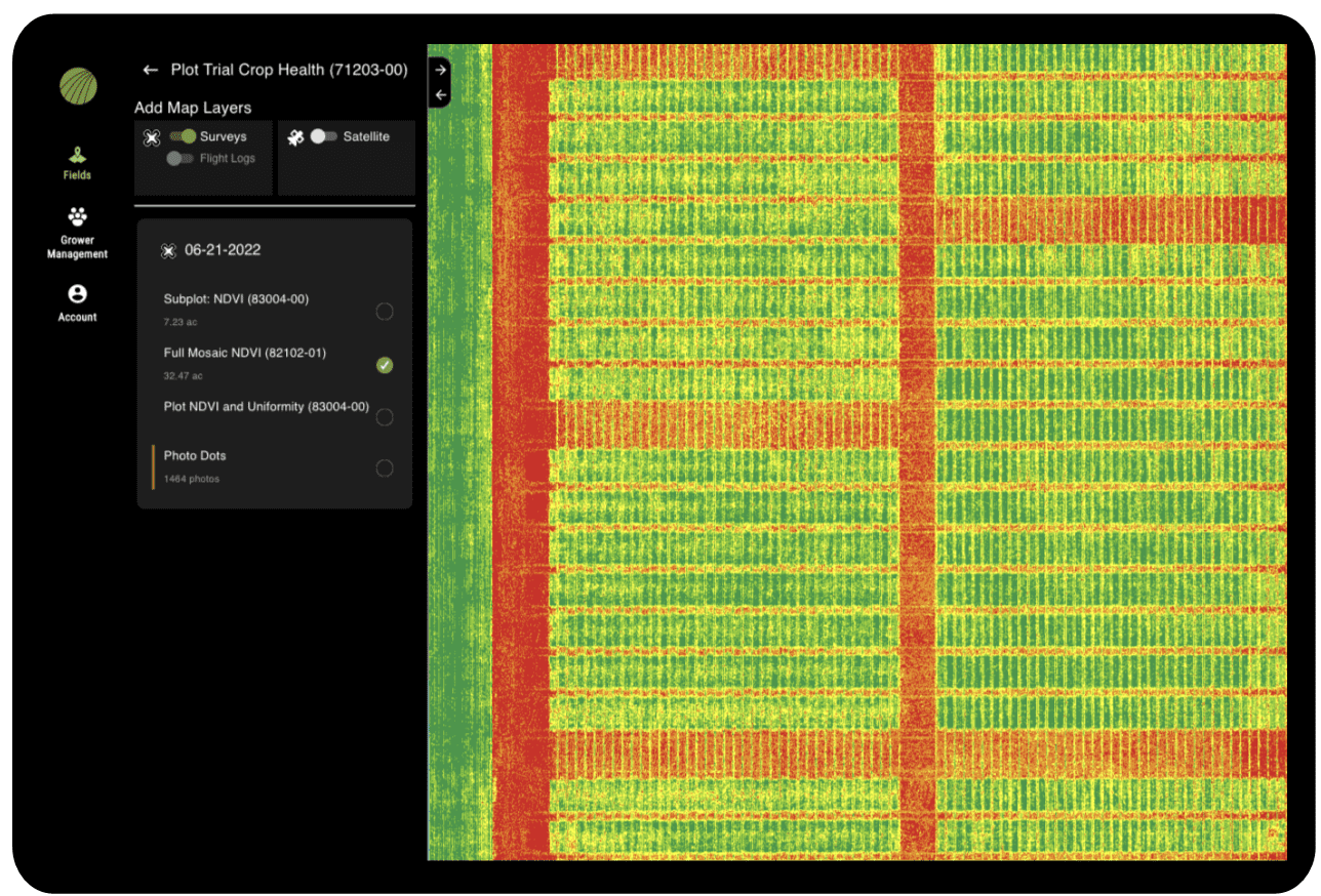
In addition to providing more measurements across a broader swath of plots, aerial sensors can also be used to capture multispectral imagery – which can be especially helpful for phenotyping in agriculture. This type of imagery captures different bands of light that cannot be seen by the human eye, and can detect stress and performance changes in crops before it becomes evident in RGB imagery.

This multispectral imagery becomes an essential resource in analyzing crop health, especially as changes are tracked over time. It can help to uncover where there may changes in growth patterns. It can showcase where inputs may be required, like more water or fertilizer, to help to spur growth.
The Transformation of Food Production
To meet the food demands of the world’s growing population, it requires intensive work from agronomic leaders to focus on maximizing outcomes and optimizing yields. This takes many different forms from focusing on seed breeding to optimizing inputs and even discovering new technologies and resources that can fuel the agriculture of tomorrow.
And, this is where drones can play a role. By leveraging aerial imagery captured by drones, and using deep learning technologies to translate the imagery into detailed plant-level measurements and data sets, it unlocks the value of phenotyping – and accelerates the level of information that can be captured and analyzed to determine how to inform seed breeding in the future.
As we continue to strive for more efficient food production while aligning with sustainability initiatives, drones and related technology continue to hold immense value for the future of agriculture.
Unlocking the value for this technology to support phenotyping in agriculture serves as one piece of the puzzle – and as drone adoption continues to increase, it is likely that food production will accelerate as well.


