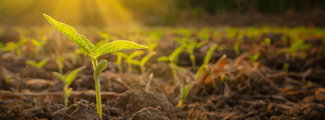
With the ability to standardize data collection and increase precision of said data, precision agriculture – and specifically aerial imagery – has become a preferred method for many to get the data required to prove product efficacy and understand field trial performance.
Combined with advancements in artificial intelligence and deep learning, aerial imagery becomes more than a snapshot of the field and its conditions. Translating the images into detailed data sets – and plant-level measurements – have unlocked the value of this imagery for product efficacy.
In the world of producing crop nutrition products, like phosphate and nitrogen fertilizers, using aerial imagery for data collection can be instrumental in proving product efficacy and validating product performance faster. In this blog post, see the top three areas where remote sensing can provide major benefits to product developers focused on advancing soil fertility.
Identify Areas of Nutrient Deficiency
Multispectral imagery goes beyond what humans can see by uncovering how much chlorophyll is present in a plant – helping to identify how healthy it is. In doing so, it can showcase which plants or areas of a field may be deficient in nutrients.
This can be helpful for anyone who has an interest in crop performance throughout the season, whether in research, product development, or crop production. By being able to understand how nutrient impacts crop health, it can help inform critical decisions. And for product developers, it can help to accelerate product development by pinpointing where field trials can be the most successful while uncovering how products are performing in said trials.
Developing targeted fertilizer application within the field can be useful to test out product efficacy. The resulting data can help to tell a story around the nutrient status of plants in a treated area, compared to those with a different product or no product at all. By using a standardized method to collect this data, it can eliminate any variability to make the data more reliable to inform how product development should proceed.
Track the Response of Plants to Fertilizer Treatments
There are several factors that impact how quickly fertilizer treatments deliver results for crop health. Because of this, it’s important to be able to track the response over time to see how things are changing (and hopefully improving).
Drones can quickly capture imagery across a field, covering significantly more acreage in less time compared to other methods. For validating the performance of fertilizer products, this can be appealing for a few different reasons. For one, it provides the ability to truly understand the impact of fertilizer across crops within a field trial – and give detailed plant-level measurements across all of the acreage, rather than just spot checking it.
With a proven method to collect data, it can become easier to deploy a pilot (or hire a pilot) to get this data at a higher frequency throughout the season. By being able to assess crop health by understanding changes over time, it can provide deeper insight into the efficacy of a crop nutrition product in real-world conditions.
The aerial imagery captured by drones can be one piece of the story here. By using agronomic modeling that uses temporal and spatial variables, it can start to uncover how other factors – like precipitation, growing degree days, and even soil composition – can impact the efficacy of products in the field. With the unpredictability of weather conditions, combined with the site-specificity of agriculture, having the ability to bring together several variables to tell a complete story of what’s happening, serves as essential.
Compare the Performance of Different Products
The old adage, “seeing is believing,” holds true when it comes to proving the efficacy of products in agriculture; especially when showcasing how results may differ based on a particular product.
Aerial imagery offers the ability to get the visual required to tell the story of how well a new product works within the field; but when processed via an advanced data science ecosystem, it can go a step further with quantitative data sets that can further prove out what the product can do.
In the case of crop protection products, this can be extremely beneficial to help retail ag partners and growers understand exactly what a fertility product can do in real-world conditions.
Advancing Soil Fertility: The Role of Remote Sensing
As the industry has experienced over the past decade, remote sensing holds many benefits – many of which haven’t been fully realized. Technology continues to develop rapidly, and as aerial imagery technology becomes faster and more widely adopted, it will become critical to solving some of the toughest agronomic problems that we face.
And, this includes soil fertility. Understanding how to continue to feed plants with the nutrition they require, given the changing growing conditions our world faces, while optimizing production will continue to be a major challenge for the agricultural industry.
Remote sensing unlocks the ability to capture precise and reliable data that can provide both qualitative and quantitative benefits. In doing so, it can help inform critical decisions for product developers by giving deeper insight into how plants respond to particular treatments. This can accelerate development timelines, benefiting growers by bringing better products to market and delivering higher yields to the world.
 , to see available analytics for deeper insight into key plant-level measurements for advancing soil fertility.