Seamless Integration Now Available with the Sentera 65R Sensor
ST. PAUL, Minn. – Dec. 14, 2022 – Sentera, the industry leading ag analytics platform powered by machine learning, today released its new integration between its ultra-high-resolution 65R Sensor and its Direct Georeferencing (DGR) System, which quickly connects to an ag drone to add high-precision location certainty to high-resolution aerial imagery.
“In today’s climate, our customers require ways to do more with less – and existing drone technology only gets them so far,” said Ryan Nelson, chief mechanical engineer, Sentera. “The pairing of our newest tools unlocks efficiency and productivity, helping to streamline workflows from data collection to capture to analysis.”
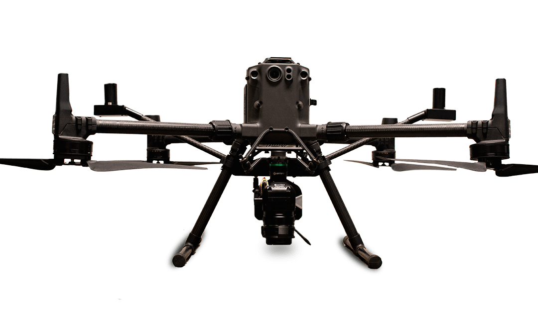
The 65R offers unprecedented 65MP resolution for aerial imagery. With its lightweight design and sustained three-frame-per-second capture rate, the 65R enables agronomic leaders to fly longer and cover more acres faster.
The Sentera DGR System features a tactical-grade inertial measurement unit (IMU) and RTK GPS that tightly integrates with a compatible sensor. DGR-enabled products quickly connect with compatible drones, including the DJI Matrice 300.
“Bringing the 65R Sensor and DGR System together means our customers can accurately project high resolution imagery onto a map without stitching, enabling them to map more acres at a faster rate,” said Nelson. “Reduced flight and processing time means researchers, product developers, and agronomic leaders are empowered to spend time where it matters most: validating crop health performance and outcomes.”
For more information about the 65R Sensor and DGR System, visit https://www.sentera.com.
About Sentera
Sentera powers in-season decision makers with the fastest and most reliable agronomic insights to maximize performance outcomes, from research, breeding and seed production to in-field product validation and sales support via its FieldAgent® platform to analyze comprehensive digital insights from numerous data providers, including aerial imagery that can be captured by Sentera’s drone technology solutions or services. Operating in more than 45 countries, Sentera works with hundreds of customers to monitor more than 42 million acres in real time. For more information, visit https://www.sentera.com.