by Lora Osborn | Jun 16, 2023 | Articles
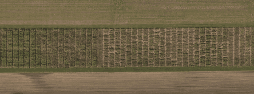
Orthomosaic maps are a powerful tool for crop monitoring and management. They can be used to identify areas of stress or disease, track crop growth, and optimize fertilizer and pesticide applications. By leveraging orthomosaic maps, ag researchers, product...
by Alyssa Pfaff | Feb 14, 2023 | Articles
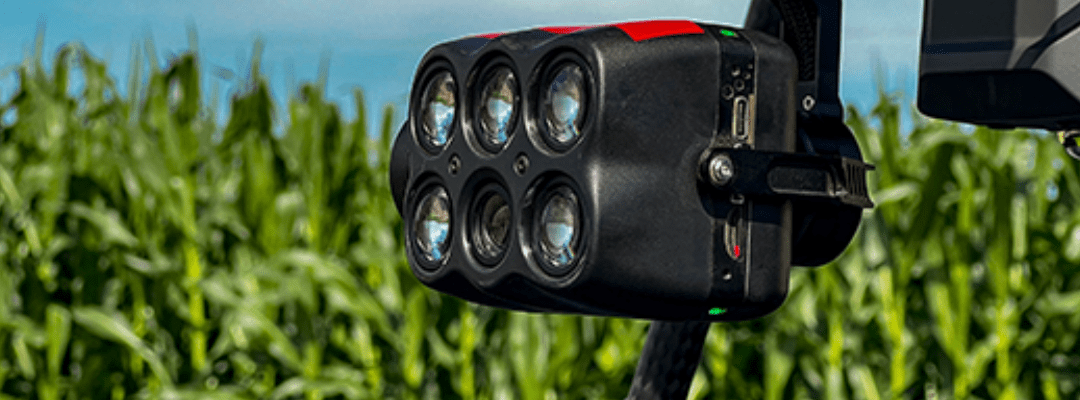
Ag drone systems provide an eye-in-the-sky for agronomists and capture high-value insights. And whether it be capturing RGB imagery or diving deeper with multispectral imagery, the 100% aerial imagery of your plots and fields proves to be extremely valuable. With the...
by Alyssa Pfaff | Nov 18, 2022 | Articles
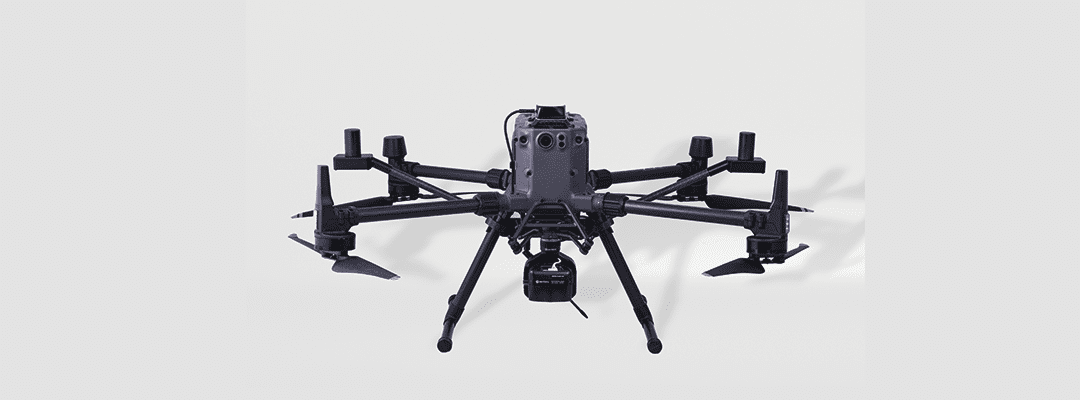
Over the past decade, high-resolution multispectral and RGB aerial imagery has proven its value for agriculture. This data is essential. From providing researchers with insights into phenotyping work to helping seed production experts create side-by-side...