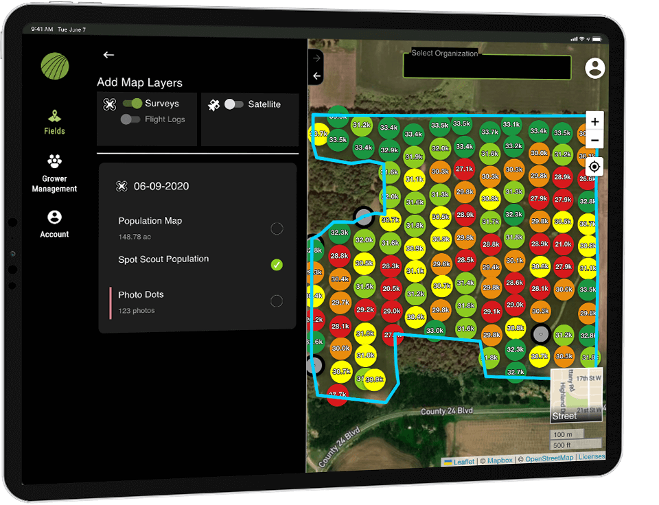
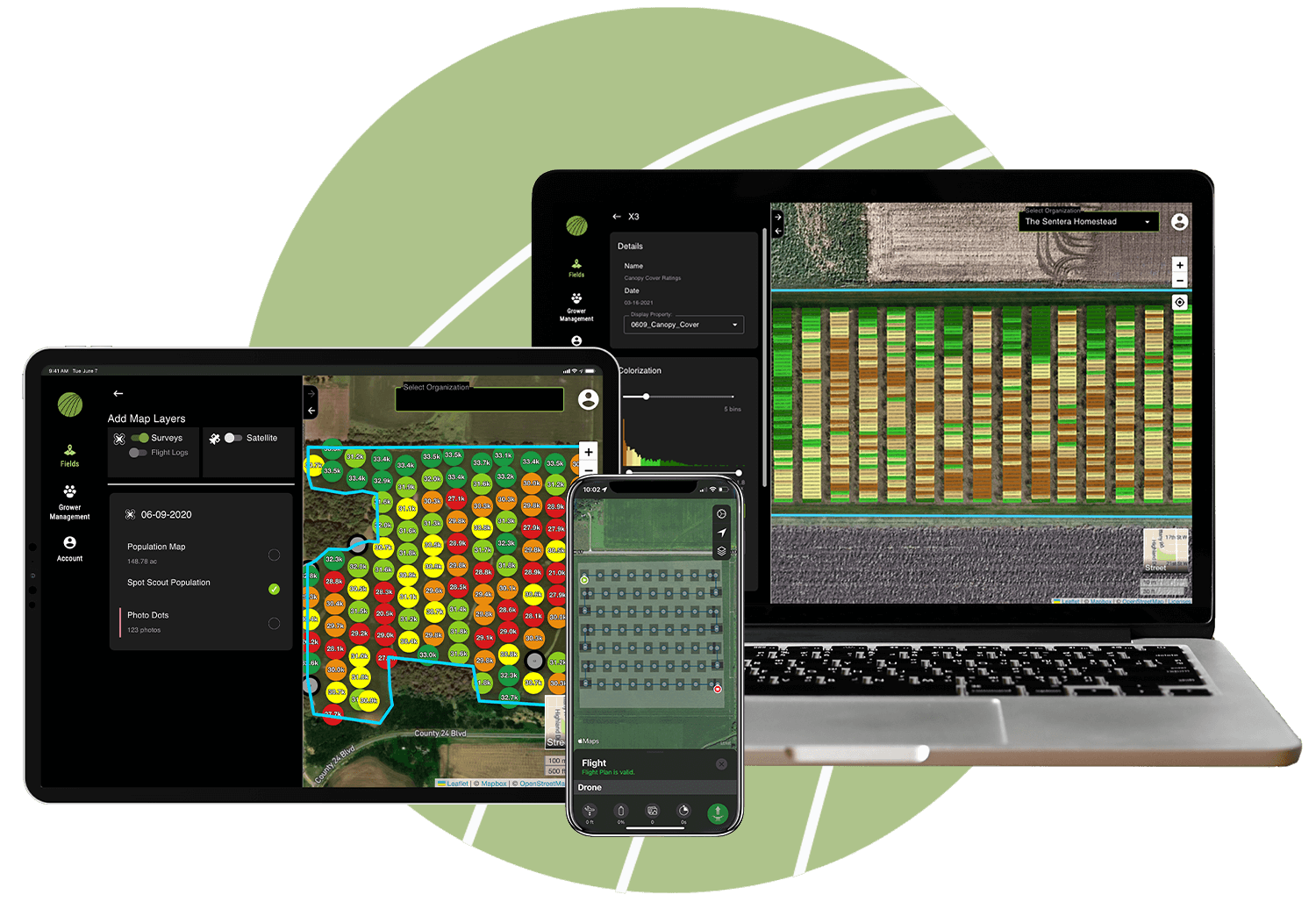
Easy-to-use ag software platform for data visualization and analysis to get a clear picture of performance and outcomes.
Empowering Teams to Work Smarter



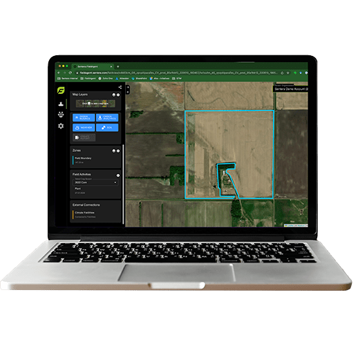

Validate Outcomes with Key Analytics

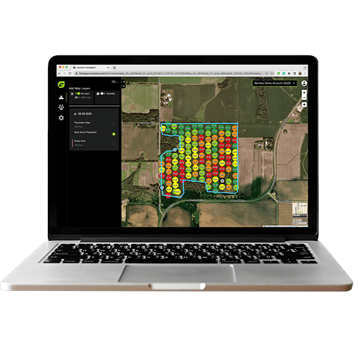
FieldAgent serves as the hub for data visualization and analysis. Start with FieldCapture to get high-resolution imagery, which are converted into key analytics via our FieldInsights offer.

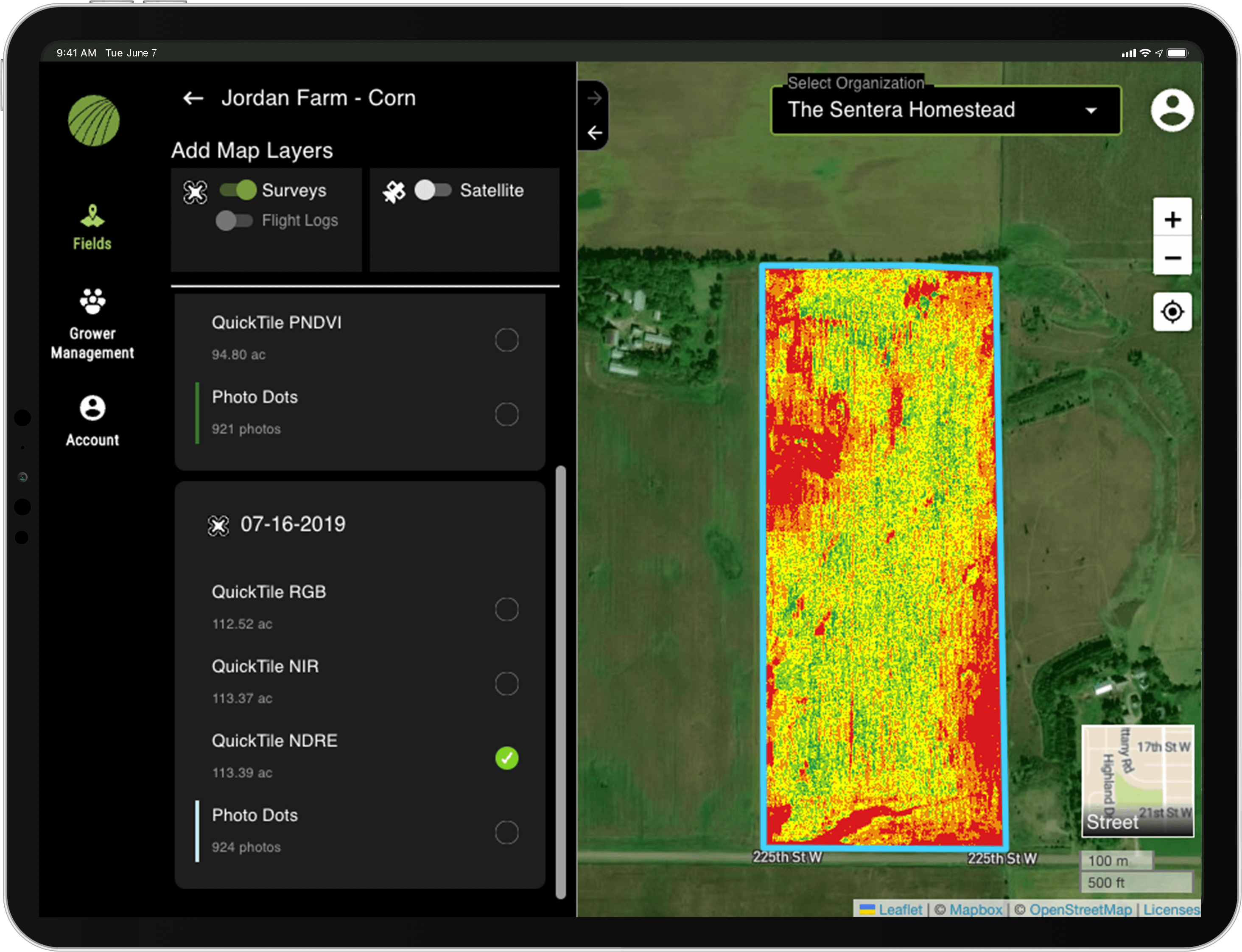
Dig Into the Detail
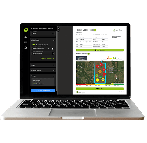
In just a few clicks, generate reports that capture imagery, notes, and historical data points for easy reference. Need faster analysis? Export it into your preferred format.
Work Smarter
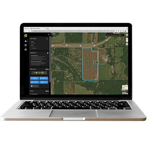
Streamline initiatives with notifications and task management, making it easy to prioritize scouting and in-field activities.
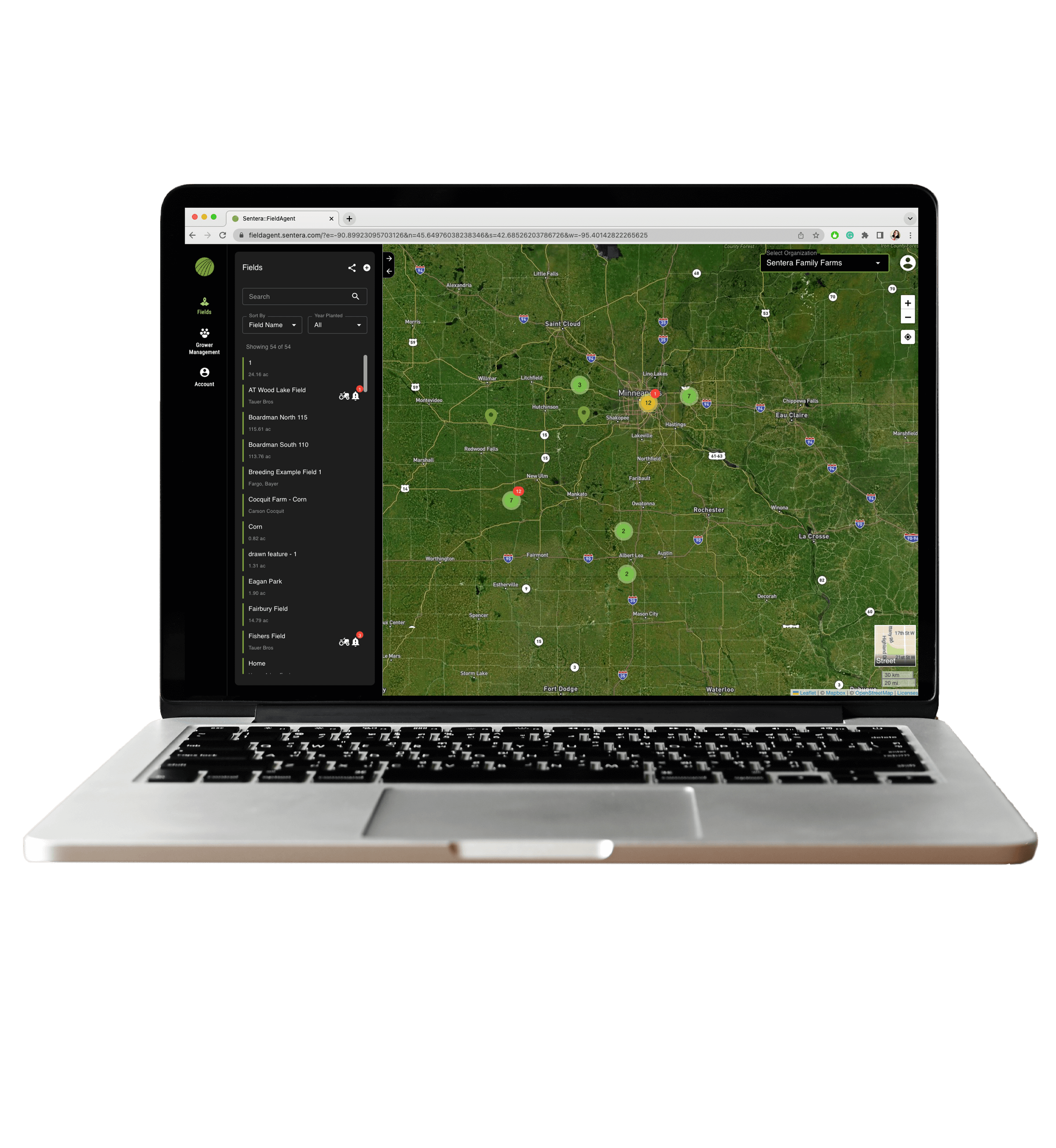
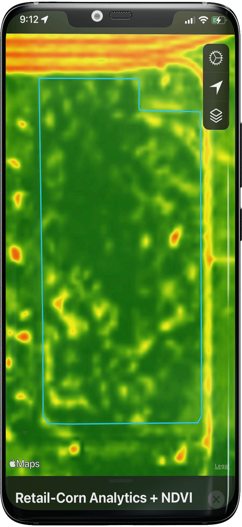
Get Insights On the Go
No matter where your day takes you, FieldAgent is there to give you the insight you need to make critical business decisions.
STAY IN THE KNOW

Driving Agriculture Efficiency with Drone-Based Remote Sensing: How Sentera is Leading the Charge Part 2 of 2
November 17, 2024 In Part 1 of this series, we explored how remote sensing is transforming agricultural efficiency by providing farmers and their advisors with real-time, high-resolution insights that traditional methods simply can’t match. We discussed game-changing...
Sentera Names Agriculture Veteran Joe Walsh as Chief Growth Officer to Drive Strategic Expansion in Precision Agriculture
MINNEAPOLIS, MN (October 16, 2024) Sentera, a leading innovator in scalable precision agriculture solutions, announced today that Joe Walsh will join the company as its Chief Growth Officer, effective October 7, 2024. With his extensive leadership in agriculture,...
Weeding Out Herbicide Inefficiency with Sentera
EPISODE: 17Sentera’s CEO Brian Wenngatz and CTO Eric Taipale take us through their journey to launching Aerial WeedScout, which enables the rapid detection of weeds so farmers can reduce herbicide use and maximize equipment efficiency. S2G’s Cristina Rohr also shares...

