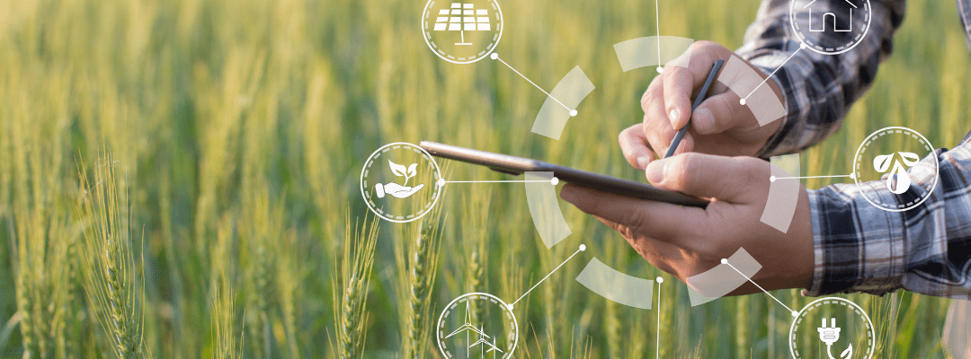
We often hear all about the power and uses of ag drones and sensors, but imagery alone can only do so much. But pair it with machine learning platforms and supported software? The ag analytics generated have immense value.
Looking for key indicators on crop health? How about pinpointing weeds? Or gaining deeper understanding into overall field and plant performance? The imagery captured by ag drones and sensors and analyzed by different platforms provide critical insights into crop health, performance, and can even help with predicting post-season results.
And leveraging aerial imagery comes down to more than just crop health – there are a variety of valuable analytics that assist in making critical decisions, gaining fast data, and validating outcomes. These insights allow you to pinpoint where to focus and assist in validating outcomes.
Gaining Access to Crucial Ag Analytics
Obtaining key insights into crop health and overall performance begins at capturing aerial imagery with ag drone systems. And over the years, their abilities have continued to blow expectations out of the water. We are able to not only get aerial views of our field, but we are able to get a look into what we are unable to see with the naked eye (cough, cough multispectral imagery).
The imagery is then transferred to machine learning platform, like Sentera’s FieldInsights, that analyze and translate into detailed analytics that go beyond just crop health. While you are also gaining insights from crop health to weed detection to canopy cover – and all those in between – three other key analytics are:
- Residue Cover, fuels critical decisions around soil management – including tillage and planting
- Crop Area, detects and validates field borders digitally
- Elevation and Hydrology, models how water will flow within a field to fuel critical decisions about water management
With advancements of ag drones and sensors, come increased capabilities of more behind the scenes technologies. As imagery becomes more advanced, so do all the surrounding technologies. The hardware we saw on the market even three years ago is not going to hold the same power and abilities as what is seen on the market today – and neither are its compatible tools.
Innovation essentially has a ripple effect throughout the industry – as one thing gets improved, so does everything surrounding it.
Ripple Effect of Advanced Hardware on Ag Analytics
All it takes is one new product, innovation, idea, or advancement to fuel those related to do the same. Just imagine all the light bulbs that go off as new improvements are introduced into the industry. We often see big products that get released or the newest, best ag drone hardware being introduced to the market. But what is less apparent are the products that follow – which in this industry tend to be supportive tools.
And the constant innovation surrounding ag hardware has provided stepping stools for machine learning platforms. As drone systems become more advanced and continue to expand beyond their initial capabilities, machine learning tools are also able to grow. The majority of us have heard of the advancements in artificial intelligence (AI) in recent years – especially in agriculture. We often hear of self-operating tractors, drones, and even seed-planting robots, but AI expands beyond just hardware; it takes form in different variations of machine learning.
Machine learning also takes forms in software tools – like agricultural modeling – that assist in providing agronomists key ag analytics to evaluate the past, inform the present, and predict the future. As the technology around machine learning grows, it triggers a chain reaction of innovation to not only support advancing inputs but also to go beyond the last advancement in terms of capabilities.
We even see adjustments with other ag data analyzing platforms to keep up with the advancements being made to aerial imagery.
Opening the Door for More RGB and Multispectral Imagery
The relationship between the aerial imagery captured and the tools leveraged to analyze is crucial in gaining efficient, reliable, and accurate insights into what is happening in your field or plot. Tools that provide these crucial ag analytics play a significant role in powering decisions throughout the season, where to focus, understanding crop health and performance, and validating post-season outcomes.
To make it easier to generate these critical insights, Sentera now accepts high-resolution aerial imagery from most third-party RGB and multispectral imagers. By increasing our capability to generate ag analytics from more sensor types, we can continue to accelerate the advancement of how data is used within the industry; helping to drive to a more productive future while empowering our customers with the tools they need to get insight into essential plant-level measurements.
After all, the goal of innovative technology is to continuously evolve to provide more accessible, efficient, and reliable tools to leverage. And by opening our solutions to outside imagery significantly boosts accessibility throughout the industry. This opens the door to more research capabilities, more data, and more people gaining access to timely, accurate, and reliable insights.
 .
.