With the global population nearing 8 billion people, crop researchers play an important role in meeting the challenges of boosting productivity to match the high demand for food. This includes advancing agricultural knowledge and developing innovative solutions for improving crop yield and resilience.
21st-century tools such as smart farming software, high-accuracy GPS, sensor technologies, robotics, and drone-based agricultural analytics have revolutionized data collection and experimentation methods. These technologies are allowing enterprise agriculture companies to manage more trials from further afield and gather deeper, more comprehensive insights into their high-value products than ever before.
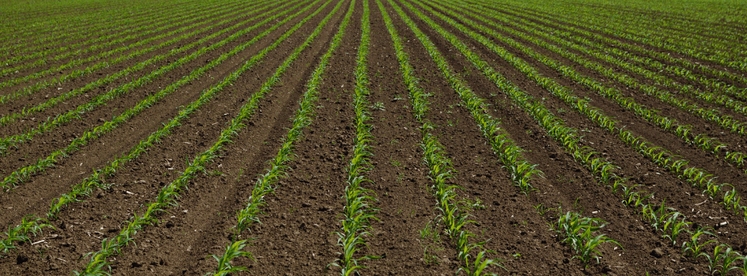
Many of these crop research and development programs start early in the season with stand counts. A simple but important measurement of how many plants have emerged, stand assessments have evolved over the years. While some still partake in tossing hula hoops or other painstaking manual processes that produce stand estimations of varying degrees of accuracy. Today, we have highly accurate, comprehensive aerial imagery-based AI stand counts that can be accomplished in a fraction of the time of the traditional techniques.
But stand count is just the beginning. Once you have this data, you can use drone-based analytics to better understand your plots and make even more informed decisions. But what analytics should you be looking at next? Depending on your stand count results, there are multiple answers to that question. If your stand count reveals good crop emergence, what should we look at next? What about poor crop emergence? Is there anything else we should be looking at?
Here we will explore the question, “I have my stand count results; now what?”
Experiencing Poor Crop Emergence? Here’s What to Do
In cases where plot stand count results indicate poor crop emergence, you may want to investigate the underlying causes and implement appropriate measures. Drone-based agricultural analytics provide valuable insights for diagnosing issues and guiding future product development:
1. High-Resolution Imaging:
Drones equipped with cutting-edge cameras can capture detailed imagery of the entire plot area. Analyzing this imagery helps identify gaps or inconsistencies in emergence, offering researchers insights into potential issues such as disease, seeding depth variations, or pest damage. Based on this valuable information, researchers can design targeted experiments or interventions to address these challenges.
2. Multispectral Analysis:
Utilizing drones with advanced sensors enables researchers to assess plant health and vigor. By analyzing the spectral reflectance of crops, researchers can identify invisible signs of stress, nutrient deficiencies, or disease symptoms. This data aids in understanding how these factors impact emergence, facilitating the exploration of appropriate management strategies or future experiments.
3. Environmental Monitoring:
Using drone-based analytics can also expose crucial environmental data to understand emergence factors. Thermal sensors can assess soil moisture levels, identifying areas of inadequate moisture and helping pinpoint irrigation or drainage issues. Temperature mapping can also shed light on how localized microclimatic variations impact emergence rates.
The Next Steps Following Good Crop Emergence
In cases where plot stand count results indicate good emergence, you might shift your focus to optimizing crop performance and conducting comprehensive trial assessments. The following drone-based analytics can be valuable in these scenarios:
1. Crop Health Monitoring:
Drones equipped with Normalized Difference Vegetative Index (NDVI) or multispectral sensors, such as the Sentera Double 4K NDVI or 6X Sensor, can help researchers to monitor crop health throughout the growing season. Early detection of stress or disease enables researchers to gather valuable intelligence and implement proactive measures.
By integrating drone imagery with other data, such as geographic weather patterns, soil conditions, or planting techniques, researchers gain a holistic understanding of seed, treatment, or input performance and can make informed decisions regarding strategies for product viability or market positioning.
2. Canopy Analysis:
Drones equipped with high-resolution RGB sensors, such as the Sentera 65R Sensor, can capture imagery of the crop canopy with stunning detail. Researchers can analyze parameters such as two-dimensional canopy cover, three-dimensional plant height, and spectral information from crop health monitoring flights to measure biomass distribution.
Quantifying these metrics provides insights into the uniformity and density of the crop stand, facilitating observations on seed quality, treatment efficacy, planting practices, or overall crop performance.
3. Phenotyping and Yield Prediction:
Drone-based phenotyping allows researchers to collect high-resolution data on various plant traits, including height, canopy area, or flower cover. This data helps researchers and product developers quantify crop growth dynamics, evaluate yield predictors, and assess the response to different treatments. Combining drone-based phenotyping with other field observations offers a comprehensive understanding of how a plant develops in different environments and how that development affects yield.
Stand count results are rarely homogeneous across an entire trial and, depending on the part of the field or individual plot, your results in your study would likely fall into both the “poor emergence” and “good emergence” categories. Thus, the analytics program for your trial would involve some or all of the above, depending on the research goals.
The bottom line is that drone-based agricultural analytics is a powerful tool that can be used to improve your crop research. Using a variety of drone-based analytics delivered in an easy-to-use platform such as FieldAgent, can build a comprehensive understanding of your plots and deliver faster, more informed decisions to guide the direction of your research or product development program.


