High-resolution multispectral and RGB aerial imagery has transformed the value and methods of data capture and analysis in agriculture. Collecting data faster and more accurately has revolutionized ag research capabilities.
Whether comparing an entire field’s performance or looking for in-the-moment indicators on crop performance, scaled maps provide the views needed for crucial insights. Traditionally, this has been done with orthomosaic stitching, but this can often slow down the data analysis process – which presents challenges for uncovering key results right at the field’s edge.
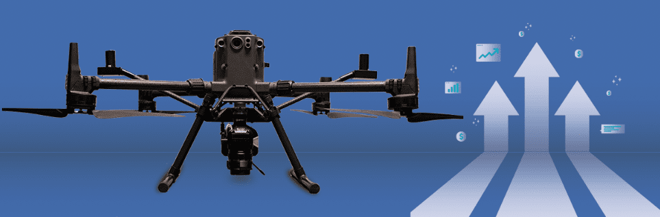
Sentera’s Direct Georeferencing (DGR) System is making what was thought to be impossible, possible in terms of capabilities – delivering faster ag data. Drastically reducing project time from data collection to analysis while preserving and enhancing the accuracy of maps generated by aerial imagery seemed to be implausible. But the DGR System has completely surpassed any expectations and hopes for these spatially accurate, high-resolution maps.
Over the past few weeks, we have covered what the DGR System is, its power, and key use cases. So now let’s answer the question: what is the true value of the DGR System?
Unprecedented Capabilities: Faster Ag Data Delivery
The time-saving capabilities start right off the bat with the DGR System. From takeoff, the DGR System works diligently to cut hours off the flight time. How? The geolocation accuracy built into the system delivers absolute location certainty – eliminating the need for ground control points and capturing exactly where images are taken in flight. The result? Capturing 9x fewer images.
It doesn’t end there – post-flight is when we see the most impressive results. When it comes to the standard processing capabilities in the market today, it could take five hours or even longer. Much of this is often out of the user’s control, as the data must be shared with an outside processing source to stitch an orthomosaic map. With the DGR System? Ditch stitching – and get a detailed map within minutes after pulling the data.

Time is money. And saving 97% of post-processing time gives you hours back. Faster ag data delivery means you can spend more time where it matters most: analyzing data to make critical decisions to help validate outcomes.
Imagine being able to access crucial performance data at the field-edge. By scrapping post-processing stitching, you can have an indication of crop performance and health before leaving the field. This results in faster decision-making; boosting productivity and yield in the long run.
Reducing Costs while Preserving Efficiency
Time is one of many potential gains from the DGR System. There are also data management benefits, which lead to other cost savings.
Traditional aerial imagery capture means you must capture images with at least 70% overlap to stitch the resulting image. With the DGR System you can cut that down drastically by cutting the average number of images taken by 90%.
Image reduction goes beyond preserving time; it also minimizes the amount of data storage. Eliminating the need for thousands of images to be captured, stored, processed, and mapped can significantly reduce the number of resources – time and costs – to manage the process.
As demonstrated in the above real-world use case, the DGR System brings the total data volume from 29 GB to 3.4 GB – a 90% reduction.
Going Beyond Time with Sentera’s DGR System
Besides efficiency, the DGR System delivers absolute location certainty. A common misconception is that faster means sloppier; however, that is the exact opposite.
Sentera’s DGR System pairs now with three different sensors to specialize in different tasks while simultaneously providing sharper imagery. In addition to our science-grade 6X Multispectral and 6X Thermal, the 65R x DGR System goes one step further by providing ultra-high-resolution imagery and high-precision location certainty.
Previous workflows made it virtually impossible to get accurate, high-resolution maps in a matter of minutes. And we know that faster ag data delivery matters. For in-season data collection and analysis, speeding up the workflow – from data capture to collection to analysis – by nearly 8x can significantly impact how this data is used moving forward – a win for agronomic leaders.
Simply said, the DGR System is a one-of-a-kind product and nothing on the market comes close to its capabilities. So, let’s circle back – what’s its value? Whether you are focused on working more efficiently, accelerating workflows, or cutting costs, the DGR System can deliver – all without sacrificing what’s most important: accurate and precise data.
 , to see how the DGR System offers specific benefits to key use cases for ag research and product development.