As crazy as it is to think, we are approaching the end of the 2023 season and for some of us, harvest has already commenced. And this year has been filled with highs and lows stemming from a variety of challenges, uncertainty, innovation, and resiliency.
So, with these final months approaching, we wanted to highlight some of our favorite moments in the field so far this year. From early emergence to harvest time, our team captured a variety of images of their experiences throughout this season.
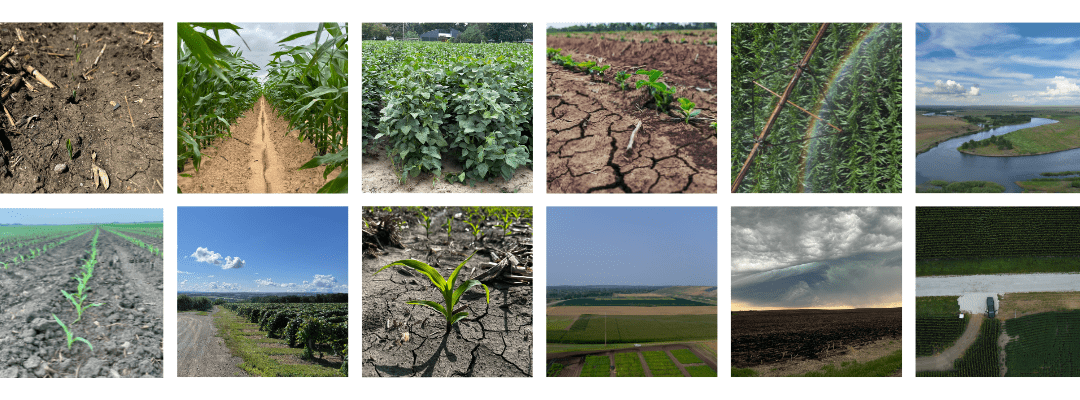
Here is a recap of 2023 so far!

While our work kicks off before the season even starts, one of the first critical times to capture data comes quickly after planting. Measuring and monitoring emergence can be one of the first indicators of yield potential and inform early decisions to maximize productivity and profitability – making this time critical for our team to capture data.

This up-close visual of V2 corn serves as a good reminder that crop monitoring doesn’t stop at emergence and pick back up later in the season; monitoring crop health and performance through each stage can be crucial in securing higher yields.
Analytics like Crop Health are good next steps after measuring early season emergence with Stand Count.

And as we creep closer to the end of the season and crops approach harvest readiness, remember it doesn’t hurt to leverage late-season analytics to fuel any last-minute decisions or get a final glimpse into yield.
With seasons kicking off at different times, our team is always busy. This late season corn is a prime example of getting that final look at your crops to make any last-minute decisions. Late-season analytics like Tassel Count can provide an accurate look at yield and assist in forming your harvest plans.

And just like every year, we dealt with the uncertainty and extremity of weather. From wind and hail damage to drought, there were plenty of instances of crop loss due to storms and disasters. While weather may be uncertain there are tools and products available to assist before, during, and after a storm or disaster.

And aerial imagery isn’t just useful for corn, soybean fields, and other common crops – there’s also a valuable role for it in the vineyard and permanent crop sector. Remote sensing from ag drone systems can provide valuable insights into permanent crop performance and health.

Agriculture was no stranger to heat and drought stress this year, resulting in less-than-optimal soil conditions. Drought can result in permanent damage to not only crops but also to soil health and quality, resulting in worsened growing condition and lower yields.
And drought wasn’t a one crop pony, it crippled corn, wheat, soybeans, and more across the U.S. Both these photos showcase some of these dry conditions soils faced and agronomists worked diligently to combat. From beavers to irrigation systems, every method was explored to mitigate the impact of drought on crops.

One of our favorite images of the season – who says late season images can’t be informative and aesthetically pleasing? This aerial image captures an irrigation system in action and casting a rainbow on the field making for a perfectly timed image.
Unfortunately, one of the common themes this year was drought, resulting in damage to crops and pushed the need for effective irrigation strategies. Another issue surrounding this is sustainable input use to limit costs and preserve resources – including water, pushing for more precise and climate smart irrigation. And what better way to inform these irrigation strategies than with aerial imagery?

From down to the tassel to multiple plots or fields, our team captured valuable insights of various areas with various conditions, needs, and functionalities – providing value to many different people.

The views from a drone don’t get too much better – thank you to our Flight Services Team for documenting your season and capturing some great visuals along the way!
 .
.