Technology has augmented numerous elements around understanding crop health performance throughout the season, including the quantity of measurements, the number of times that they can be captured, and even the types of data that can be collected about a plant.
For an industry that has traditionally been challenged by capturing data (particularly at scale), this has been revolutionary. It has opened the doors to predicting yield outcomes early in the season, as well as helping to fuel sustainability initiatives for a more productive future.
However, using remote sensing in agriculture goes further than that. It can even help researchers and product developers get their hands on much-needed data to validate key outcomes earlier in the season, and faster.
What is Remote Sensing in Agriculture?
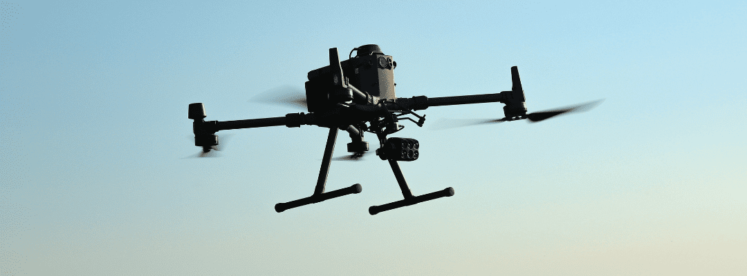
Like other industries, remote sensing in agriculture started with aircraft flown by pilots; and evolved to include satellites orbiting around the Earth. From there, the third generation source of remote sensing data comes from ag drone technology.
Each of these techniques brought visibility into new metrics and measurements for plant health data, starting with the ability to offer RGB and multispectral imagery to indicate how healthy plants may be during the season. Uncovering how light reflects off plants served as a first step in being able to monitor – at scale – how crops perform across a field at numerous points in the season.
Drone technology, paired with high-resolution sensors designed for ag use cases, revolutionized this data by providing a layer of precision and accuracy to what was readily available by satellites. With the ability to control when (think low cloud cover) and where (the entirety of a field, for instance), an ag drone system unlocked the ability to map what was happening at the field throughout important points in the season, say after emergence to understand where it may be helpful to replant or apply inputs.
What’s more, pairing remote sensing data together – like satellite data, weather, and soil information – with drone technology can create a comprehensive picture of what’s happening at the field level. As it’s well known, every season in agriculture looks quite different, so the more data points – the better.
How Can It Support Researchers & Product Developers?
For researchers and product developers, getting precise, accurate, and timely data has always been a challenge. Manual, boots-on-the-ground efforts only go so far to collect the right data at the right time. After all, there are only so many hours in a day and with such a small window to collect validation data, it often means that only a sample set of a field can be captured – even in plot trials.
But, remote sensing in agriculture has opened many doors for researchers and product developers. Leveraging ag drone technology, it’s easy to get high-resolution multispectral imagery to see plant health. This helps to inform where boots-on-the-ground labor should focus, helping to pinpoint the areas that need the most support.
It doesn’t stop there. Machine learning platforms in agriculture have evolved to take this imagery – whether its RGB or multispectral – and translate it into detailed data sets. In short, these platforms can turn pictures into numerical data, available in spreadsheets for detailed analysis. The most impressive part? This doesn’t require extensive time – while many don’t rely on the data in-season, it can be analyzed and ready for review in a matter of days after the drone flies the field and captures the aerial imagery.
This is revolutionary, particularly in thinking about agriculture and the biggest challenge that all who serve this industry face: unpredictability.
It has been said that the only predictable thing about agriculture comes in the form of unpredictability. First of all, there’s everyone’s favorite topic – the weather. The weather, more often than not, becomes a boon in the season; causing challenges that tests input management while even creating some unmanageable disasters.
Of recent, there are also supply chain issues, making it challenging to get the inputs required to manage what’s needed in the field. And, let’s not forget that the field in itself is a challenge – often times with pre-season management impacting what needs to happen during the season.
Using remote sensing technology like ag drone systems, complemented by more passive sensing technology, can finally provide insight into what’s happening at the field level while providing the level of detail required to truly validate outcomes.
Remote Sensing in Agriculture: Validating Research Outcomes
When it comes to remote sensing in the agriscience research space, perhaps the biggest challenge is understanding the how.
The “how” referring to building out a remote sensing program that fits with what may already be established or planned. Changing the way to capture and report data for an already established plot trial program could taint the data; and while it may be more efficient and accurate, it may cause challenges when it is time to validate what happened.
For new programs that take time and resources to get off the ground, trying to build out a remote sensing plan that works for the program can feel overwhelming – after all, getting a new program off the ground is hard enough (especially given the issues highlighted a few paragraphs before).
There are a few things about remote sensing in agriculture that makes it easy to implement. First of all, the entry point – using satellite, weather, and soil data – is an easy place to get started. This data will give some insight into crop health and performance, which will help to validate outcomes. Some initial spectral imagery captured by satellites will give insight into performance throughout the season.
Getting data from an ag drone system has a few key considerations. This doesn’t have to replace how you get your data today; it can supplement what’s already in place. And in supplementing what’s in place, it can validate the data you are already planning to capture – while adding more measurements and frequency than what may work with existing methods.
That’s great, but who has time to learn how to fly a drone and understand the rules and regulations for commercial pilots? That often comes as a blocker for many; there are services out there (like Sentera’s Flight Services) that does it all for you. Provide the field and timing, and the flights are captured for you – resulting in an output of detailed data and measurements.
Build Your Story for the Season with Remote Sensing
With the next growing season just around the corner, now is the time to start planning how remote sensing can support the story for the season. Whether its validating hybrid seed or producing a new input to support growth, remote sensing has a place and ability to transform data collection to ultimately power faster and more precise agronomic decisions.
 , to see how it can work for your plot trials or product development program.