Between working wanting a more profitable year and working towards a more secure future, optimizing yields is on everyone’s minds. And what better way to do so than executing a successful drone flight?
Gaining both timely and accurate data from aerial imagery is key in both validating outcomes and fueling critical decisions that can lead to a more productive season. And the way to secure this is through planning and executing a successful mission that hits all of your targeted goals and obtains the data you need.
Having a successful mission doesn’t stop after the drone lands, in fact, the fun is just beginning. This is the time you get to see your hard work and planning truly pay off. And you also get the chance to double check that everything was done correctly and with good quality, ensuring your analysis and decisions are as accurate as possible.
Tips for Success: Leading up to Field Edge QA Process
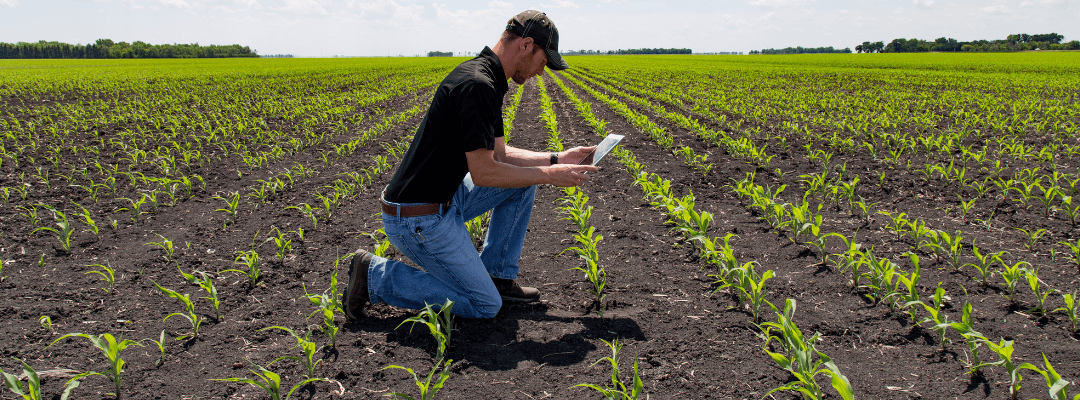
Successful analysis at the field-edge starts before the flight even occurs. Securing a successful mission starts with the pre-flight planning – that continues to have a trickle effect on the rest of the flight. This time ensures you are choosing the correct time, place, and equipment for completing the correct flight for your goals and needs.
We can never harp enough on the importance of setting pre-flight goals because they play a role in each phase of your flight – even post-flight analysis. So, before we dive into tips on what to do after your data is captured reflect on these questions:
- What are your end goals?
- What data are you hoping to collect?
- What questions are you intending to answer?
- What are your biggest concerns?
The answers to these questions are going to guide you in determining hardware, when and where you fly, and what you do after your data is collected. With different specializations in ag drone systems, pinpointing exactly what you want accomplished will help dictate when you fly and determine the equipment you need. Not only does this help determine when and what you fly, it helps you navigate which areas you need to cover. You want to ensure that you are flying the correct parameters for the data you need to meet your mission goals.
Diving into the QA Process
So, you have just successfully landed and captured the correct imagery, now what?
After you have flown your field and you’re ready to dive into the data you’ve collected it’s time to pop out that SD card and begin digging in. After you have connected this to a desktop computer, move the data from the SD card into a local folder to better manage and organize your data. Next, you want to import this folder into FieldAgent Desktop where you will click “Create Survey” and import your images for one field at a time. Once all your data is correctly imported into FieldAgent, there are three key steps that go into the field edge QA process:
- Connect your images to FieldAgent Desktop and begin looking over your field to ensure that you’re not missing any images.
- If Ground Control Points (GCPs) were used for your flight, scan the images of interest to ensure they are clearly visible and free from any debris.
- Once these two are checked off, it’s time to browse the images to make sure the photos are good quality, and that none are warped or unclear.
And if any of these steps failed? You can refly the entire field or only the portion of the field where the problem occurred. This is where location-certainty can boost efficiency by pinpointing exactly what area would need to be flown again. And innovative technologies have made that even easier for you. Ag drones and sensors have been created for enhancing location accuracy – like Sentera’s DGR System that pairs seamlessly with the 65R Sensor to add high-precision location certainty to high-resolution imagery to optimize efficiency and precision.
This process helps you to secure accurate and precise imagery that can promote reliable decision making. And all these steps help you to ensure that the correct mission and parameters were flown, which can often be overlooked. Plus, you want to guarantee that everything is correct and in optimal shape before making any critical decisions. This part of the data analysis process is crucial in fueling well-informed decisions and in gaining an accurate understanding of field performance.
 for more tips on having a successful mission and what to do pre- and post-flight.